Kavel 920
920
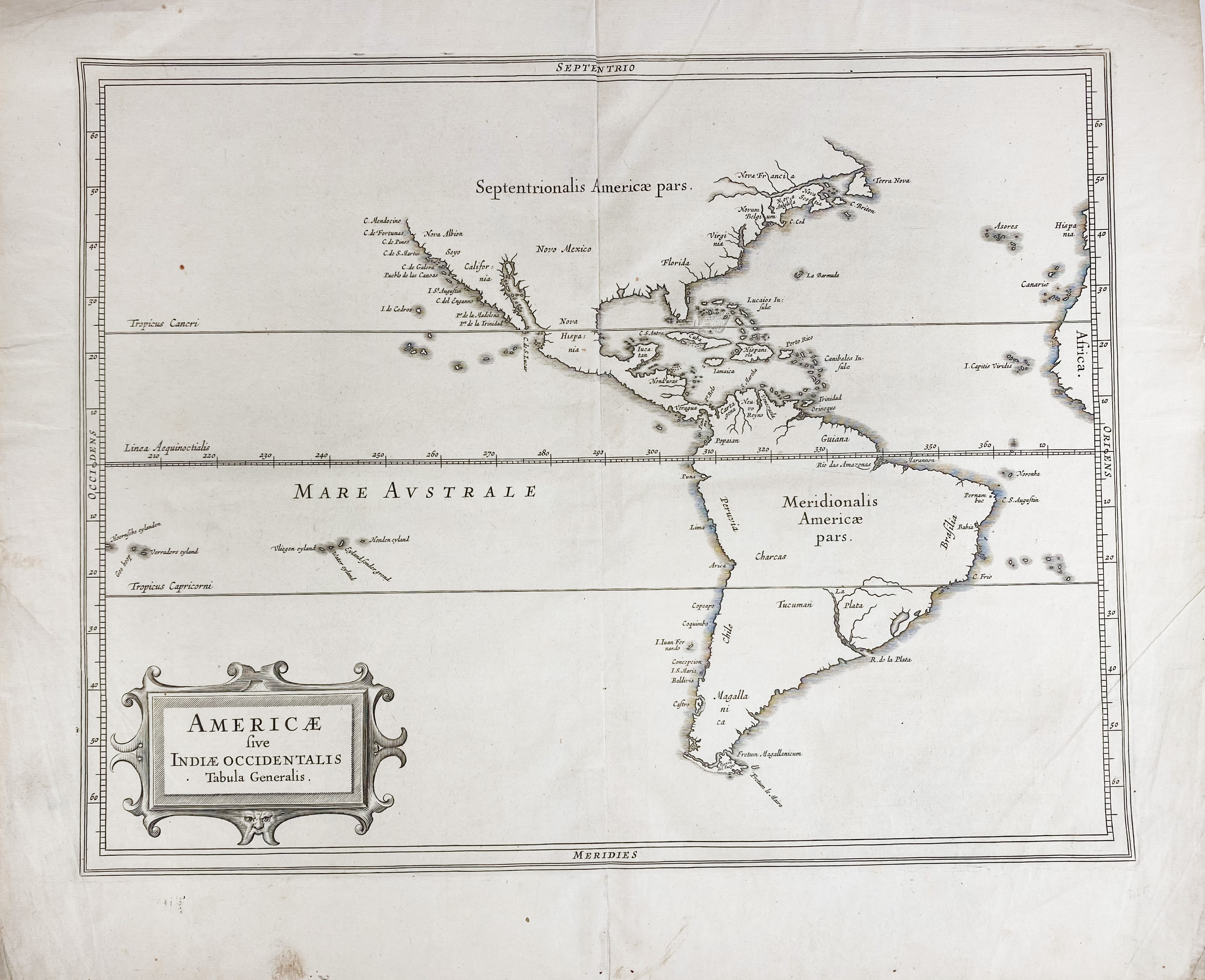
AMERICA -- "AMERICAE sive Indiae Occidentalis tabula generalis". (Leyden, c. 1630). Plain engr. map of North and South America by J. de Laet/H. Gerritsz. 280 x 355 mm. (A few tiny wormholes in lower blank margin, some tiny splits, a few faint marg. stains).
A very accurate coastline map for the period, considered the best. - Burden 229.€ 200
uitslag € 280
Terug