Kavel 269
269
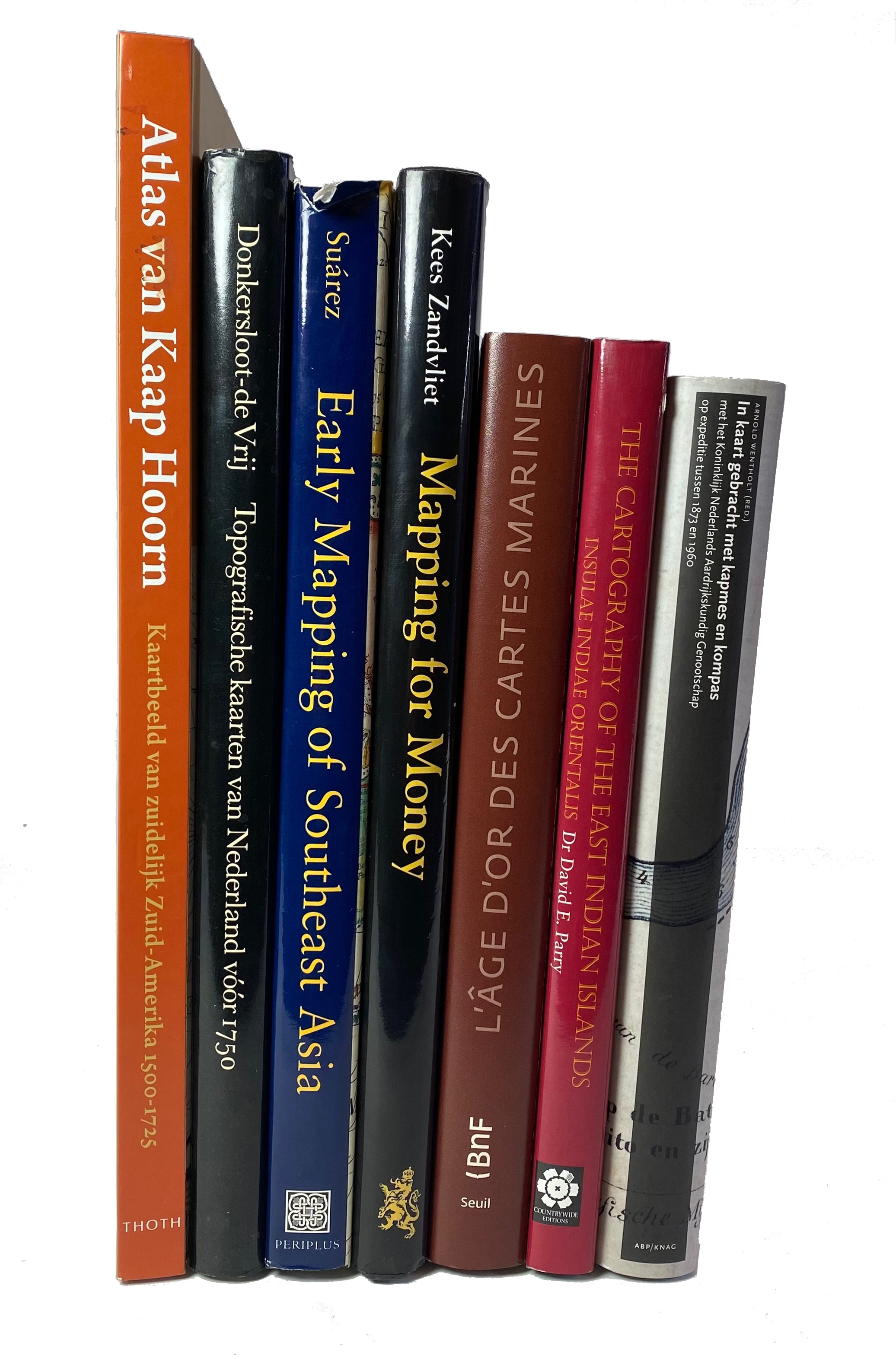
PARRY, D.E. The cartography of the East Indian Islands. Insulae Indiae Orientalis. 2005. Square-4°. Obrds. w. duts-j. -- Th. SUÁREZ. Early mapping of Southeast Asia. (1999). 4°. Or. bind. w. dust-j. -- M. DONKERSLOOT-de VRY. Topograf. kaarten van Ned. vóór 1750. Handgetekende & gedrukte kaarten (…) toegel. & beschreven. 1981. 4°. Or. bind. w. dust-j. -- K. ZANDVLIET. Mapping for money. Maps, plans and topographic paintings and their role in Dutch overseas expansion during the 16th and 17th c. 1998. 4°. Obrds. w. dust-j. -- And 3 o. (7).
€ 80
uitslag € 150
Terug
