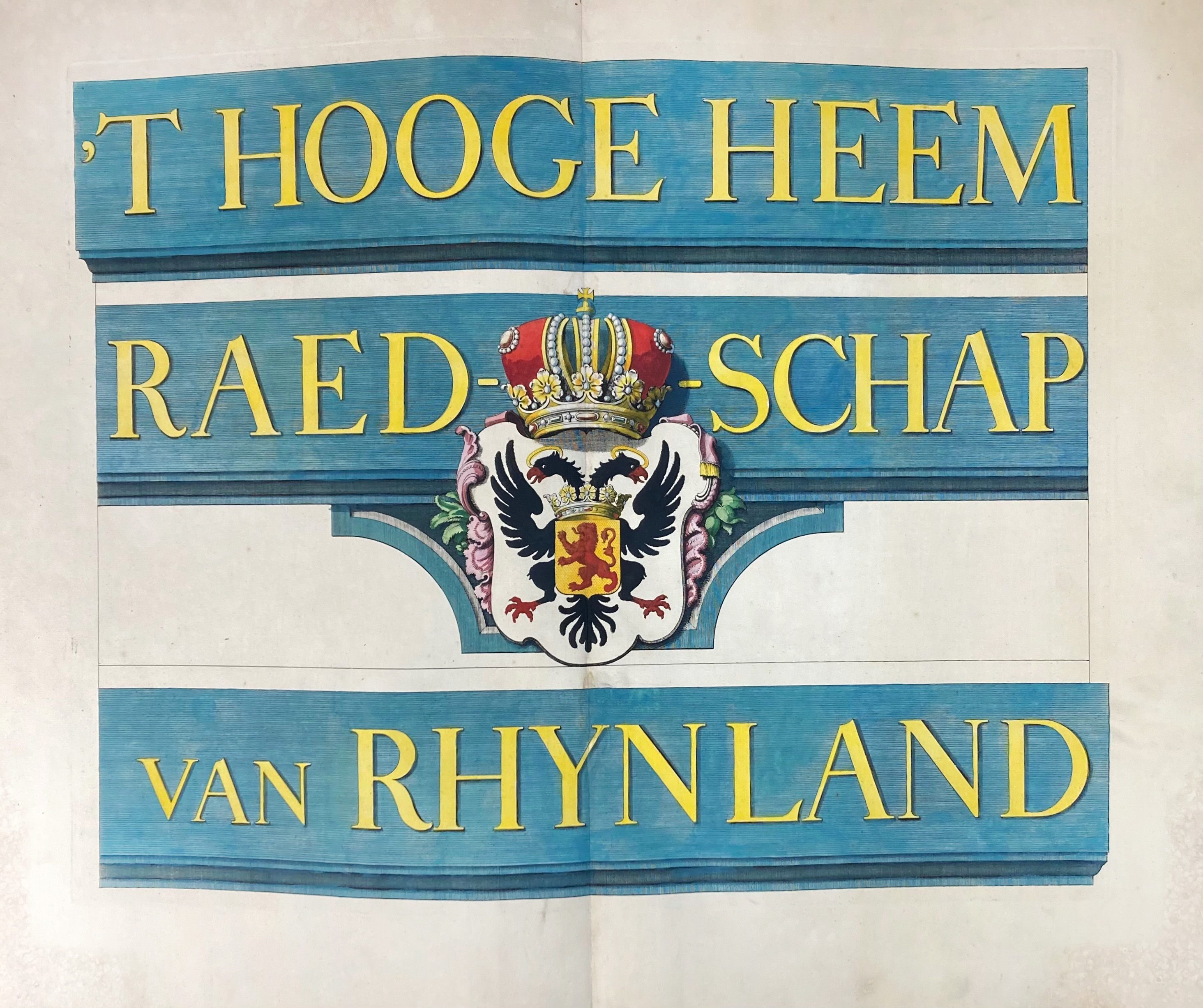
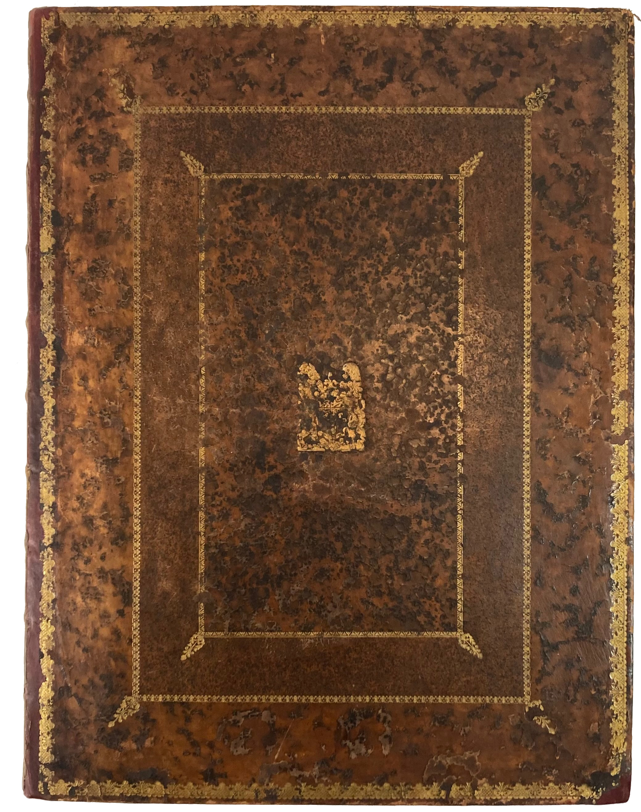
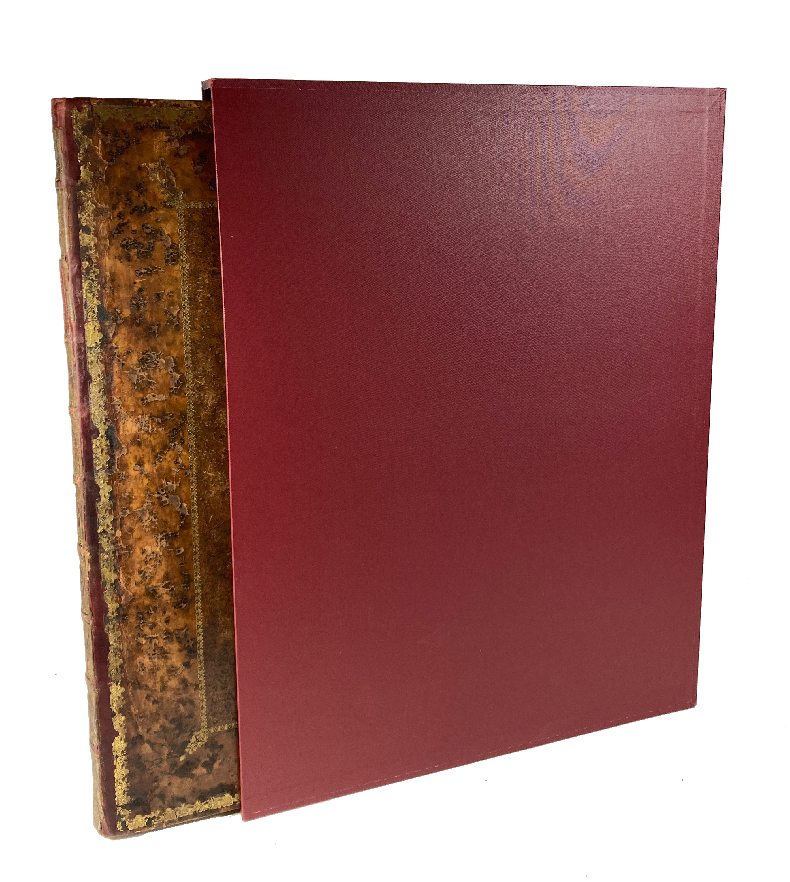
POLDER MAPS -- RIJNLAND -- (DOU, J.J. & S. v. BROECKHUYSEN). 't Hooge Heemraedschap van Rhynland. ((...) vernieuwd, geamplieerd en gecorrigeerd (d. M. Bolstra)). (Amst., I. Tirion, 1746). W. engr. title on 1 double leaf, 12 engr. maps on double leaves (tog. forming a wall-map of c. 186 x 168 cm), & 1 engr. w. projected sluices near Katwijk on 1 double leaf, all in crisp cont. colouring. Lge-fol. Cont. cf., skillfully rebacked, spine w. raised bands, dec. in gilt w. red label, sides w. armorial dec. & bands in gilt, all maps mounted on stubs. In custom slipcase. (Slight waterstaining in lower right corner of first 4 maps, maps 7, 8, and 9 skillfully repaired w. paper & Japan tape, the extra map of the Haarlemmermeer not present).
Third, corrected edition of this fine, coloured and detailed polder atlas of Rijnland. The maps were engraved by David Coster after Melchior Bolstra's revision and augmentation of the second edition of 1687/88. The last plate represents the 'Concept sluijzen 1629' (representation of the sluices) near Katwijk. The maps can be assembled into a large wall map. Donkersloot-De Vrij, 715 mentions the name of the publisher who can not be found on the maps themselves. She also states that the edition was limited to 650 copies only. - Renkema 202.3; Koeman, Geschiedenis van de Kartografie van Nederland, p. 138.€ 1800
uitslag € 3000
Terug