Kavel 1028
1028
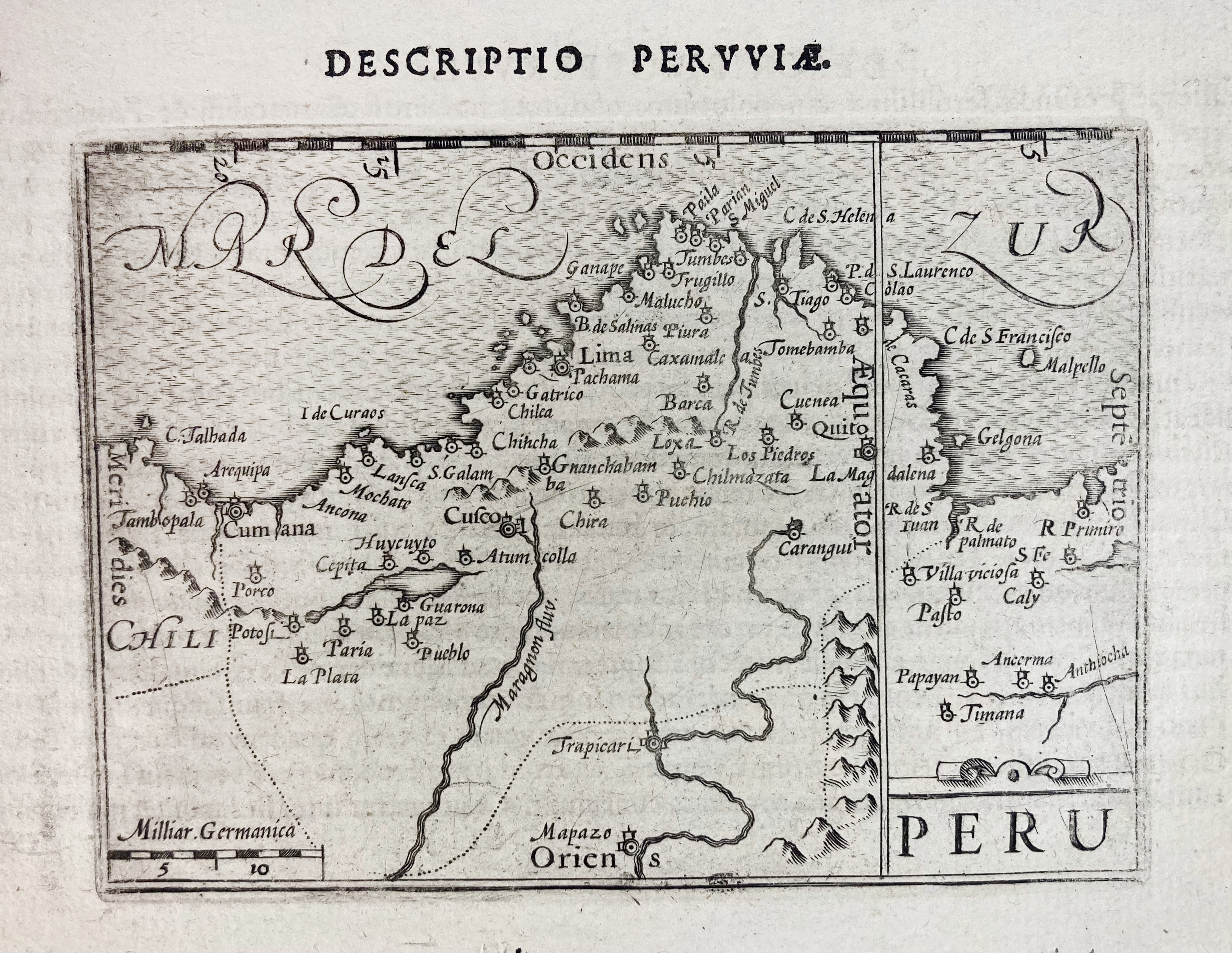
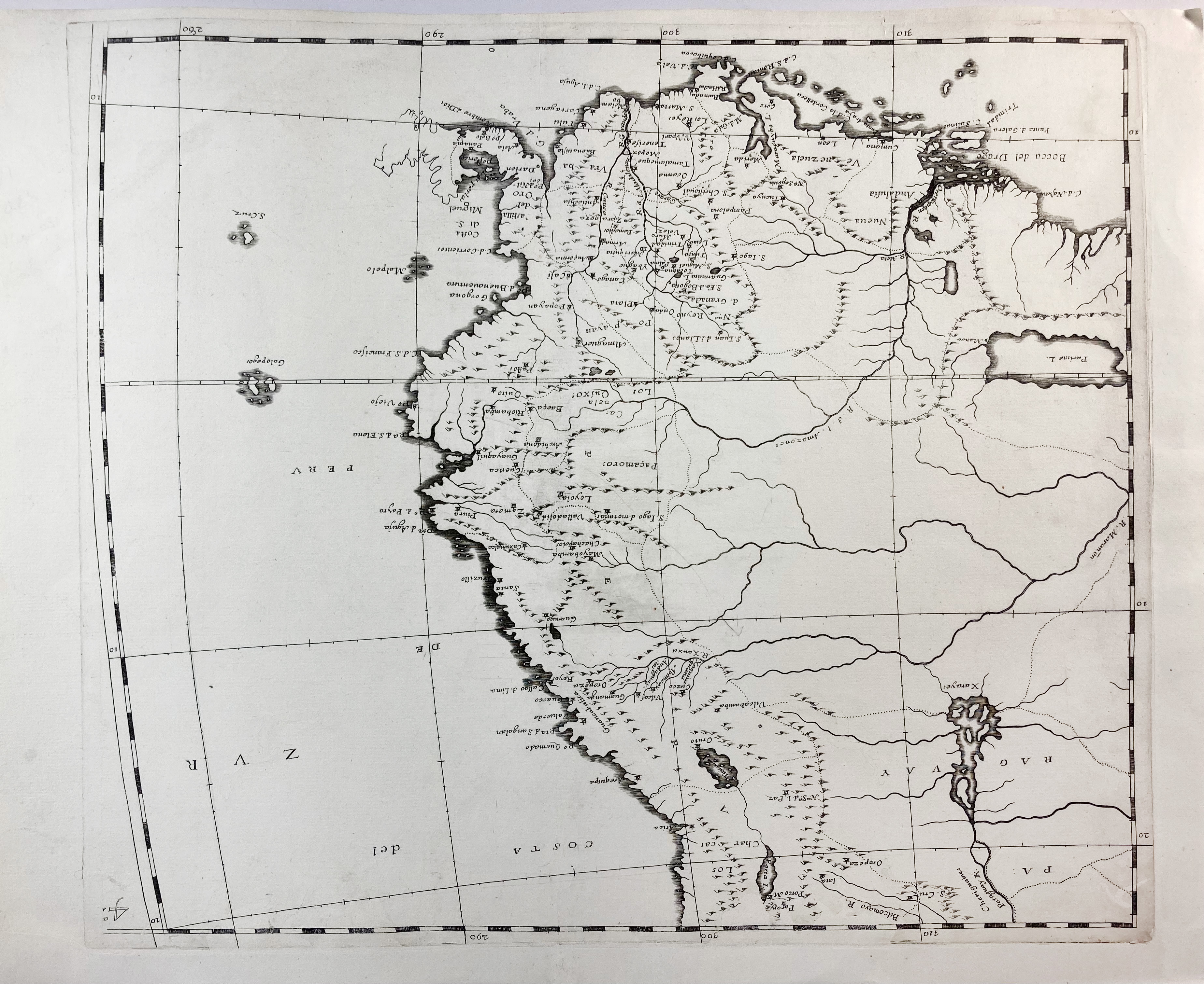
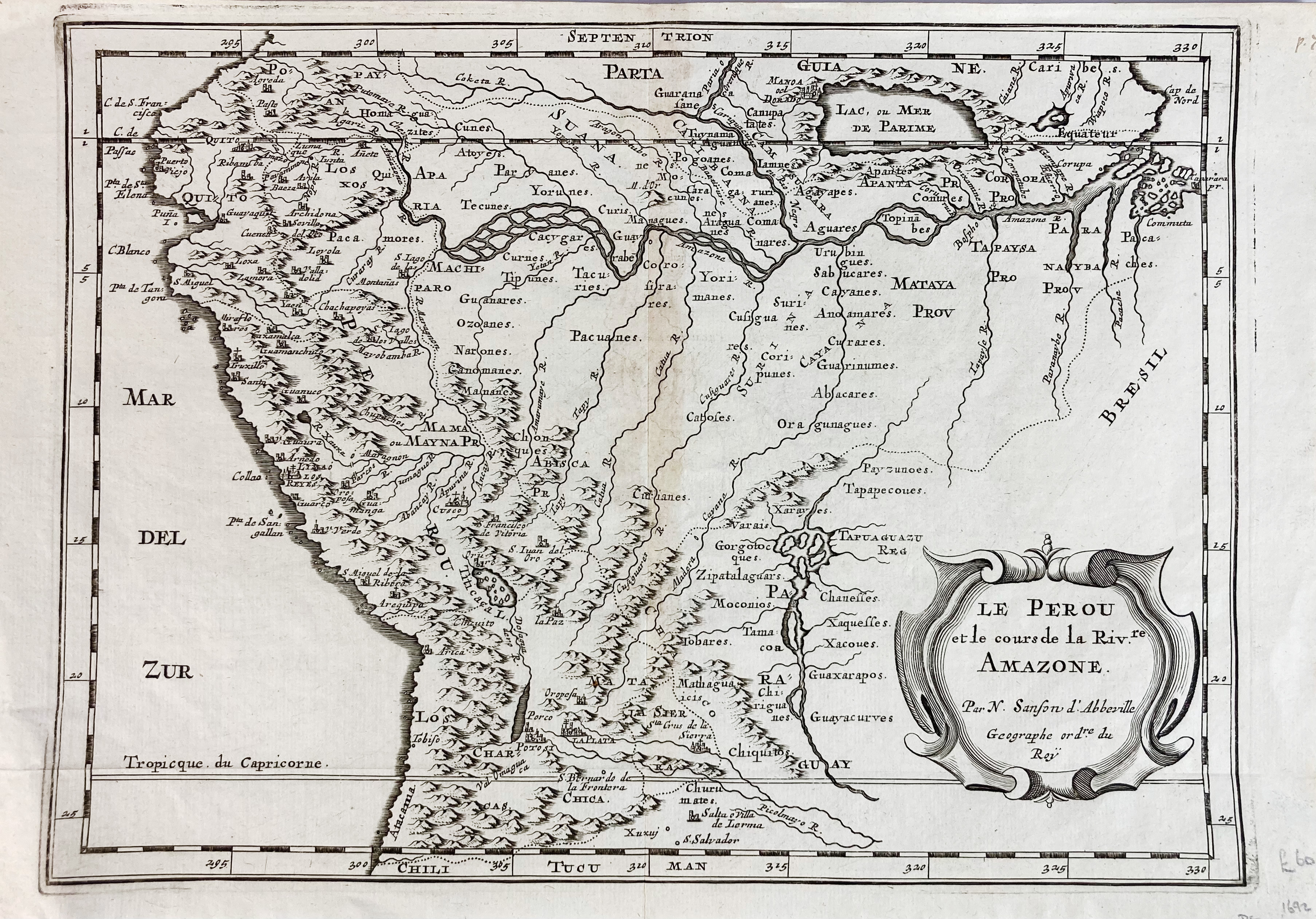
SOUTH AMERICA -- PERU -- COLLECTION OF 13 MAPS & PLANS OF PERU. 17th-18th c. Diff. sizes.
I.a.: "PERU". Bertius, 1606. 90 x 124 mm. -- "PERU DESCRIPTORE Ioanne Baptista Nicolosio". 3 engr. maps, numbered "2a(-4a) Peruviæ". Nicolosio, Rome, c. 1660. 400 x 460 mm each. -- "LE PEROU et le cours de la Riv[iè]re Amazone". (c. 1656). Engr. map by Sanson. 207 x 284 mm.€ 150
uitslag € 120
Terug


