Kavel 1015
1015
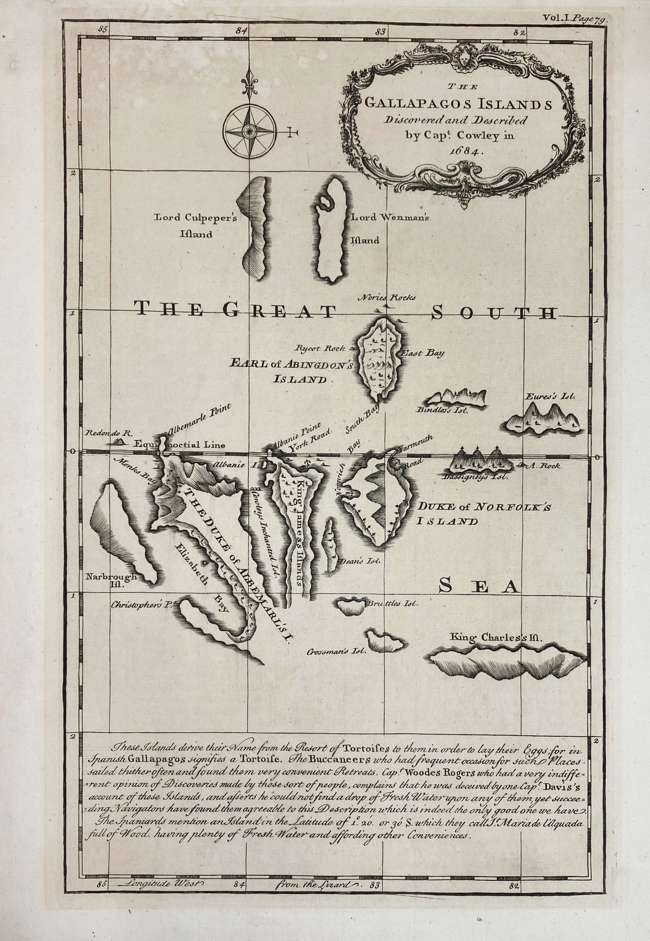
SOUTH AMERICA -- GALAPAGOS -- "THE GALLAPAGOS ISLANDS. Discovered and described by capt. Cowley in 1684". (Lond., 1744). Plain engr. map by E. Bowen. 320 x 200 mm. (Paper sl. browned/previous framing visible).
One of the few early maps to focus solely on the Galapagos Islands. From Harris's 'Navigantium atque itinerantium bibliotheca or, a complete collection of voyages and travel'.€ 120
uitslag € 130
Terug
