Kavel 1000
1000
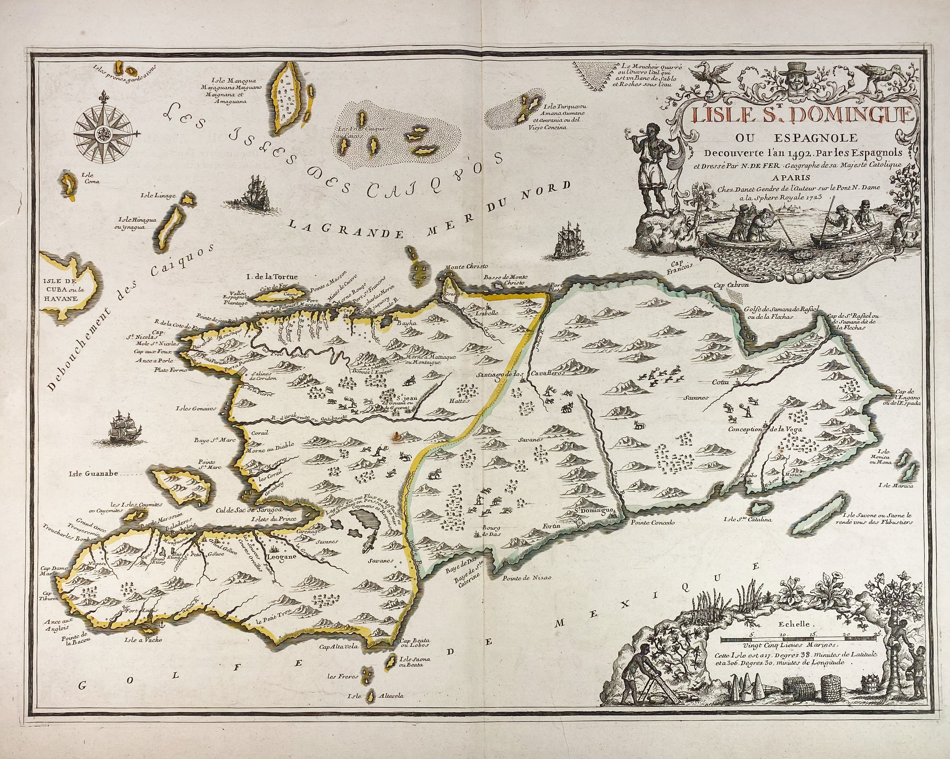
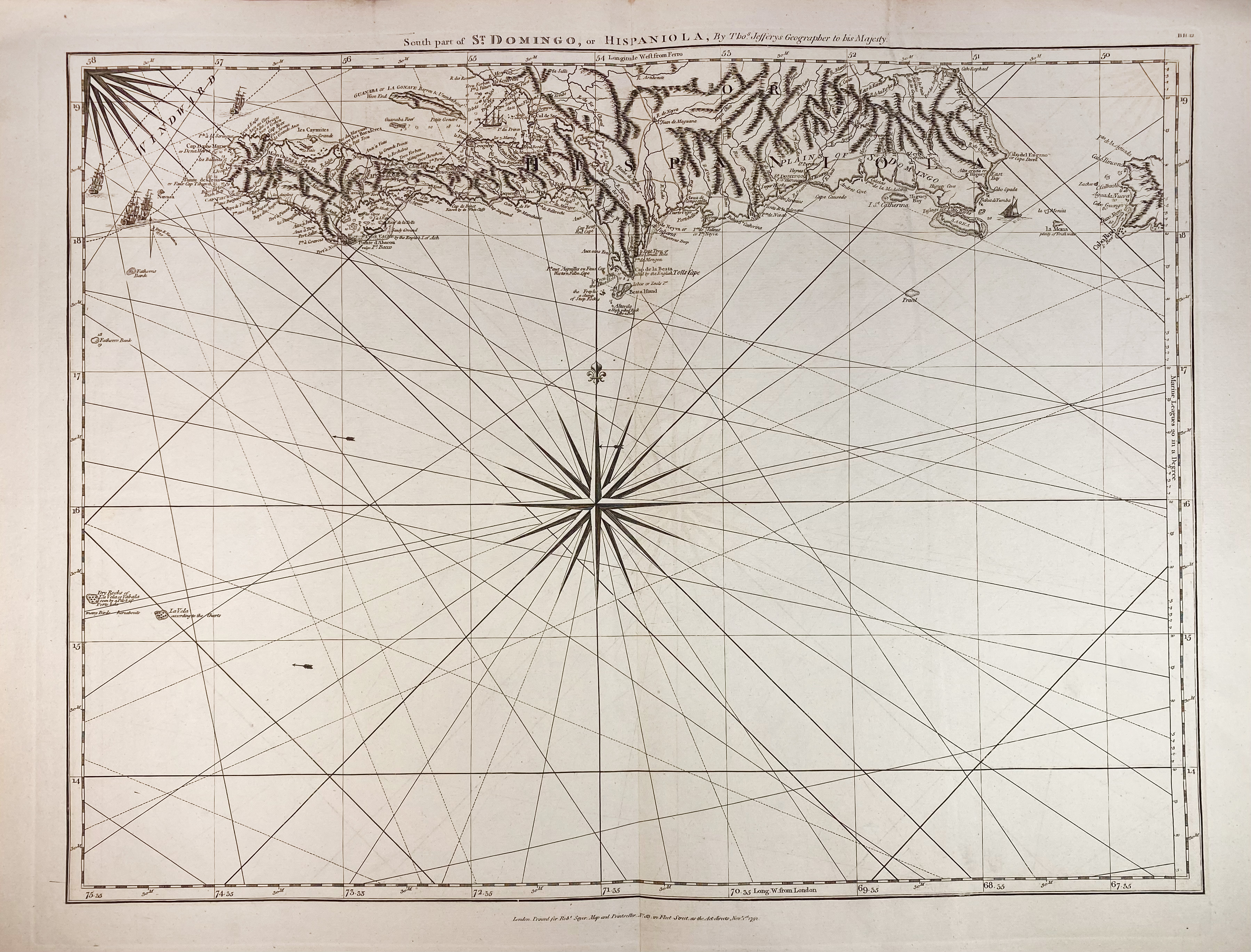
SOUTH AMERICA -- CARIBBEAN -- "L'ISLE ST. DOMINGUE OU ESPAGNOLE decouverte l'an 1492 (…) par les Espagnols." Paris, Danet, 1723. Engr. map by N. de Fer, cont. col. in outlines. 440 x 600 mm. (Tear in left margin, does not run into image, tiny split in middle fold, slight yellowing at the edges, but a very good copy). -- "SOUTH PART of St. Domingo, or Hispaniola". Lond., 1792. Plain engr. chart by Th. Jefferys. 500 x 640 mm. -- (2).
€ 200
uitslag € 220
Terug