Kavel 558
558
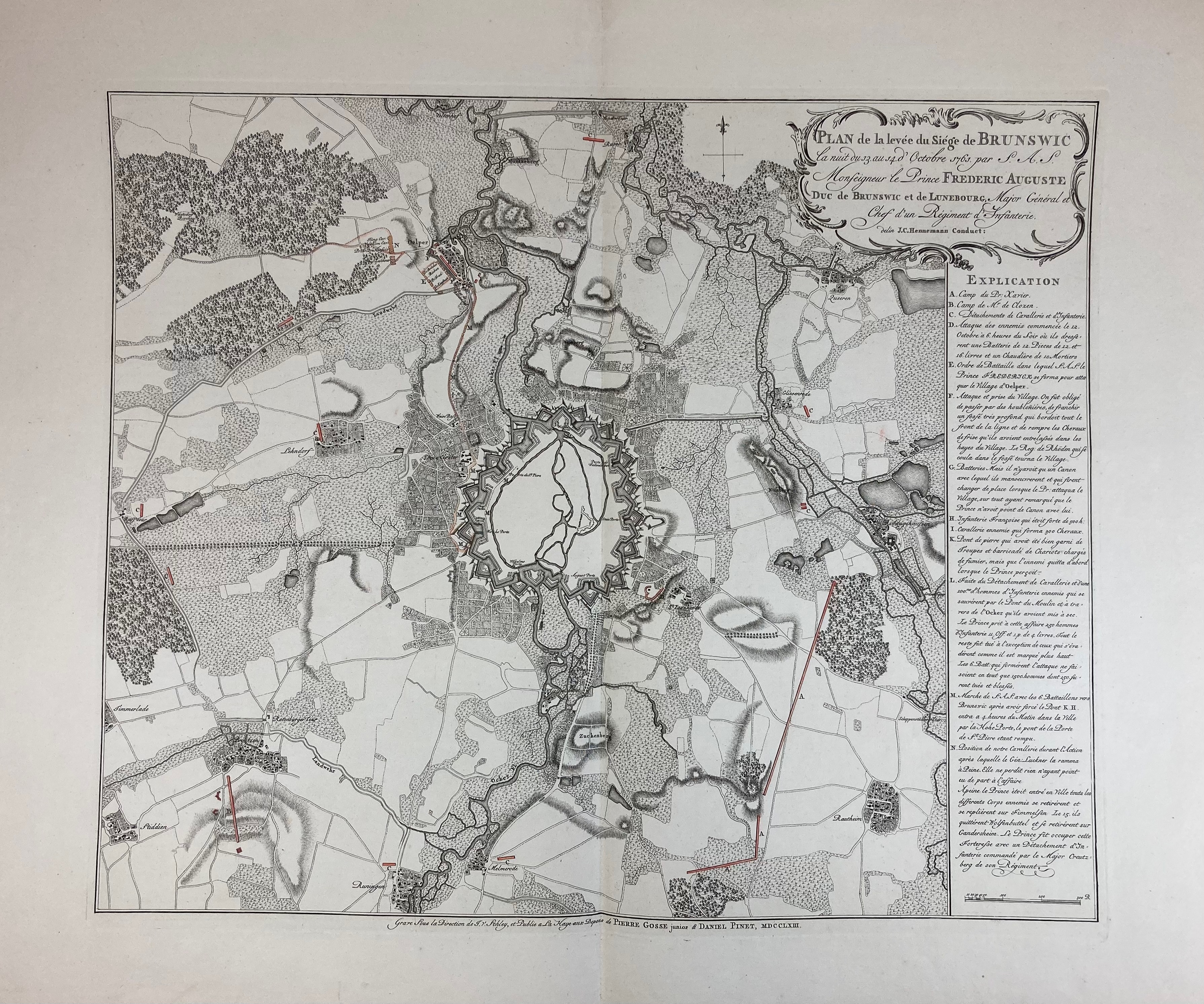
GERMANY -- "PLAN DE LA LEVÉE DU SIÈGE DE BRUNSWIC la nuit du 13. au 14. d’Octobre 1761 par (…) Frederic Auguste Duc de Brunswic et de Lunebourg, (…)". The Hague, P. Gosse jr. & D. Pinet, 1763. Very fine engr. plan w. some sparse colouring by J. v. Schley after J.C. Hennemann. 495 x 590 mm. -- And 1 o. (2).
Rare and decorative map of the besieged town of Brunswick and its immediate environs during the Seven Years War, showing, in red, the march route taken by Frederick Augustus from the village of Oelper to the gates of the city on 14 October 1761.€ 300
uitslag € 0
Terug
