Kavel 555
555
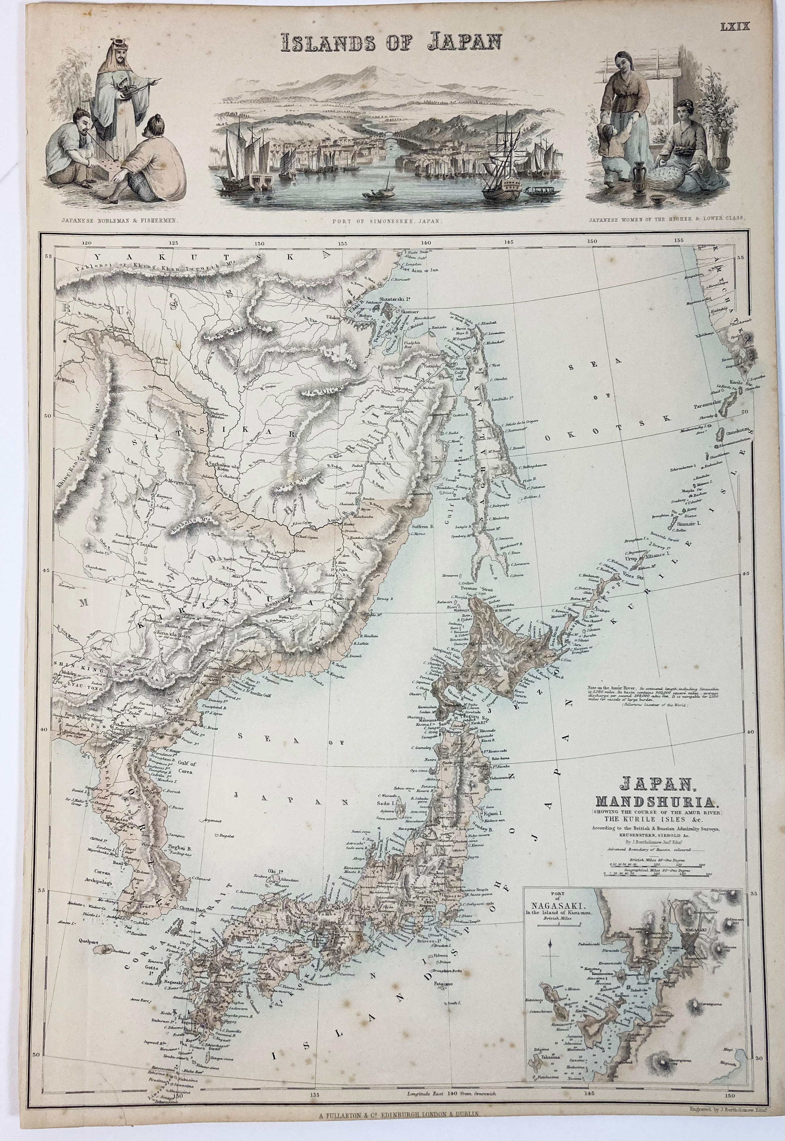
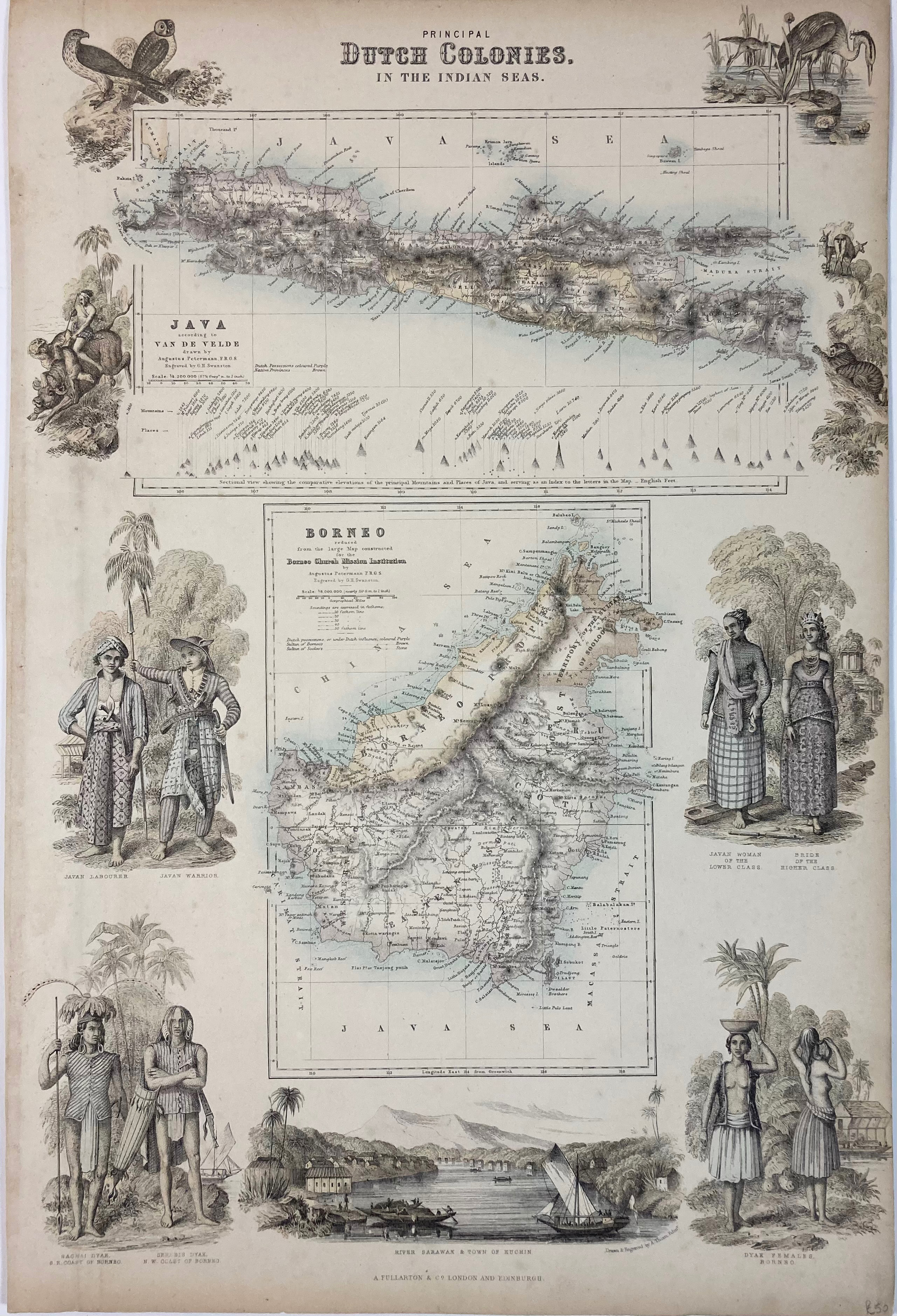
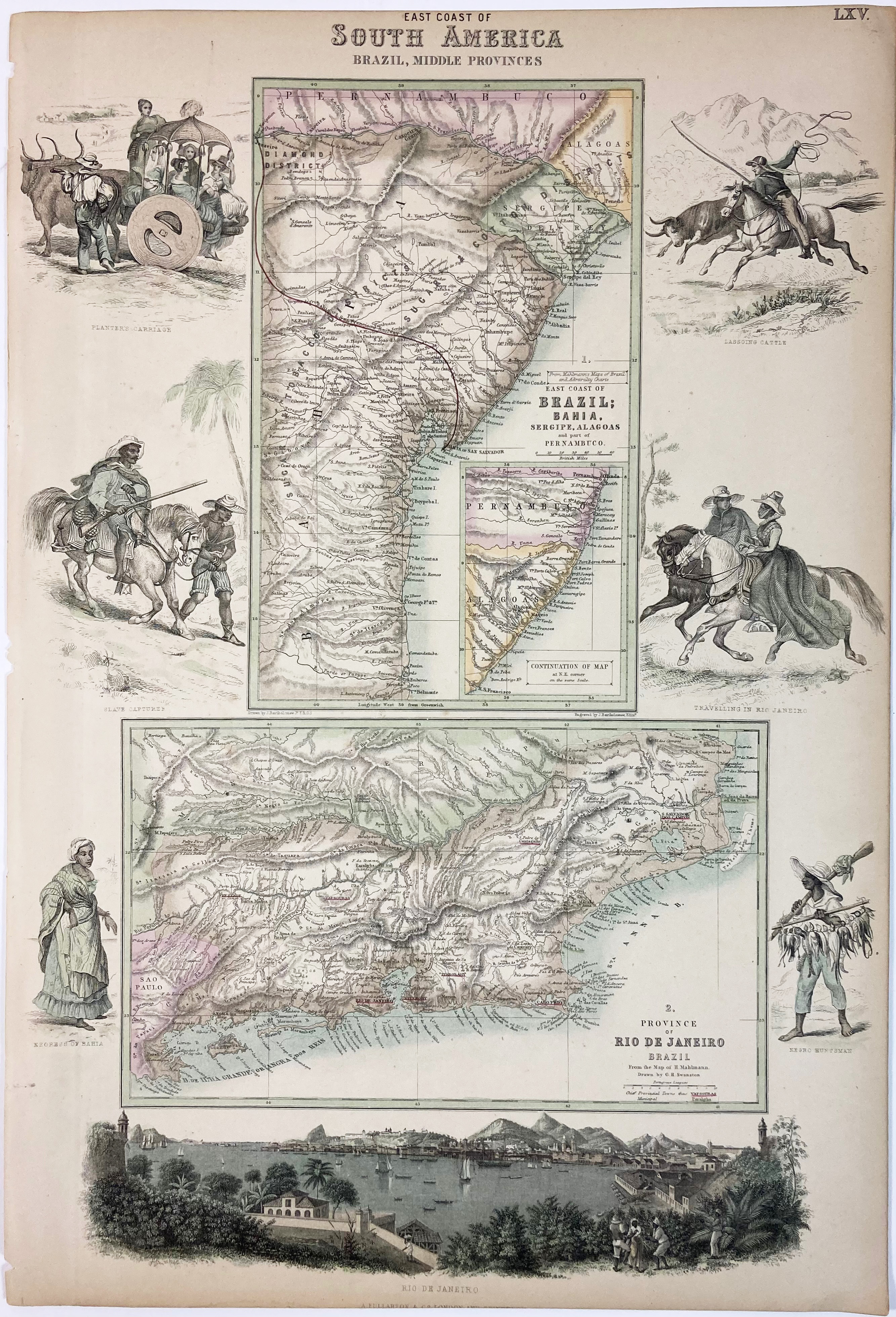
FULLARTON -- COLLECTION of 7 maps from 'The Royal Illustrated Atlas Of Modern Geopgraphy': "Islands of Japan" - "Principal Dutch Colonies in the Indian Seas" - "West Coast of South America including Chili & Part of Bolivia & Peru" (=2x) - "East Coast of South America, Brazil, Middle Provinces" - "Northern Ports & Harbours in the United States" - "Turkey". London, (etc.), A. Fullarton & Co., (1860's). 7 cold. steel-engr. plates (1 duplicate!), representing maps surrounded by fine images of inhabitants. Sheet size 475 x 325 mm. (Slightly age-toned and very mildly spotted).
€ 300
uitslag € 240
Terug