Kavel 550
550
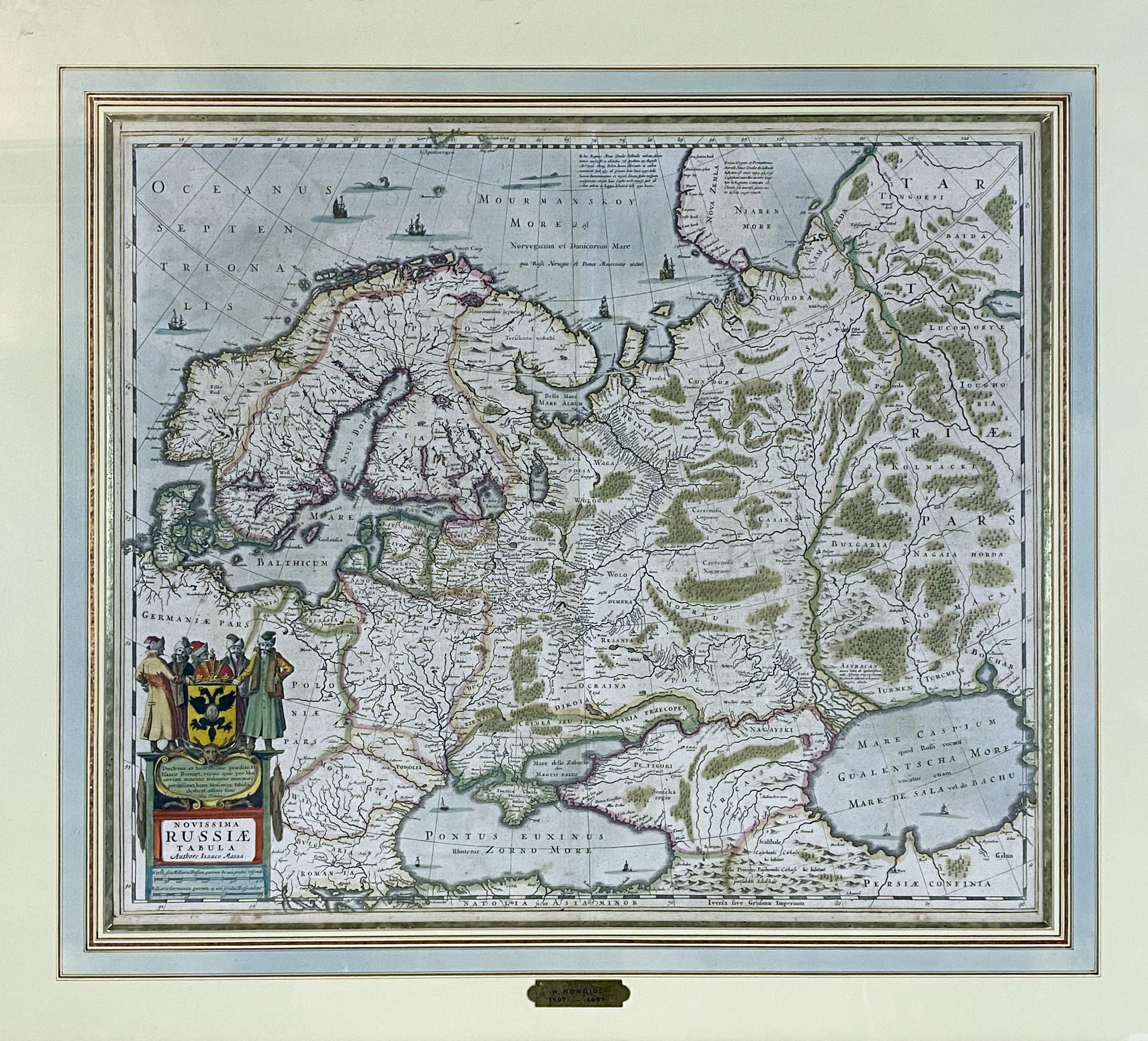
EASTERN EUROPE -- RUSSIA -- "NOVISSIMA RUSSIÆ TABULA". (Amst.?, H. Hondius, 1633). Engr. map in cont. colouring by I. Massa. 470 x 560 mm. Framed, glazed and under passepartout. (Closed tear at bottom centerfold, sl. discold. in places, a few foxing spots & some light browning, uninspected out of frame).
Decorative example of the Mercator-Hondius map of the Russian Empire and Scandinavia. - Van der Krogt I, 1800:1B.1.€ 300
uitslag € 260
Terug