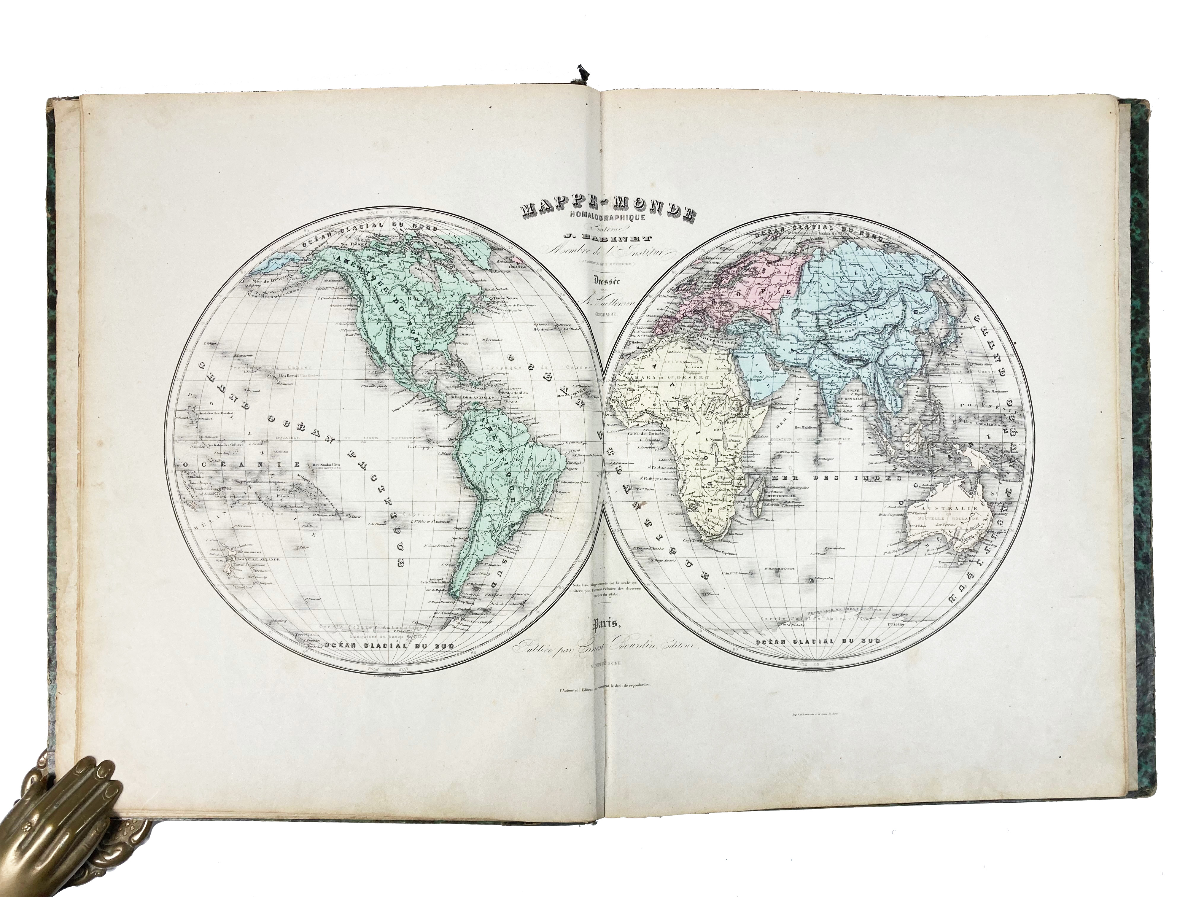
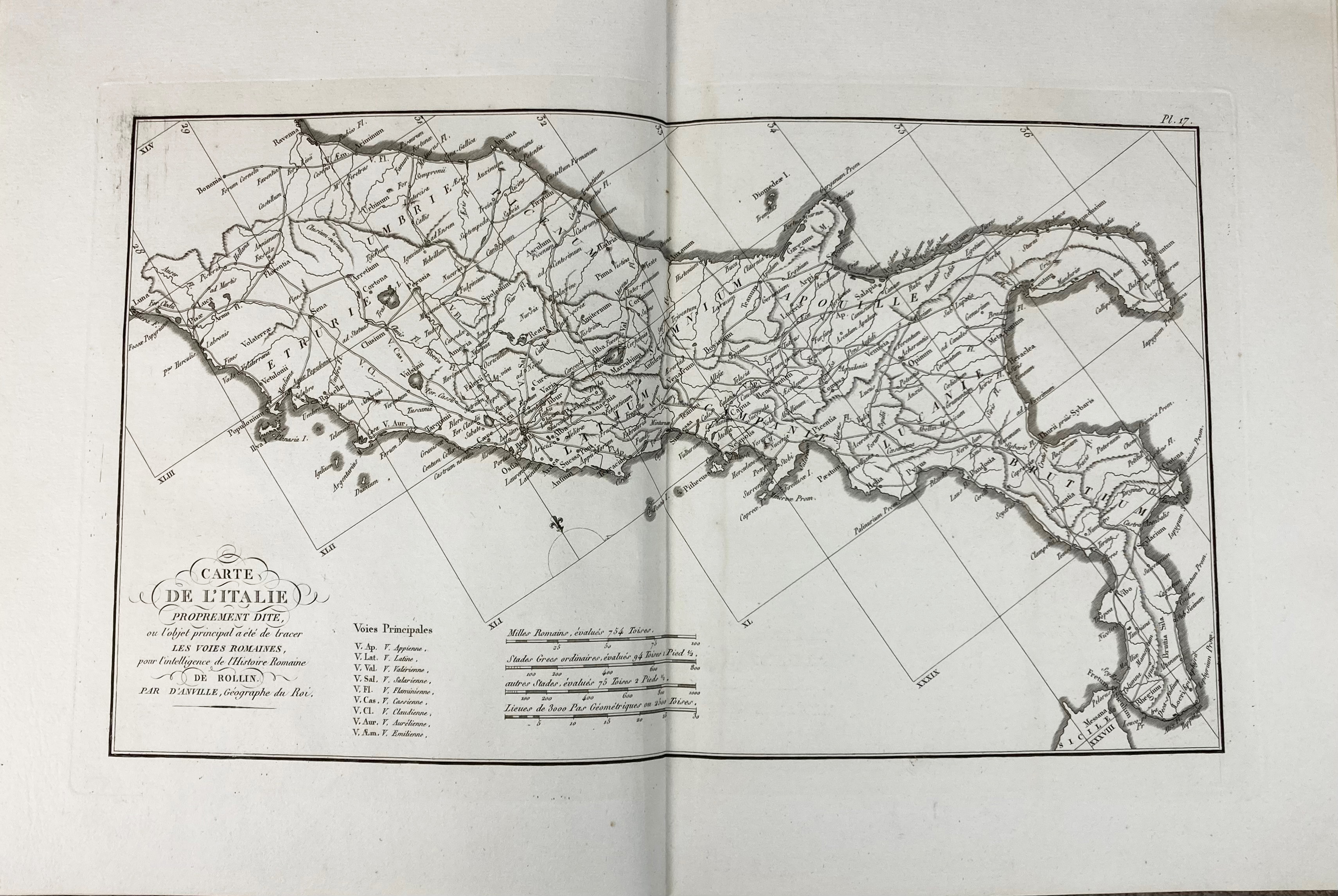
(TARDIEU, A.) Atlas de géographie ancienne pour (…) oeuvres de Rollin gravé d'apres les cartes originales de D'Anville. Paris, Ledoux & Tenré, 1818. W. 27 maps. Cont. hcf. (Maps remarkably crisp & clean). -- L. DUSSIEUX. Atlas général de géographie physique, politique et historique. Paris, Lecoffre, (1860?). W. 157 maps, partly cold. in outlines (1 fold. map, clumsily repaired). Cont. hcf. -- J. BABINET. Atlas universel de géographie physique, politique et historique. Paris, Bourdin, (1860?). W. 60 cold. maps. Cont. hcl. (Back side detached, upper hinge weak, some yellowing, several maps flanked by extensive annot. in ink & pencil). Executed according to homalographic projection. -- LORRAIN. Carte de la Hollande par provinces. Dressée d'après la carte de Kraijenhoff. Rev. p. H. Reding. (Par.), Binet, (1840). W. engr. ti. & 11(1 lge-fold.) engr. maps, cold. in outlines. -- C.V. MONIN & A.R. FRÉMIN. Atlas universel de géographie ancienne et moderne. Par., Binet, (c. 1840). W. engr. ti. & 49 engr. maps, cold. in outlines. -- And 4 o. atlasses published in Paris. (8).
€ 300
uitslag € 500
Terug