Kavel 434
434
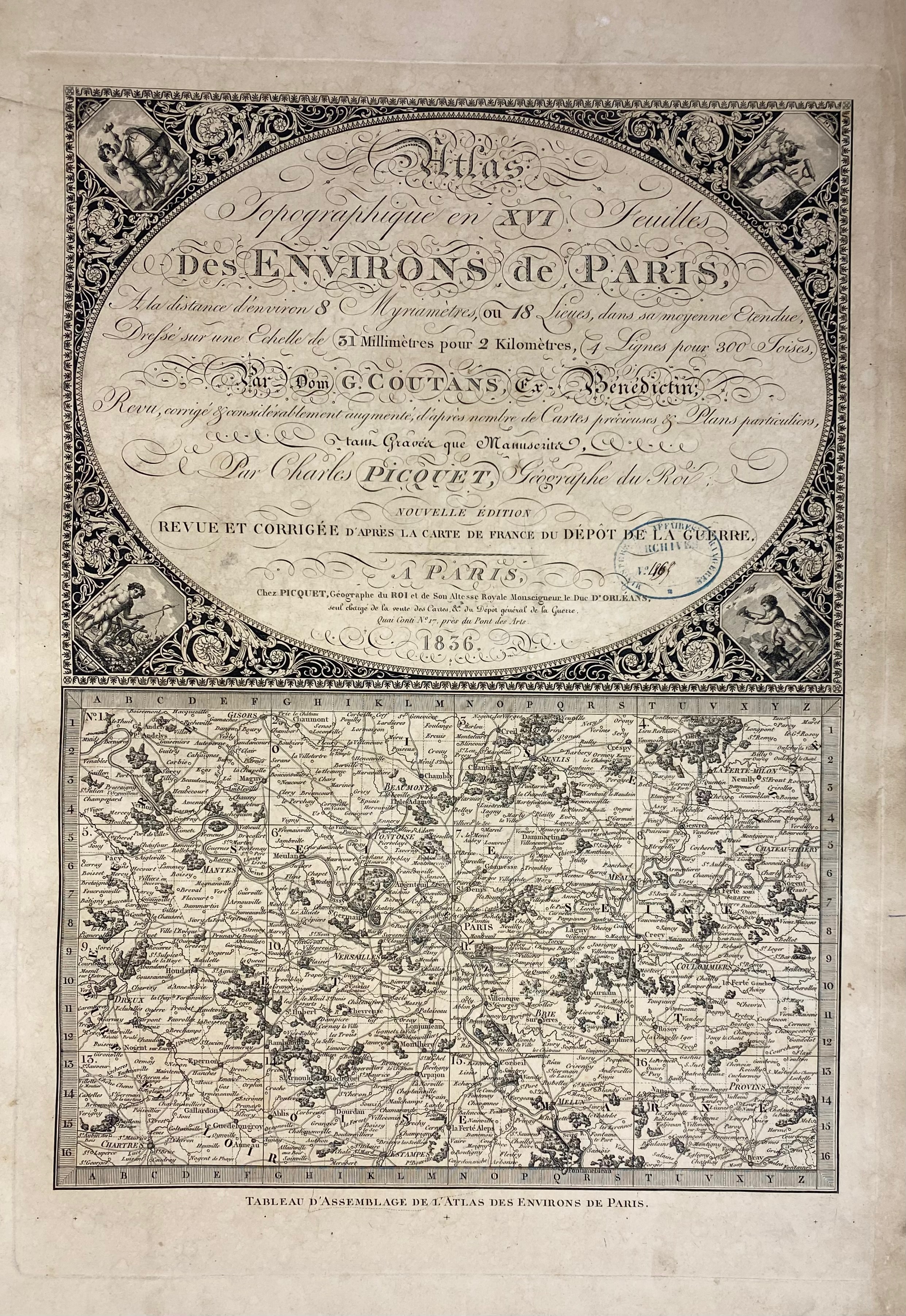
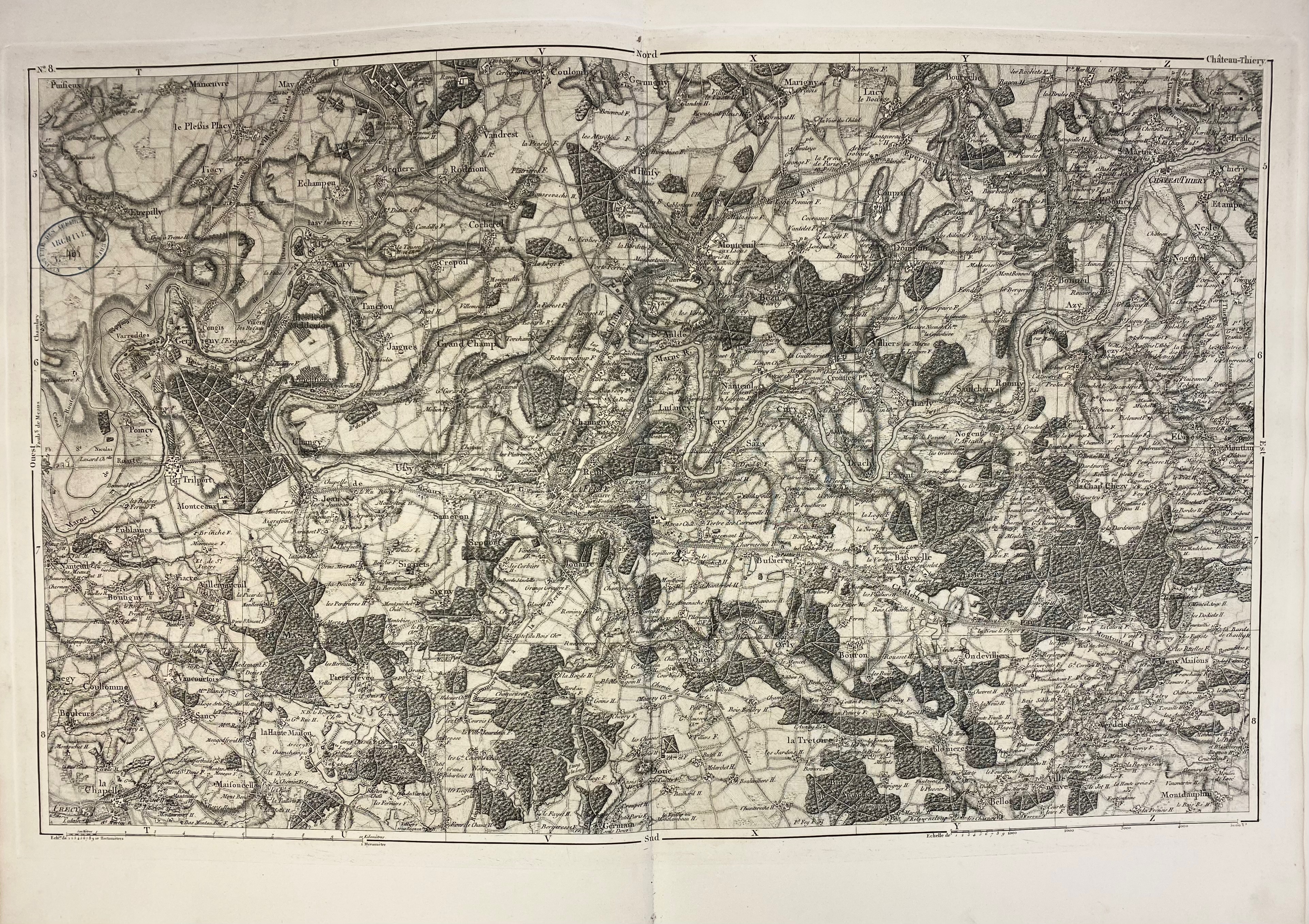
COUTANS, G. & Ch. PICQUET. Atlas topographique en XVI feuilles des Environs de Paris. Par., Picquet 1836. W. 'Tableau d'assemblage' (ti. & map) & 16 double-p. maps. Lge-fol. Mod. hcl. (W. small stamp on each map, a few rep., a bit browned/foxed).
Very detailed maps of the surroundings of Paris, they cover the regions of Gisors, Beaumont, Senlis, La Ferté Milon, Mantes, Pontoise, Meaux, Château-Thierry, Dreux, Versailles, Brie sur Yerres, Coulommiers, Chartres, Etampes, Melun & Provins.€ 200
uitslag € 160
Terug