Kavel 1085
1085
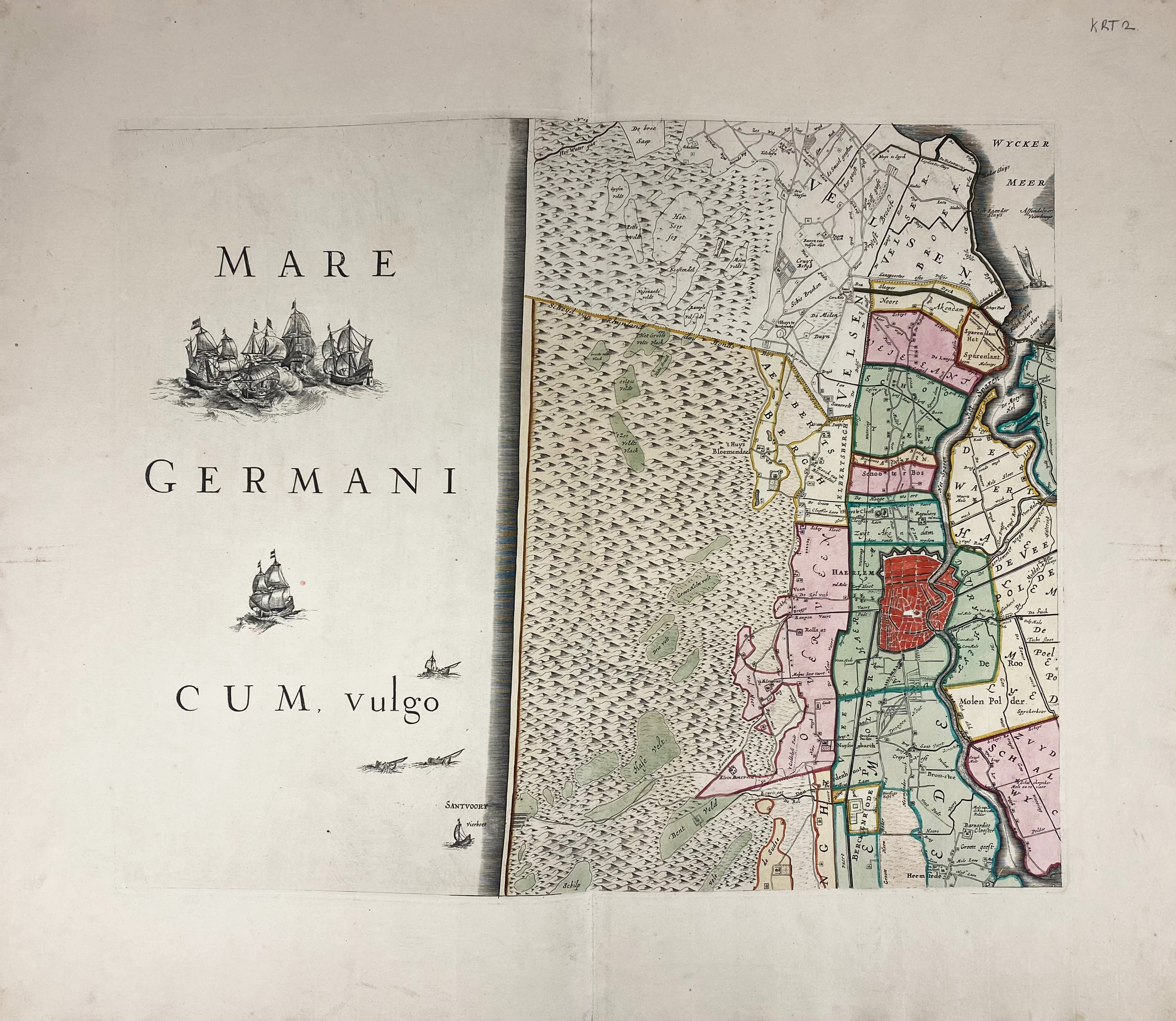
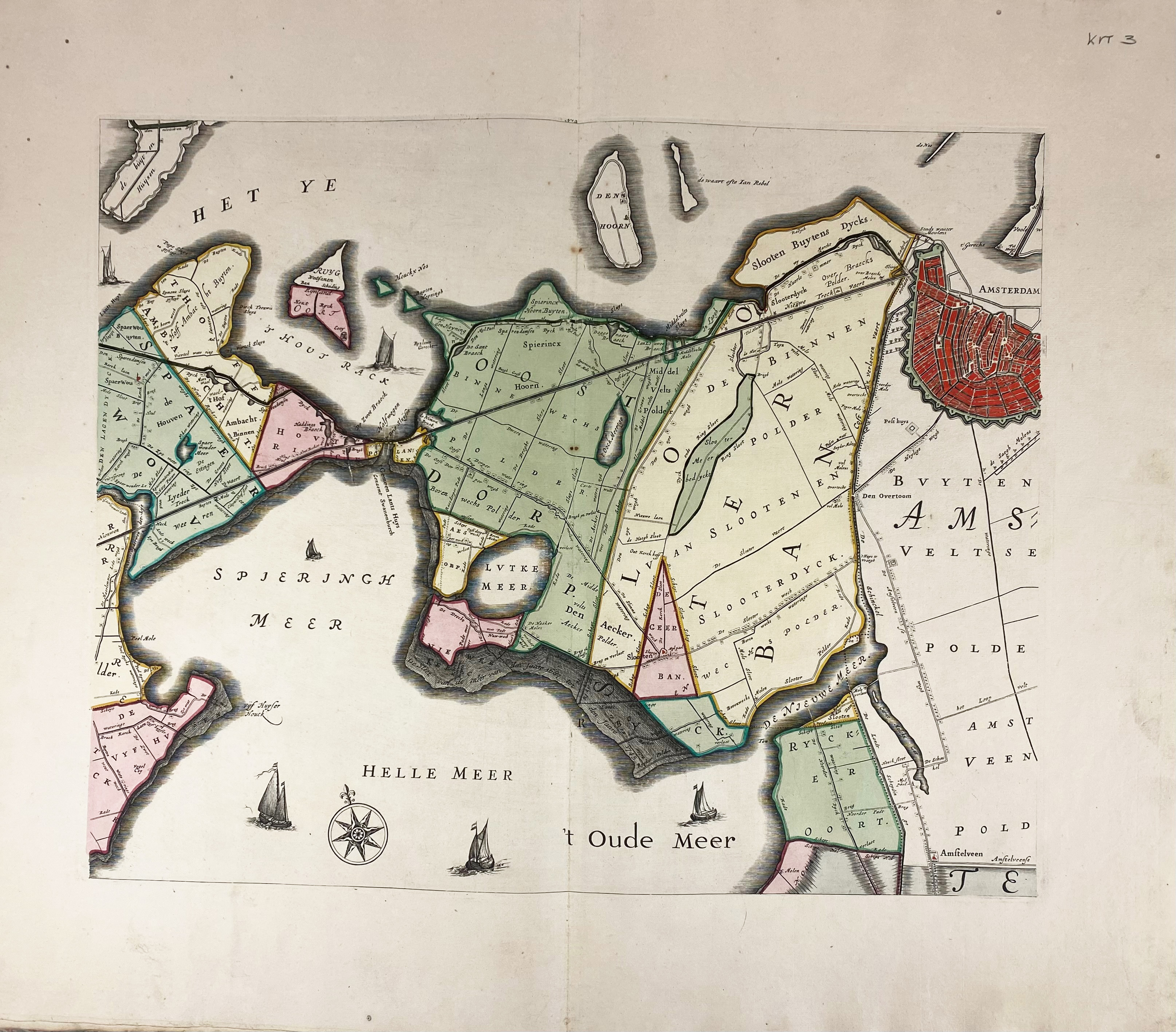
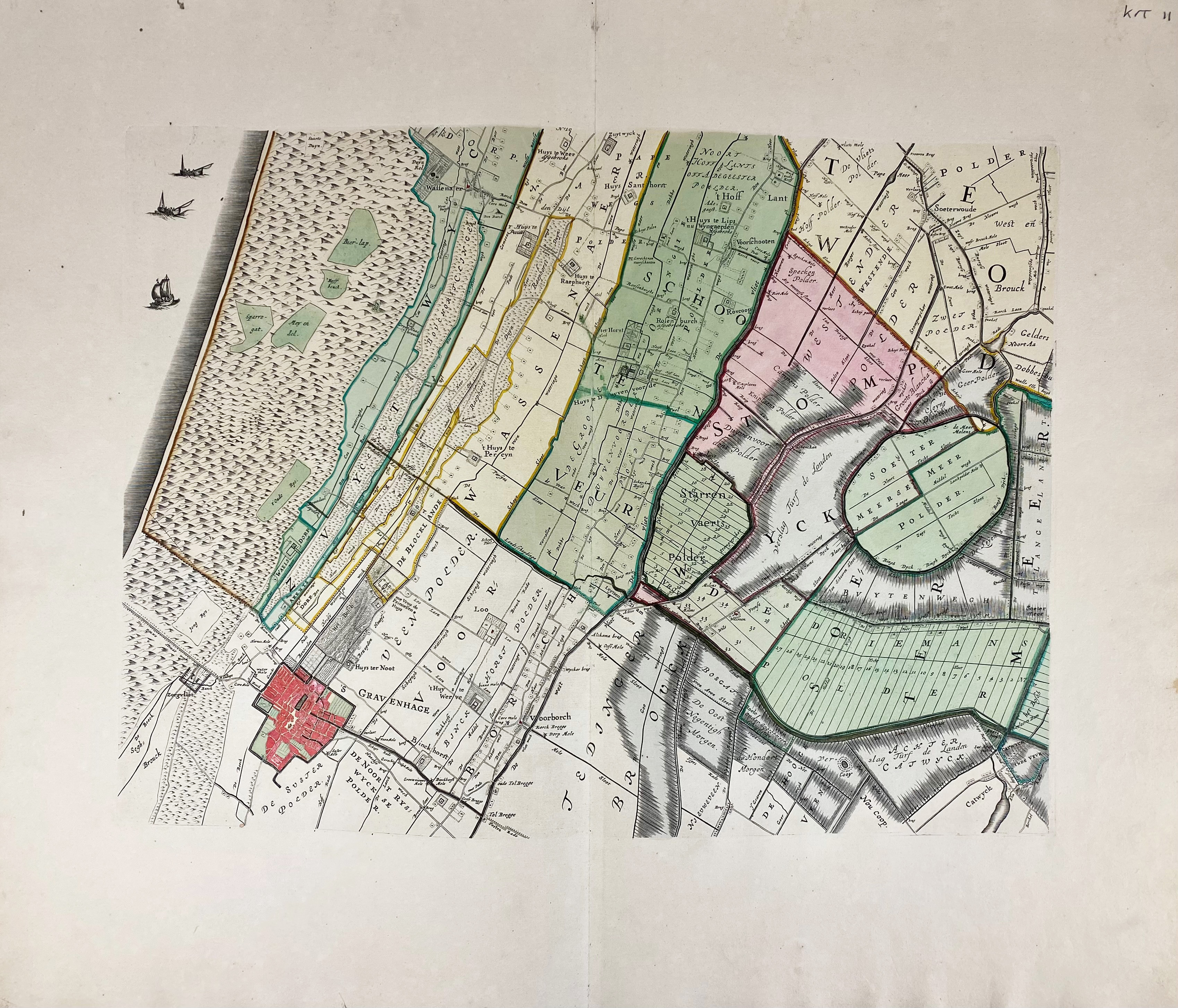
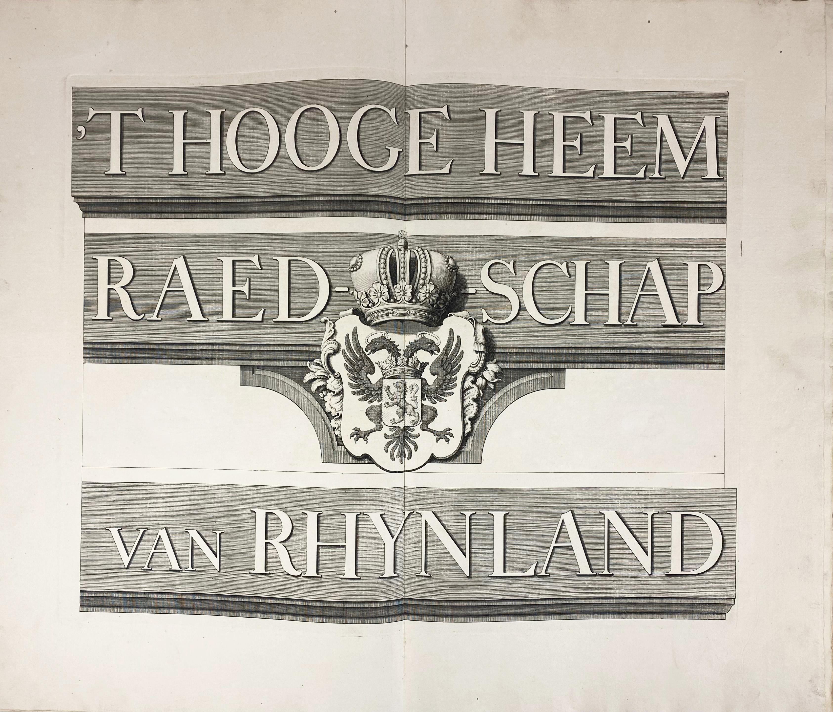
RIJNLAND -- (DOU, J.J. & S. v. BROECKHUYSEN). 't Hooge Heemraedschap van Rhynland. ((...) vernieuwd, geamplieerd en gecorrigeerd (d. M. Bolstra)). (Amst., I. Tirion, 1746). W. engr. title on 1 double leaf, 12 engr. maps on double leaves (tog. forming a wall-map of c. 186 x 168 cm), & 1 engr. w. projected sluices near Katwijk on 1 double leaf, all (except engr. title) in fine cont. colouring. Lge-fol. Cont. h. goatskin. (Spine partly dam., bind. rubbed/chafed, without the extra map of the Haarlemmermeer, which is normally added to this edition, else in a good, clean and uncut condition).
Third, corrected edition of this fine, coloured and detailed polder atlas of Rijnland in outstanding condition. The maps were engraved by David Coster after Melchior Bolstra's revision and augmentation of the second edition of 1687/88. The last plate represents the 'Concept sluijzen 1629' (representation of the sluices) near Katwijk. The maps can be assembled in such a manner that they form a large wall map. Donkersloot-De Vrij, 715 mentions the name of the publisher who can not be found on the maps themselves. She also states that the edition was limited to 650 copies only. - Koeman, Geschiedenis van de Kartografie van Nederland, p. 138.€ 2000
uitslag € 0
Terug