Kavel 676
676
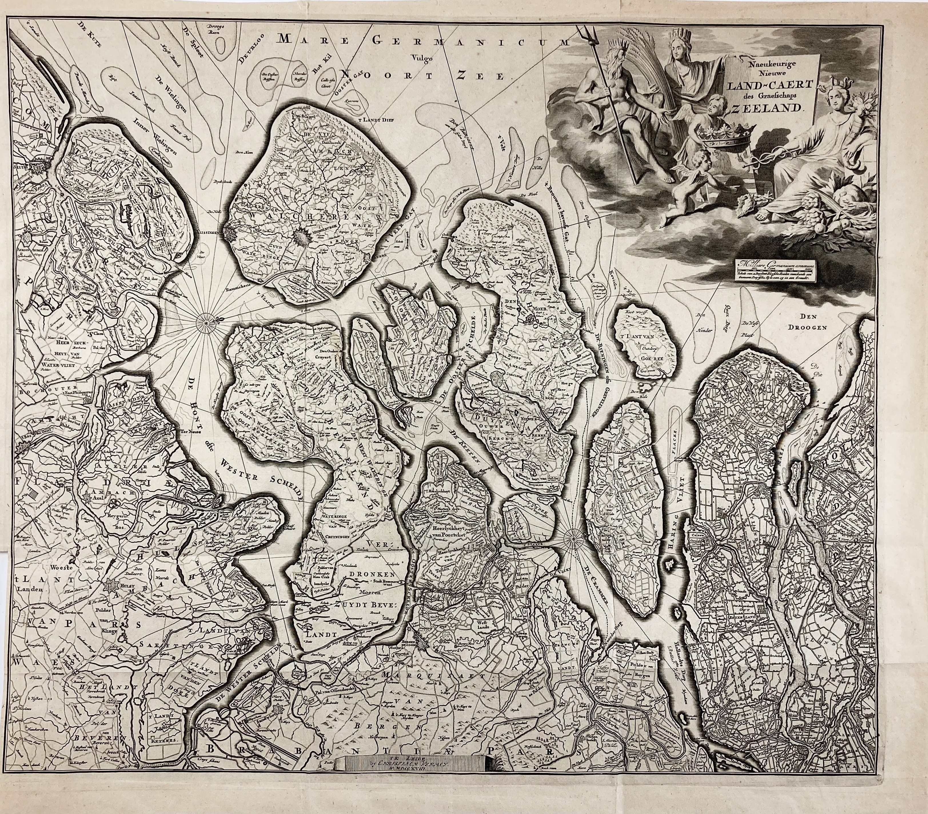
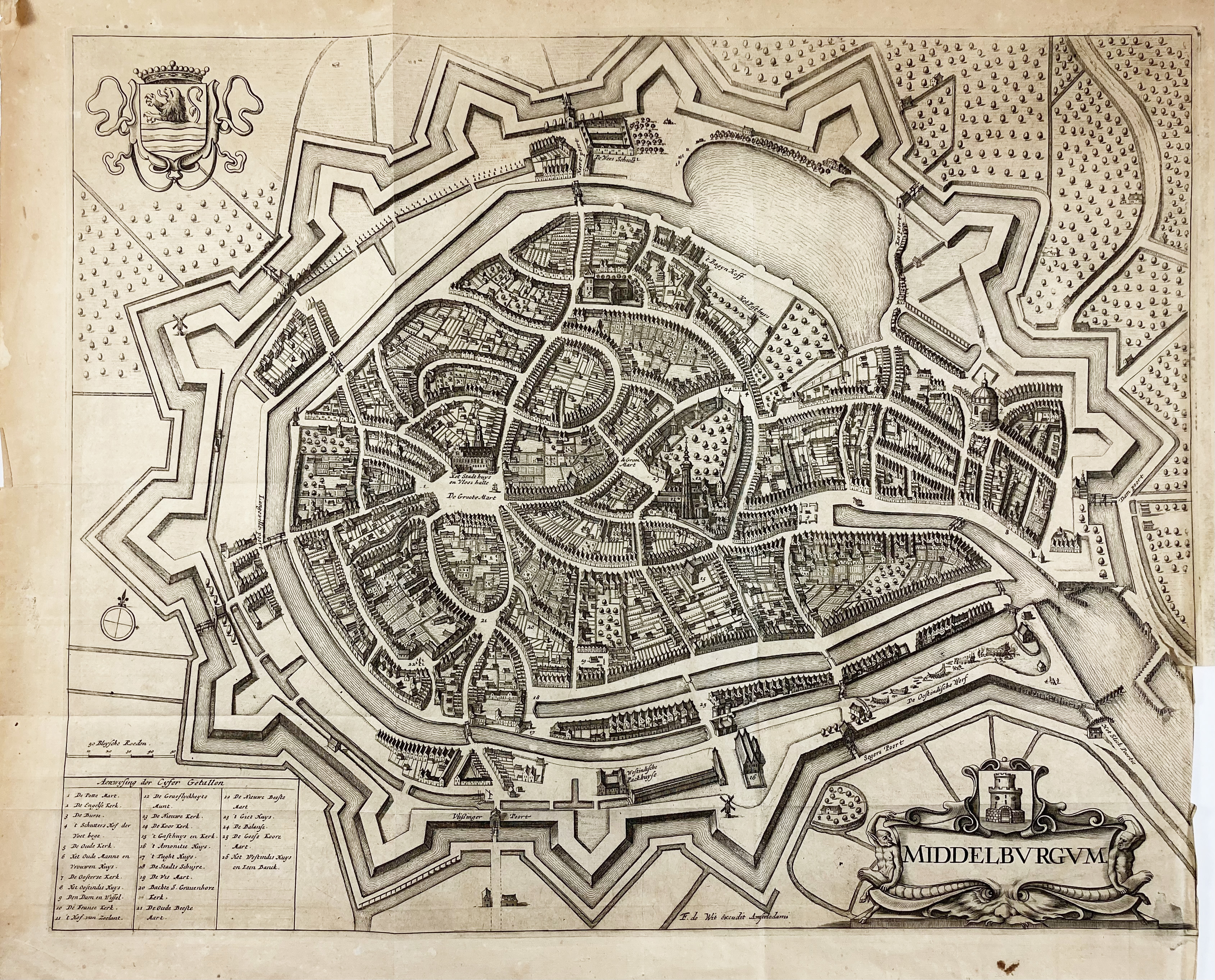
LOW COUNTRIES -- "NAEUKEURIGE NIEUWE LAND-CAERT des Graefschaps Zeeland". Leiden, Chr. Vermey, (1718). Engr. map of the province of Zeeland. 455 x 535 mm. 2nd state. -- Added: "MIDDELBURGHUM". Amst., F. de Wit, (1698). Engr. plan of the city. 420 x 530 mm. (Lower outer right corner w. small tear running into image and partly trimmed to plate edge). Fine plan w. lots of details. -- And 2 o. w. relation to Zeeland, incl. a plan of Vlissingen. -- (4).
€ 150
uitslag € 130
Terug