Kavel 658
658
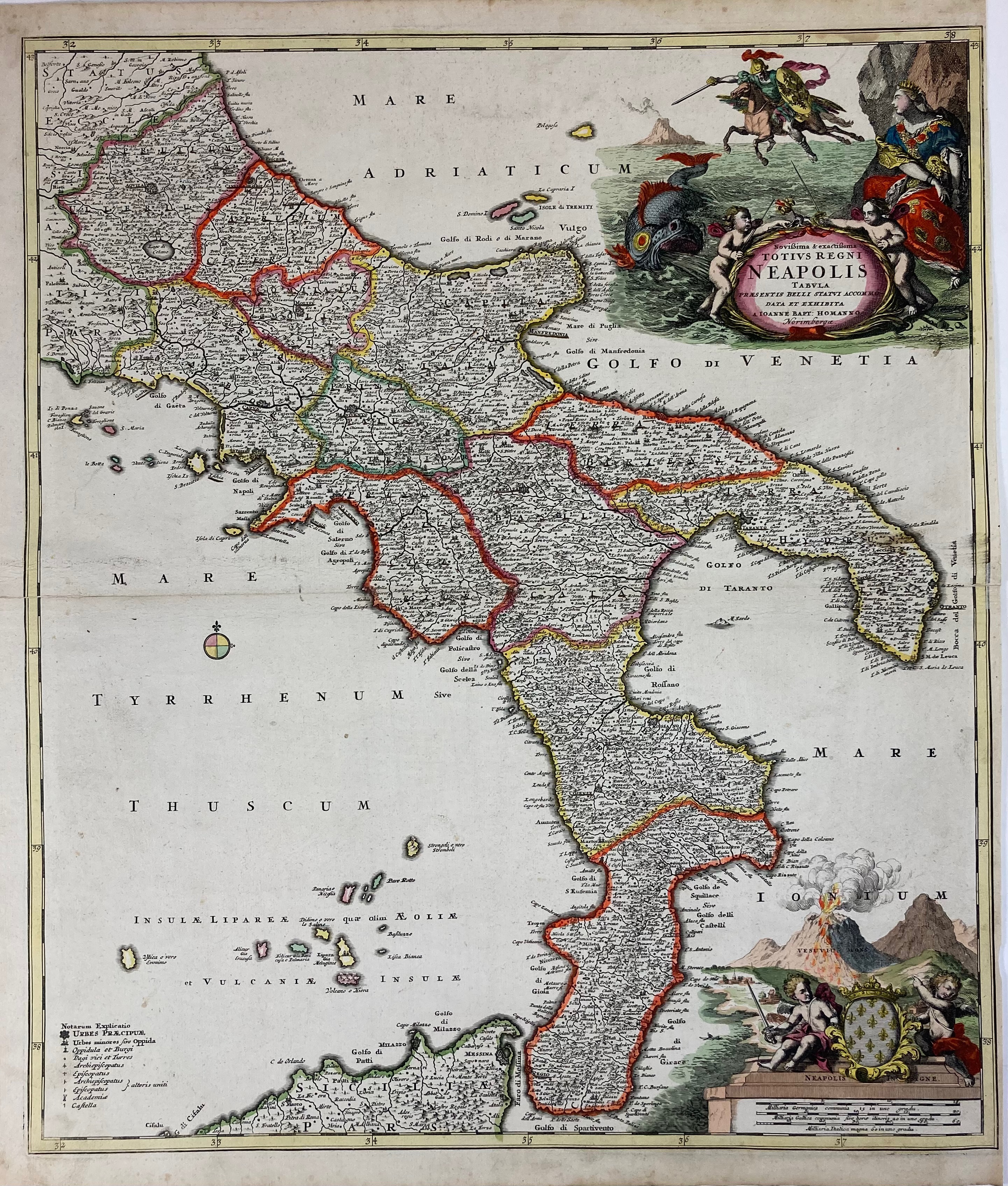
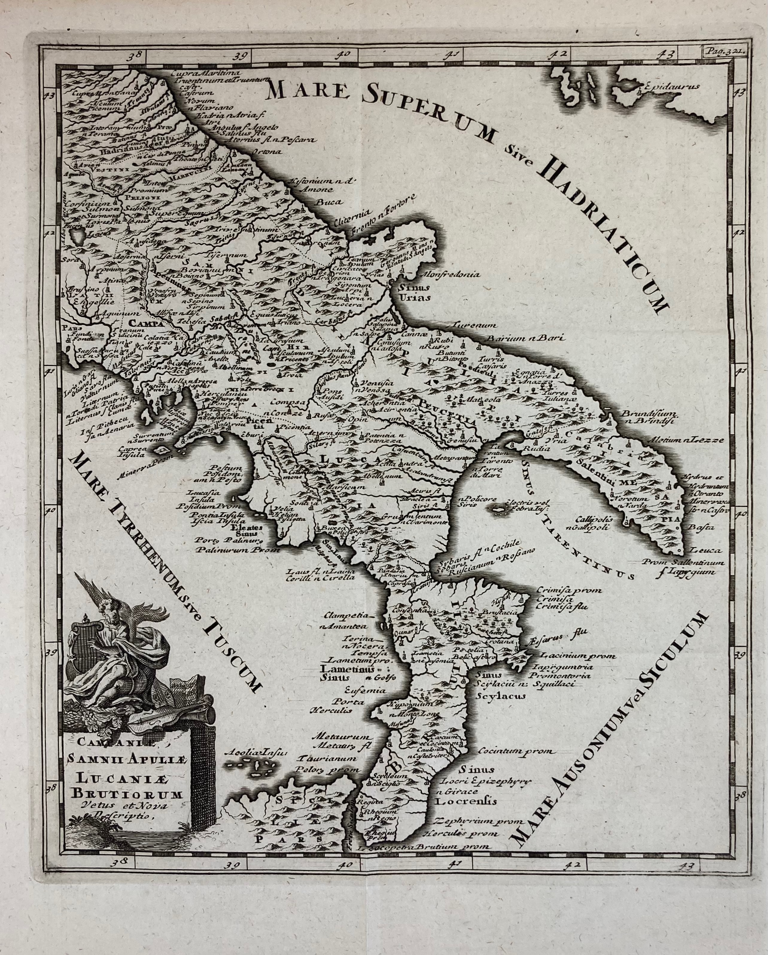
ITALY -- "NOVISSIMA & EXACTISSIMA Totius Regni Neapolis Tabula (…)". Nuremberg, J.B. Homann, n.d. (c. 1710). Engr. map in cont. colouring of the South of Italy w. a representation of the Vesuvius in the right lower corner, and a large cartouche in the upper right corner. 570 x 485 mm. -- Added: smaller map of the South of Italy in Antiquity by Philipp Cluver, 1729. 265 x 226 mm. -- (2).
€ 120
uitslag € 150
Terug