Kavel 620
620
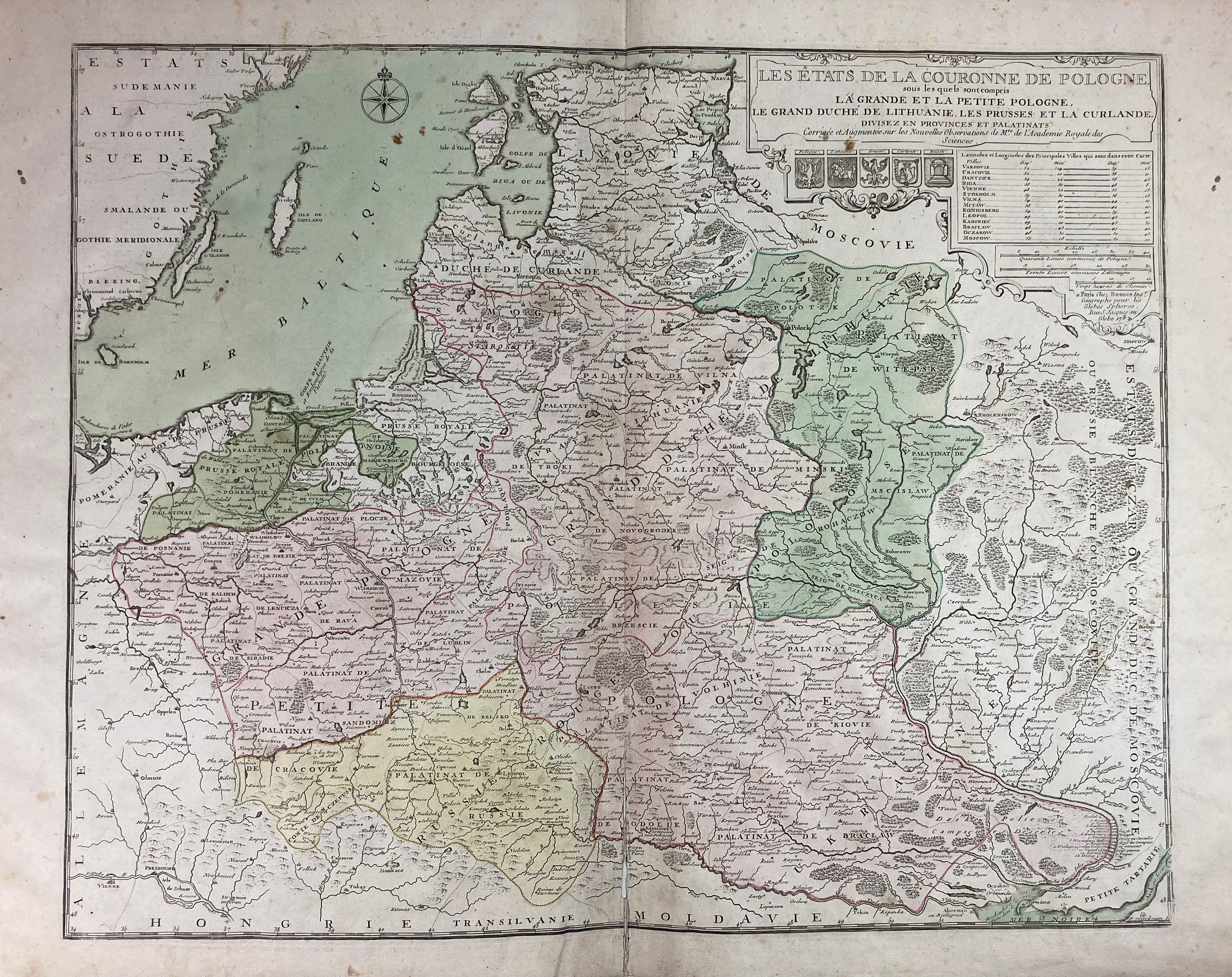
EASTERN EUROPE -- POLAND -- "LES ÉTATS DE LA COURONNE DE POLOGNE, sous les quels sont compris la Grand et la Petite Pologne, le Grand Duché de Lithuanie, les Prusses et la Curlande. Corr. et augm. (…)". Paris, Desnos, 1782. Engr. map by P. Starckman in cont. colouring. 475 x 590 mm. (Some foxing/small stains in places, lower 10 cm of central fold split and slightly dam., reinforced on v°).
Desnos edition of De Fer's map of Poland, first issued by De Fer and engraved by Starckman in 1716.€ 160
uitslag € 450
Terug