Kavel 477
477
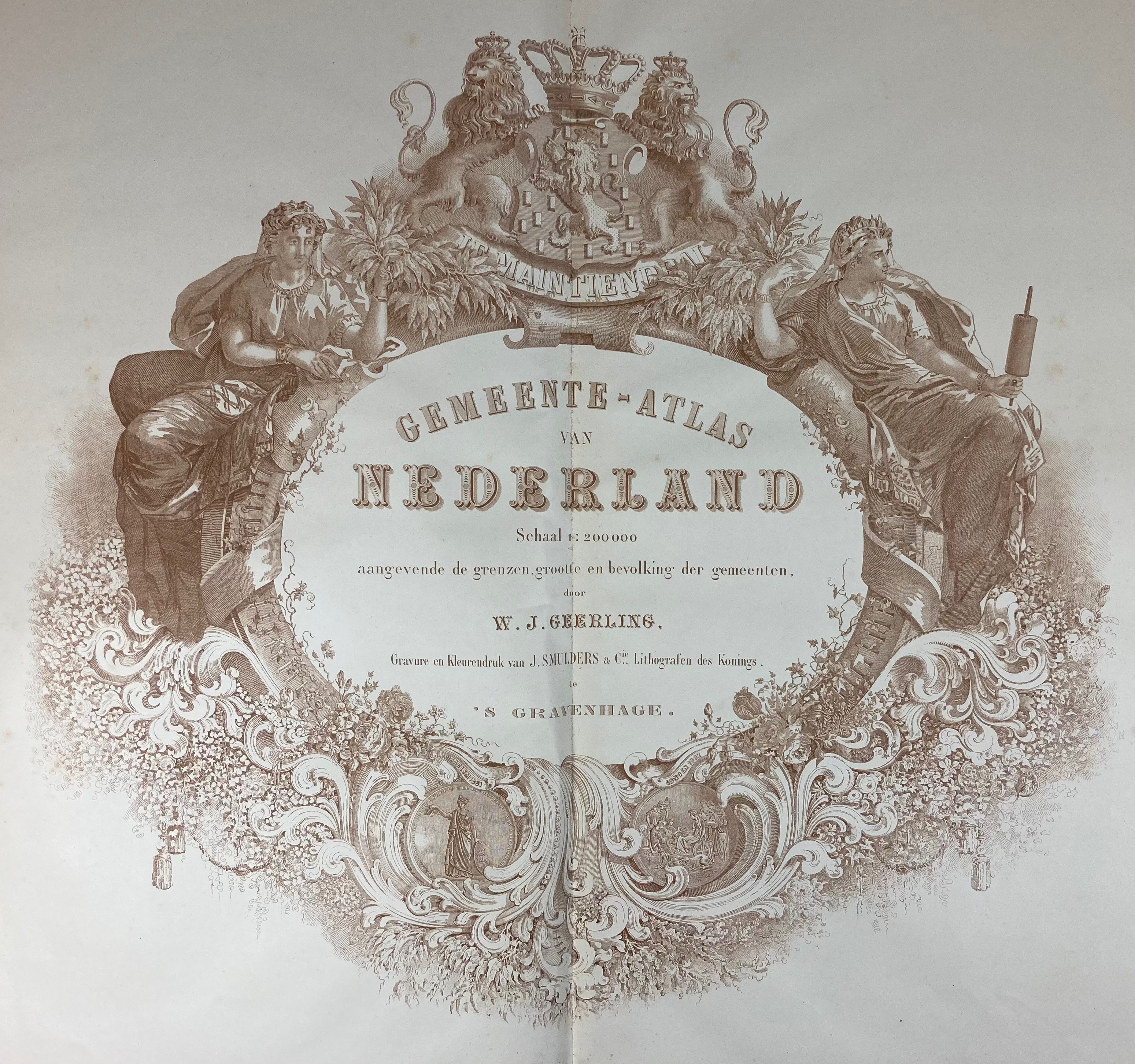
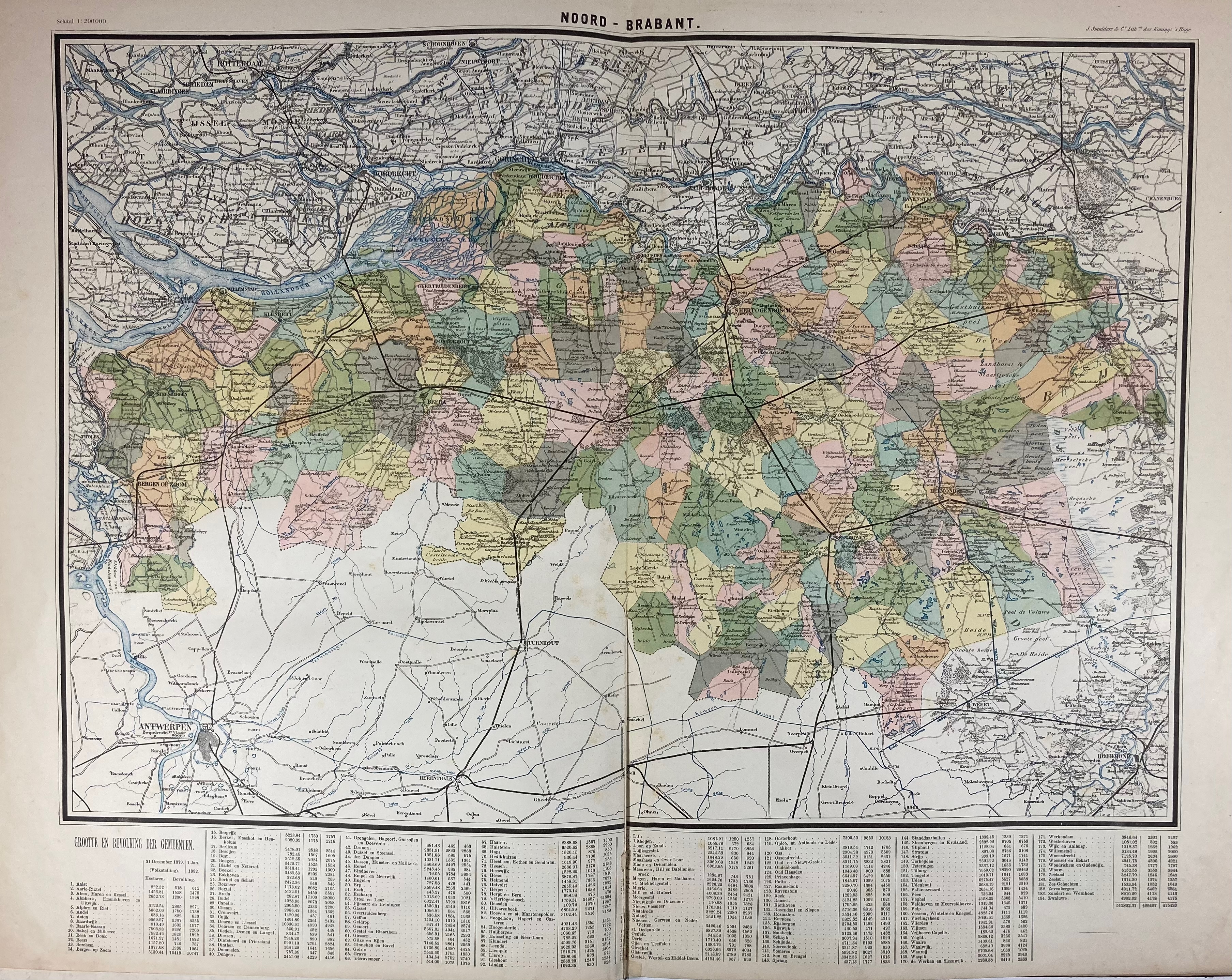
GEERLING, W.J. Gemeente-atlas van Nederland, schaal 1:200.000, aangevende de grenzen, grootte & bevolking der gemeenten. 's-Grav., J. Smulders & Cie, (± 1882). W. double-p. ti.-p. and 11 cold. maps on 9 double pp. Lge-fol. Cont. hcl. w. large red ti. label on front side. (Some small marginal rep. to maps in places, but in good condition).
Statistical data on population based on the years 1880 and 1882 at the foot of the maps. - Koeman VI, Geer A1.€ 150
uitslag € 160
Terug