Kavel 439

439
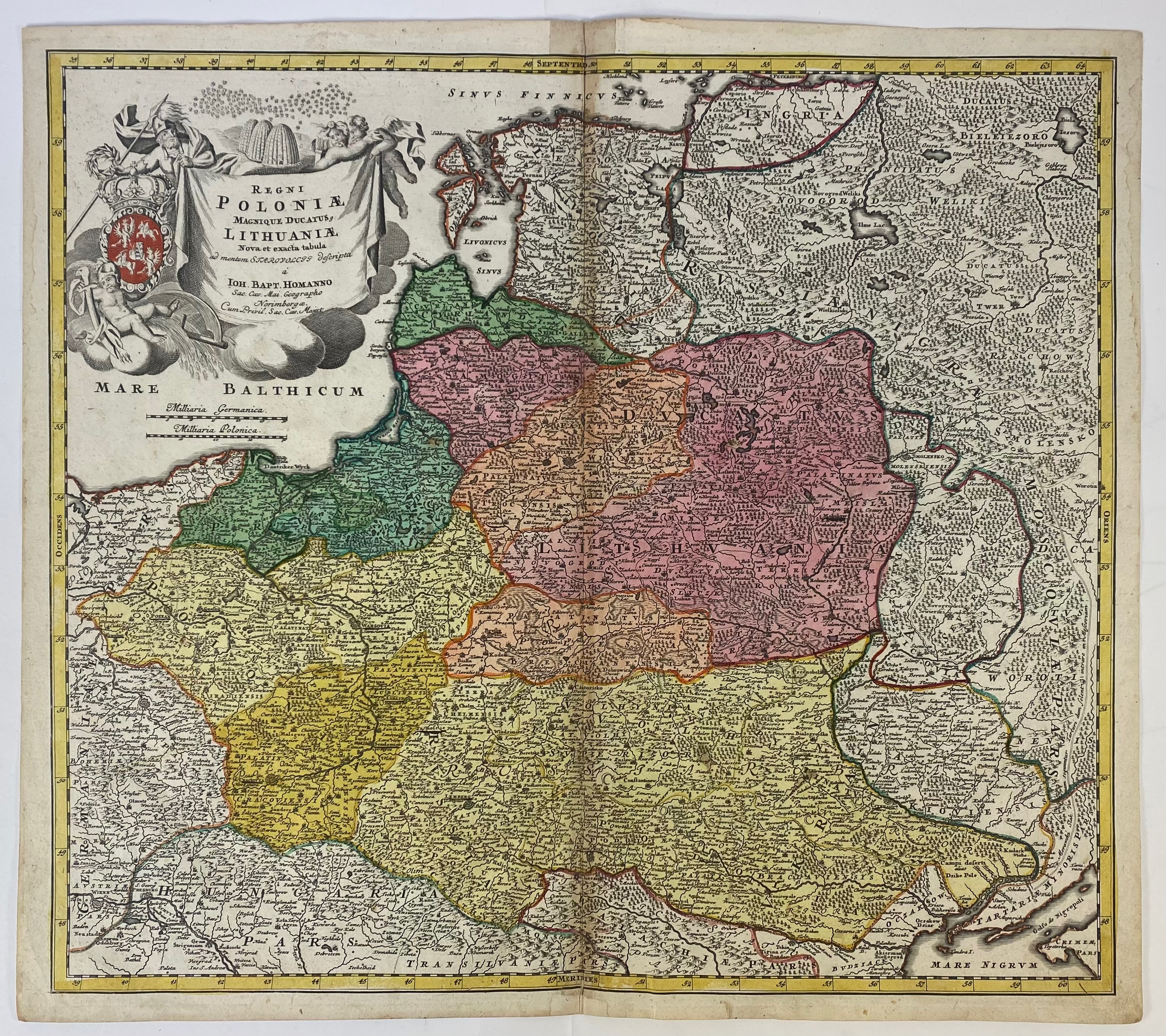
POLAND -- "REGNI POLONIÆ et Ducatus Lithuaniæ, Voliniæ, Podoliæ, Ucraniæ, Prussiæ, Livoniæ et Curlandiæ. Descriptio, emendata per Joannem de Ram". (Amst., 1685). Engr. map in cont. col., w. cartouche. 395 x 314 mm. v° blank. (Lower blank margin split/rep. on fold, fold strengthened on v°). -- "REGNI POLONIÆ magnique ducatus Lithuaniae nova et exacta tabula ad memtem Starovolcy descripta". Nuremberg, (1739). Engr. map by J.B. Homan in cont. col., w. large cartouche. 490 x 550 mm. v° blank. (Fold rep. on v° and in margin, margins a bit stained/soiled in a few places, fold a bit browned). -- (2).
€ 240
uitslag € 1700
Terug