Kavel 393
393
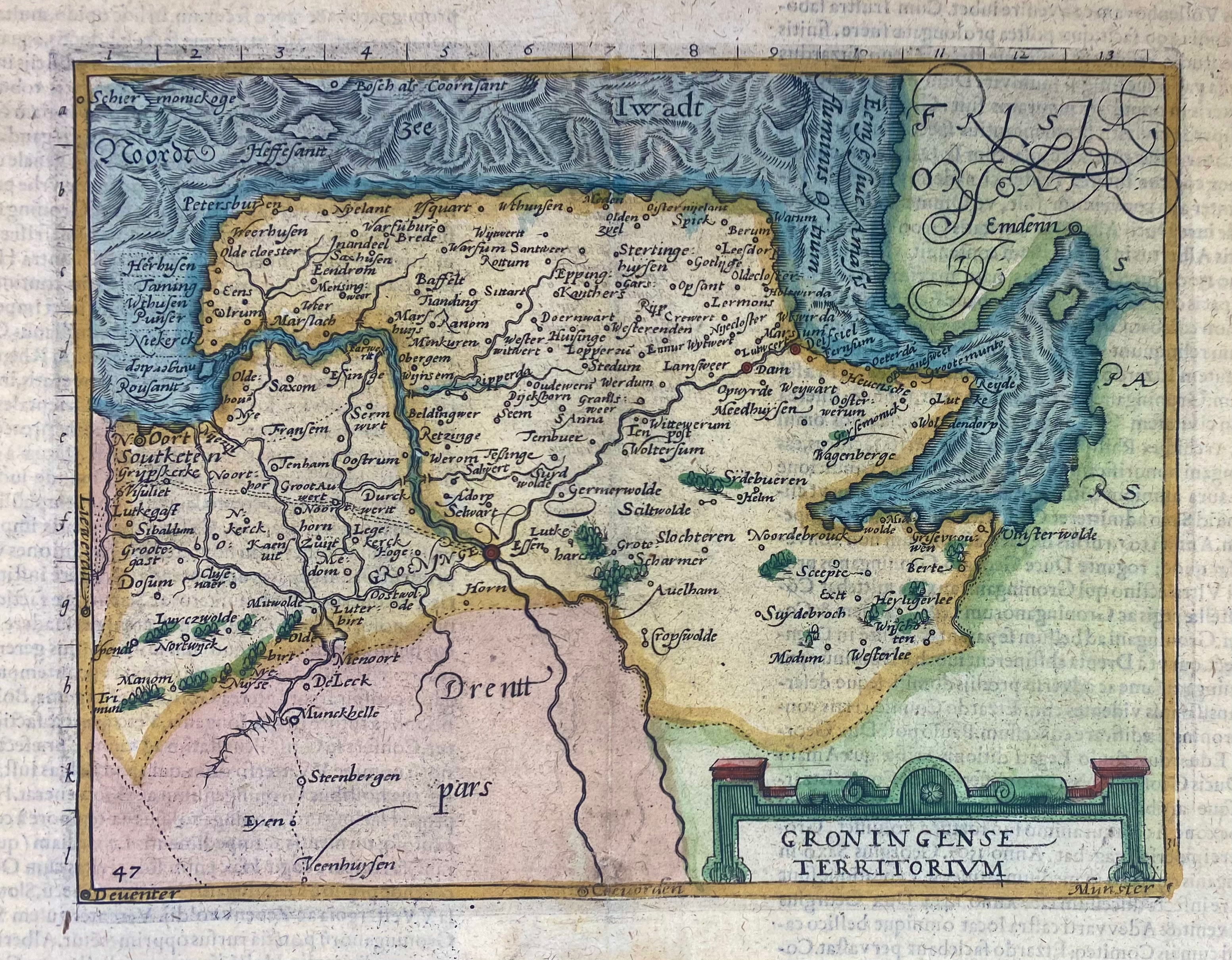
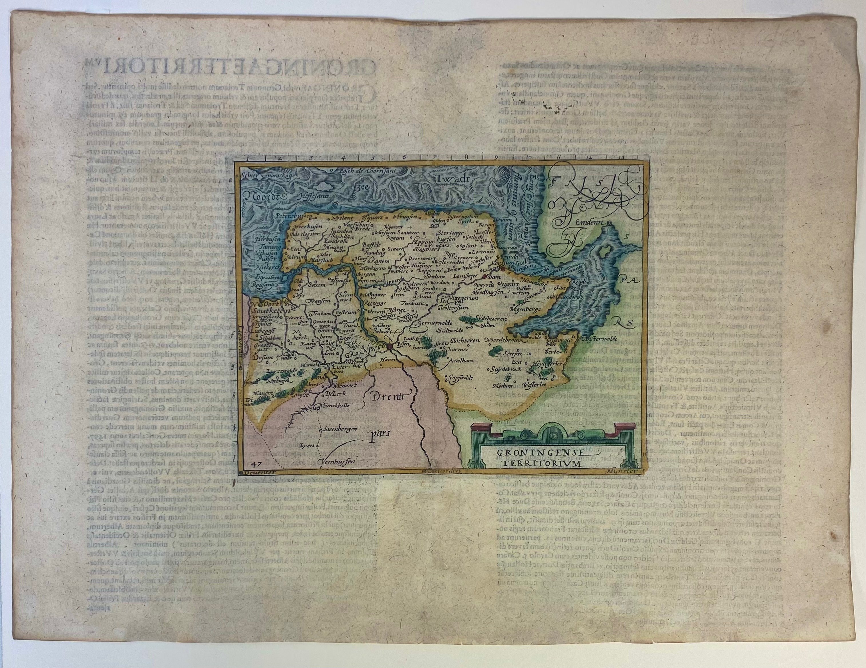
LOW COUNTRIES -- GRONINGEN -- "GRONINGENSE TERRITORIUM". (Cologne, c. 1587-1602). Cont. cold. engr. map of the province of Groningen by Fr. Hogenberg. 148 x 195 mm. Text on v° in Latin. Under passepartout. (Lower margin cut and professsionally repaired).
This map was first published in the early travel guide "Itinerarium orbis Christiani". It is the oldest map presenting only Groningen. It was engraved by Frans Hogenberg and the series of maps whereto it belongs, was used for several works: 'Itinerarium Belgicum' (Georg Braun, 1587), 'Belgici leonis chorographica' (Michael von Eitzing, 1587), 'De Europae virginis' (Michael von Eitzing, 1588) and in atlasses by Johannes Metellus (1598-1602). Our copy with latin text on v°, scale numbers/letters in the margin of the map, leaf 'q' on v°. - Cf. Vredenberg-Alink, p. 38 (IIA1,2, afb. 28).€ 240
uitslag € 280
Terug