Kavel 380
380
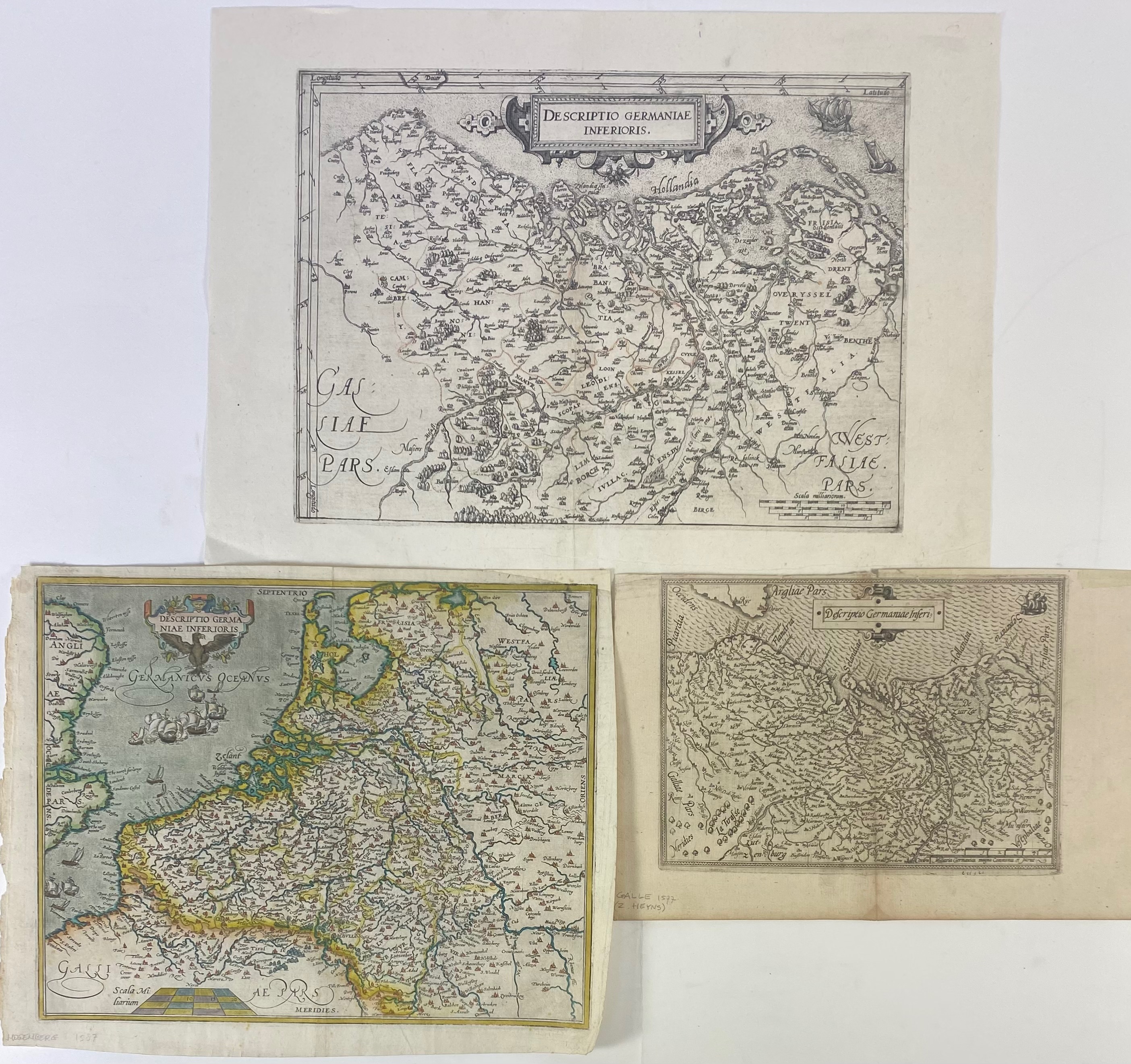
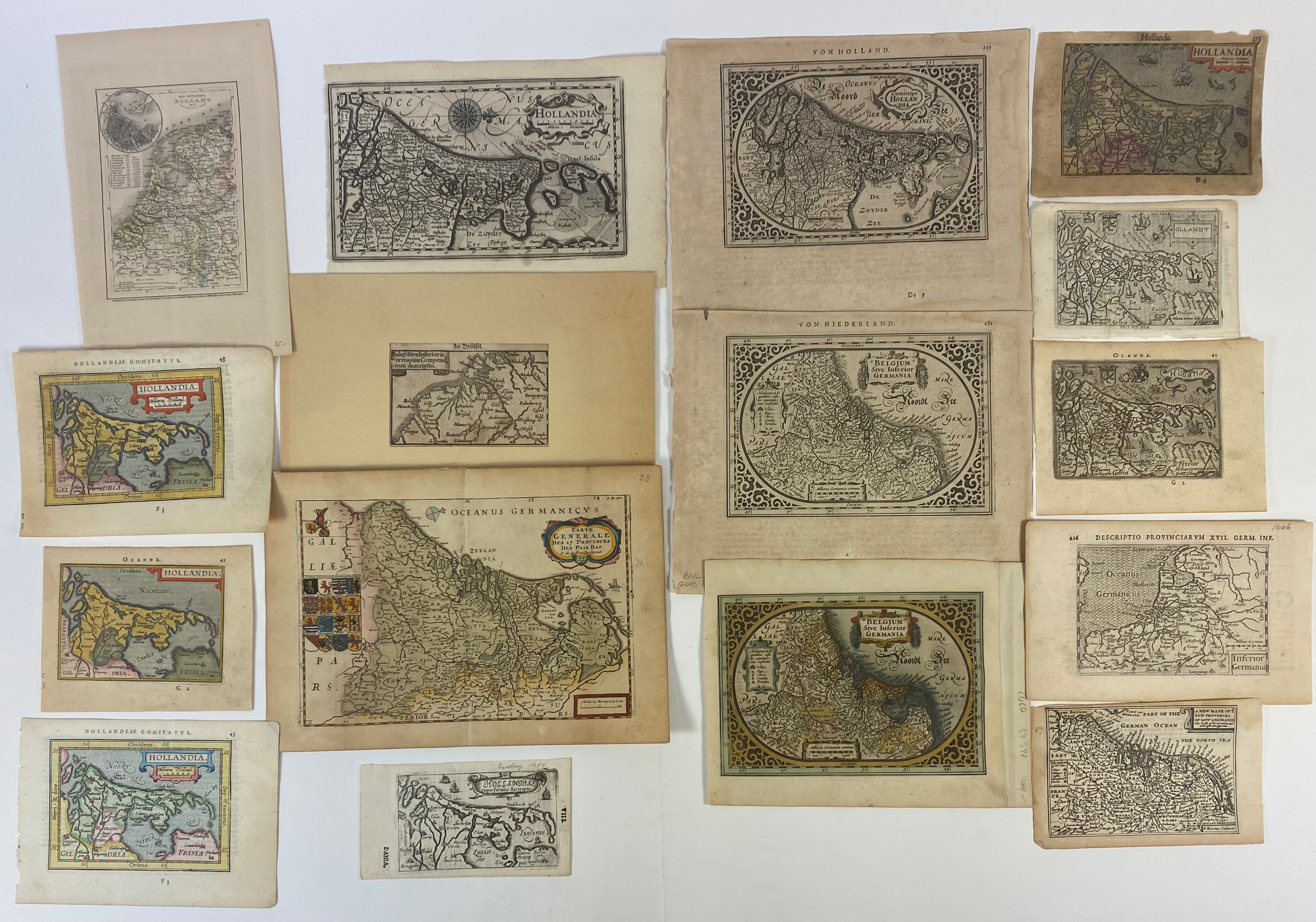
LOW COUNTRIES -- "DESCRIPTIO GERMANIAE INFERIORIS". (From Guicciardini 1581/82). Engr. map. 235 x 320 mm. Guicciardini Illustratus Nederlanden-3; Van der Heijden 24. -- "DESCRIPTIO GERMANIAE INFERIORIS". (c. 1593). Engr. map in old handcol. by Fr. Hogenberg. 235 x 300 mm. (Upper outer corner rep. (affecting the border of the map)). Van der Heijden 31:2b. -- "DESCRIPTIO GERMANIAE INFERI". (1577). Engr. map by Ph. Galle. 158 x 213 mm French text and small map on v°. (Upper margin rep. in 2 places, inner lower margin a bit stained). Van der Heijden 19. -- And 16 o. small (handcold.) maps of the Low Countries, incl. 1 duplicate. (19).
€ 240
uitslag € 1000
Terug

