Kavel 374
374
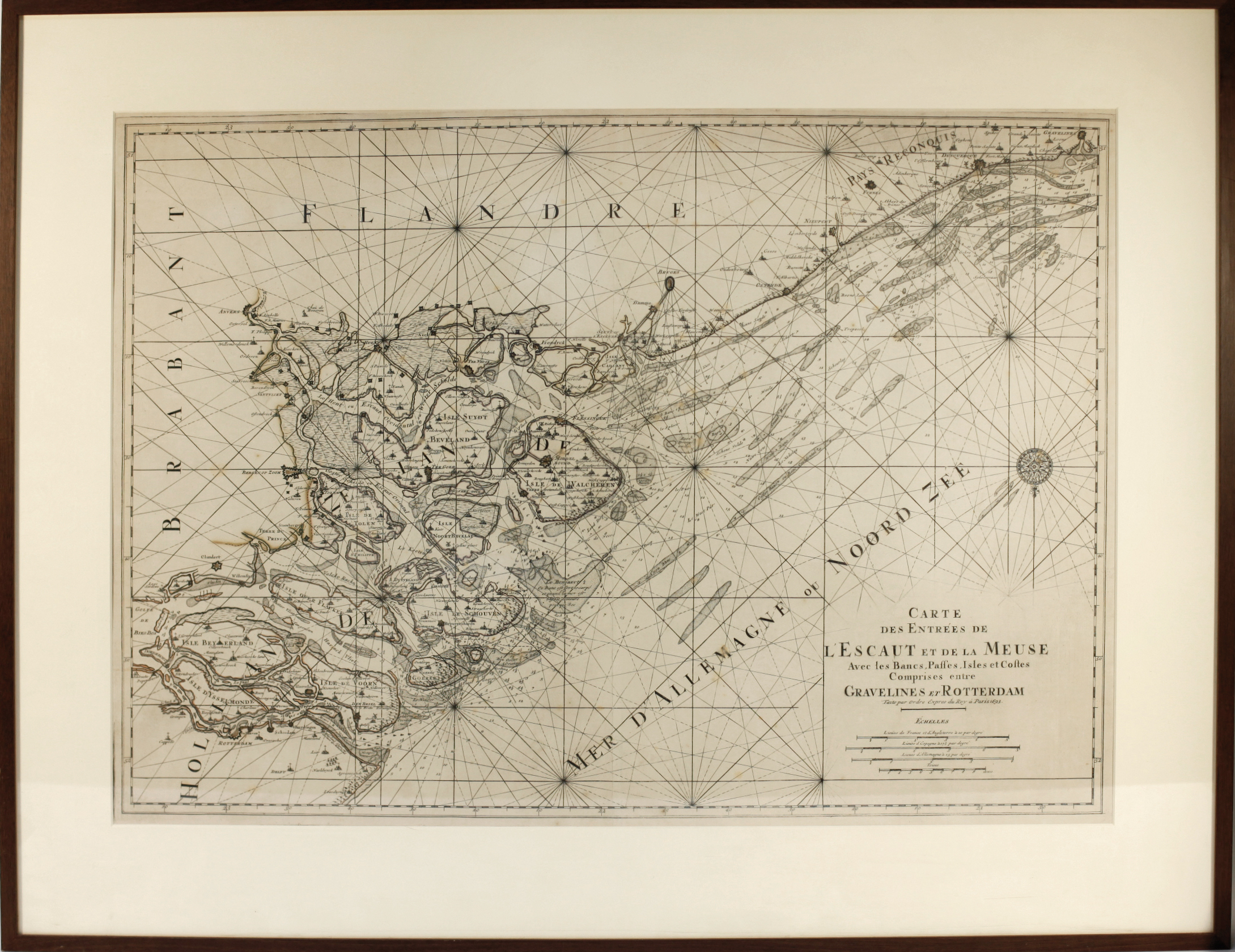
LOW COUNTRIES -- CHARTS -- "CARTE DES ENTRÉES DE L'ESCAUT et de la Meuse avec les bancs, passes, isles, et costes comprises entre Gravelines et Rotterdam". (Par./Amst., 1693). Engr. sea chart by C.W. Berey. 610 x 866 mm. Framed, glazed and under passepartout. (Uninspected out of frame, only a few small foxing spots).
Scarce nautical chart presenting the coast from Rotterdam to Gravelines. From 'Le Neptune Francois'. - Koeman IV, M. Mor 1.€ 180
uitslag € 200
Terug
