Kavel 372
372
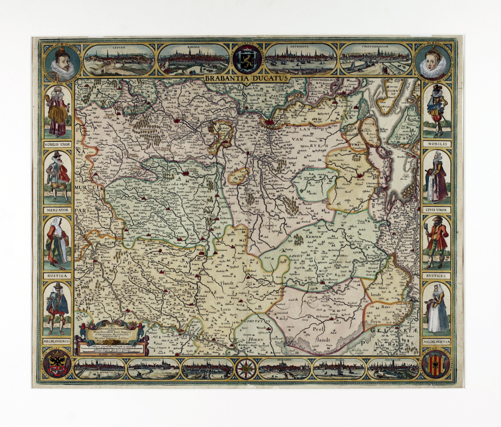
LOW COUNTRIES -- "BRABANTIA DUCATUS/Tabula Ducatus Brabantiae Continens Marchionatum Sacri Imperij et Dominium Mechliniense Magna cura edita a Nicolao Iohannis Visscher". (Amst.), 1657. Cold. engr. map of Brabant, surrounded on all sides by town views, costumed figures, portraits and coats of arms. 470 x 565 mm. (Margins short, several (small) repairs on v°, small irregularities visible on central vertical fold, but an acceptable copy).
Handsome map with city views in upper and lower border of Louvain, Brussels, Antwerp, 's Hertogenbosch, Tienen, Bergen op Zoom, Lier, Helmond, Breda and Mechelen; left and right borders with costumed figures, together with coats of arms and portraits. - Schilder 6, 58.10.€ 700
uitslag € 900
Terug
