Kavel 361
361
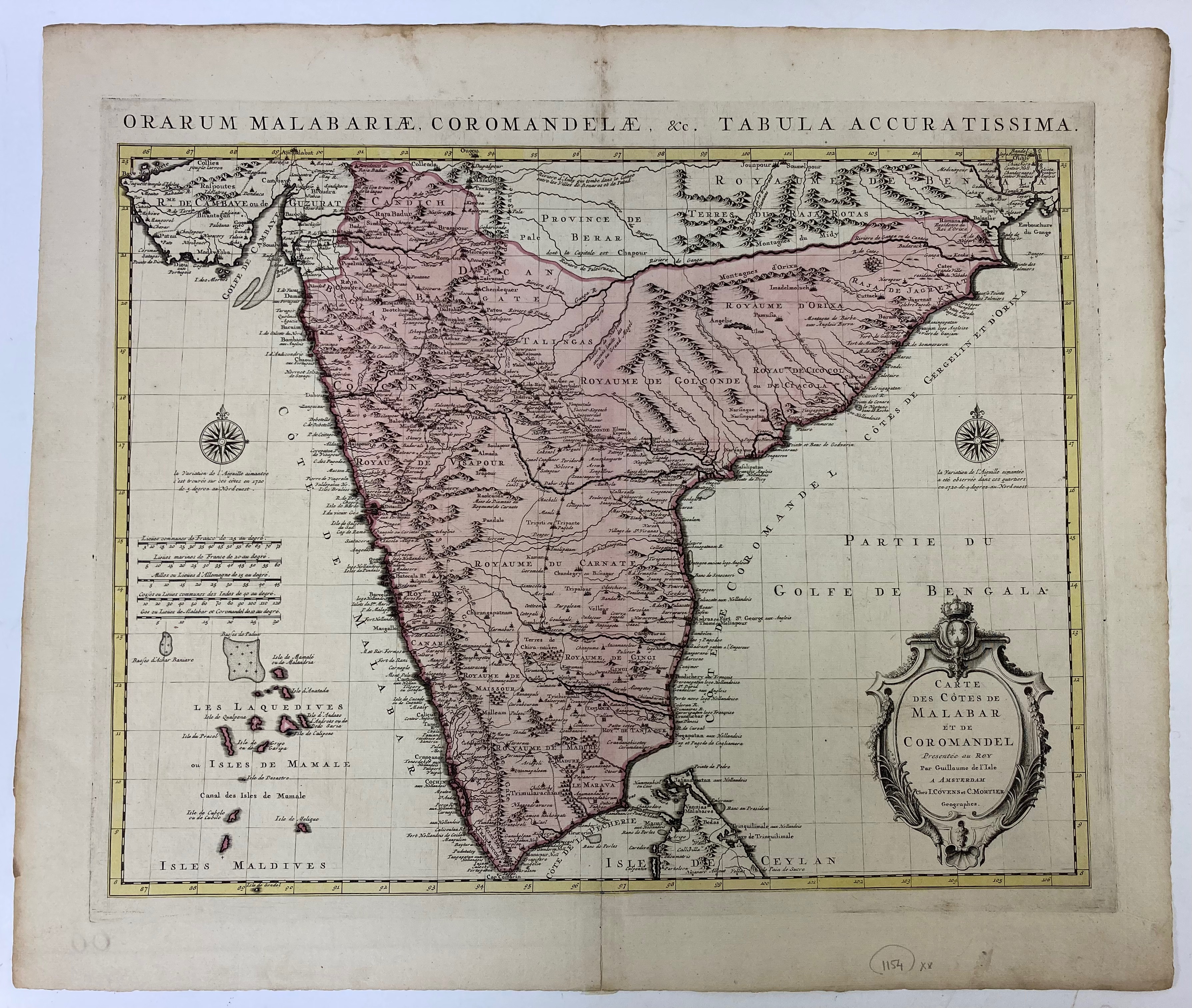
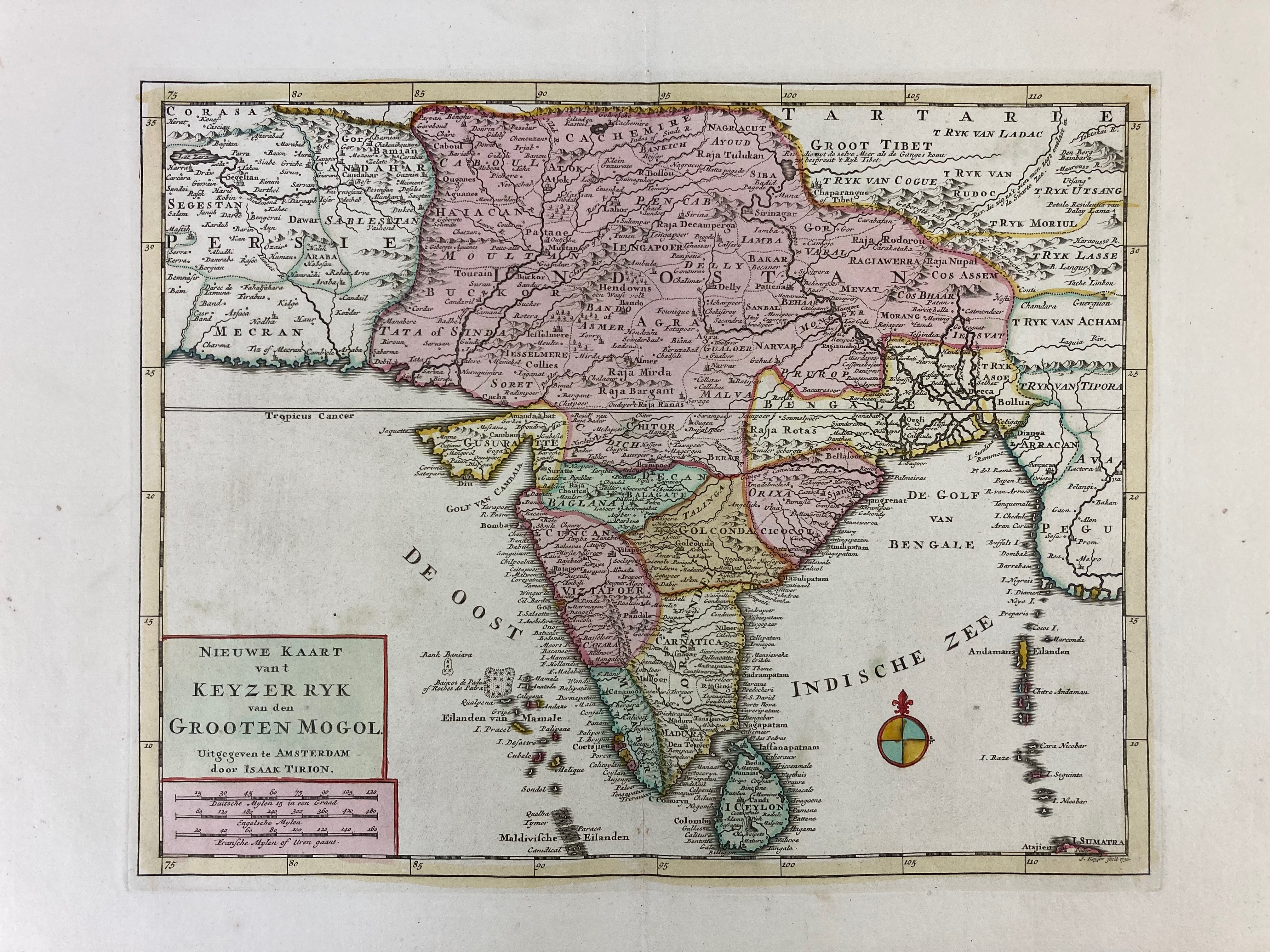
INDIA -- "CARTE DES CÔTES DE MALABAR ET COROMANDEL (…)". Amst., Covens & Mortier, (c. 1730). Engr. map of the southern part of India w. large cartouche and compass rose in cont. col. 478 x 590 mm. (Upper blank margin a bit browned, but in fine condition). -- Added: "NIEUWE KAART van t Keyzer Ryk van den Grooten Mogol". Amst., I. Tirion, (c. 1770). Engr. map of India in cont. col. 298 x 371 mm. -- (2).
€ 200
uitslag € 200
Terug