Kavel 340
340
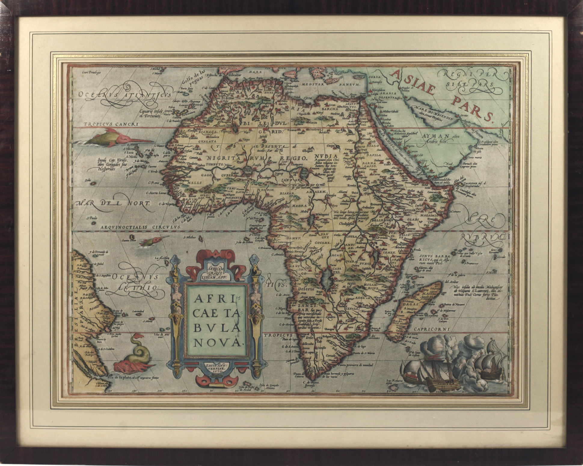
AFRICA -- "AFRICÆ TABULA NOVA". Antwerp, (Ortelius), 1570 (i.e. 1580's/early 1590's). Engr. map by F. Hogenberg, beautifully cold. by a cont. hand. 376 x 507 mm. Framed, glazed and under passepartout. (Uninspected out of frame, but apparently in very good condition).
Beautiful map decorated with a large cartouche with 2 caryatids, sea monsters and a sea battle in the right lower corner. - Van den Broecke 8; V.d. Krogt 8600:31. To be dated after 1581 and before 1595.€ 700
uitslag € 550
Terug
