Lot 951
951
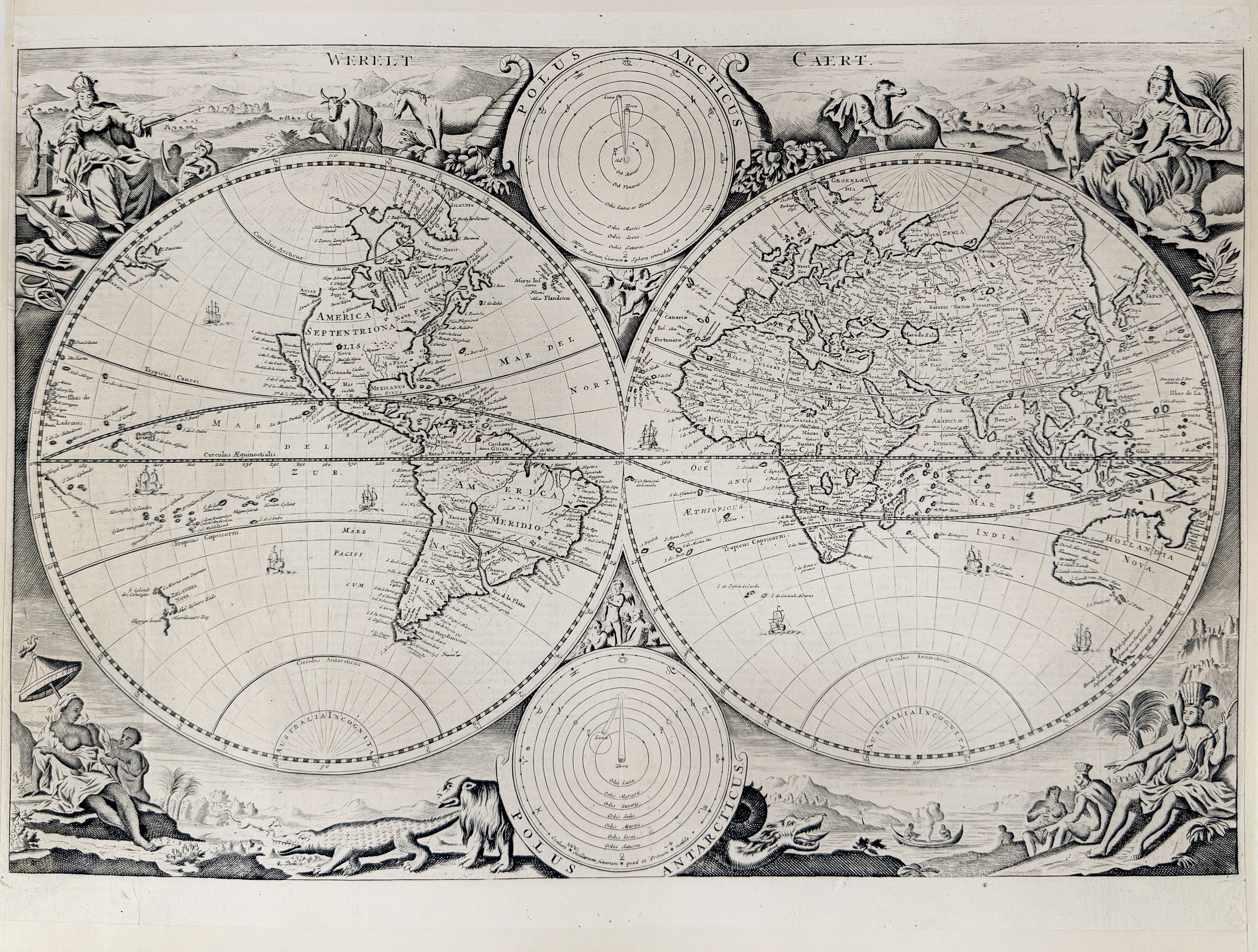
WORLD MAP -- "WERELT CAERT". N.d. (first half 18th c.). Engr. map by D. Stoopendaal, depicting 2 hemispheres and 2 polar hemispheres against a pictorial background decoration. 305 x 455 mm. Dutch text on v°. (Traces of former framing, but a clean map).
Shirley 498; Poortman K II-2. The second state of the Stoopendaal world map, found in 'Keur bibles', the signature and number "6" of the first state are erased (right outer corner present here!).€ 180
result € 360
Back