Lot 715
715
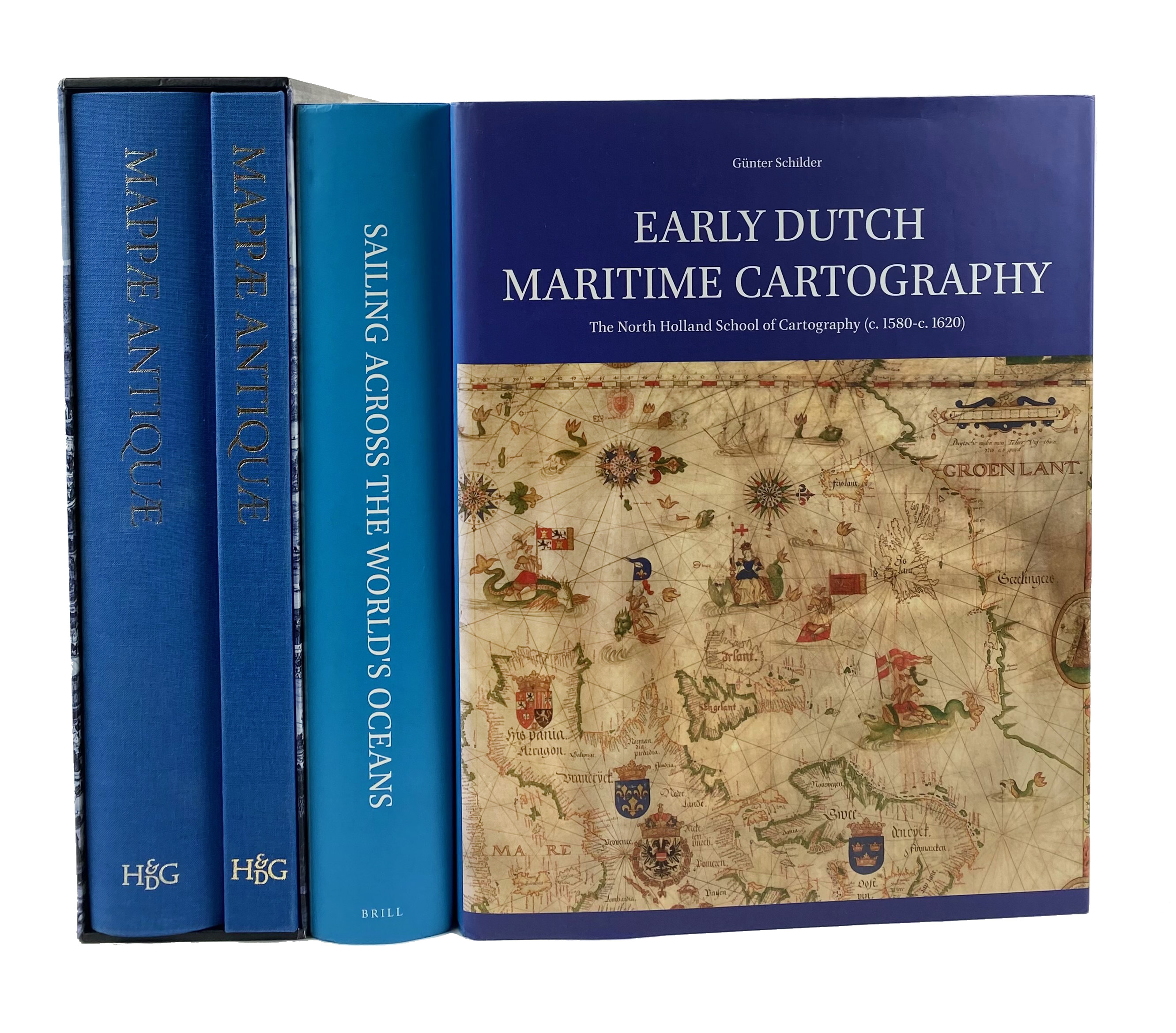
SCHILDER, G. Early Dutch Maritime Cartography. The North Holland School of Cartography (c. 1580-c. 1620). (2017). - Id. & H. KOK. Sailing across the World's Oceans. History & Catalogue of Dutch Charts Printed on Vellum. (2019). - 2 vols. Fol. Ocl. w. dust-j. (Spines sunned). -- Added: P. GESTEL-v.h. SCHIP & P. v.d. KROGT, eds. Mappæ antiquæ. Liber amicorum Günter Schilder. (2007). 1 text-vol. & 1 portfol. w. 15 fold. maps. Fol. Ocl. In or. slipcase. -- (4).
€ 120
result € 300
Back