Lot 601
601
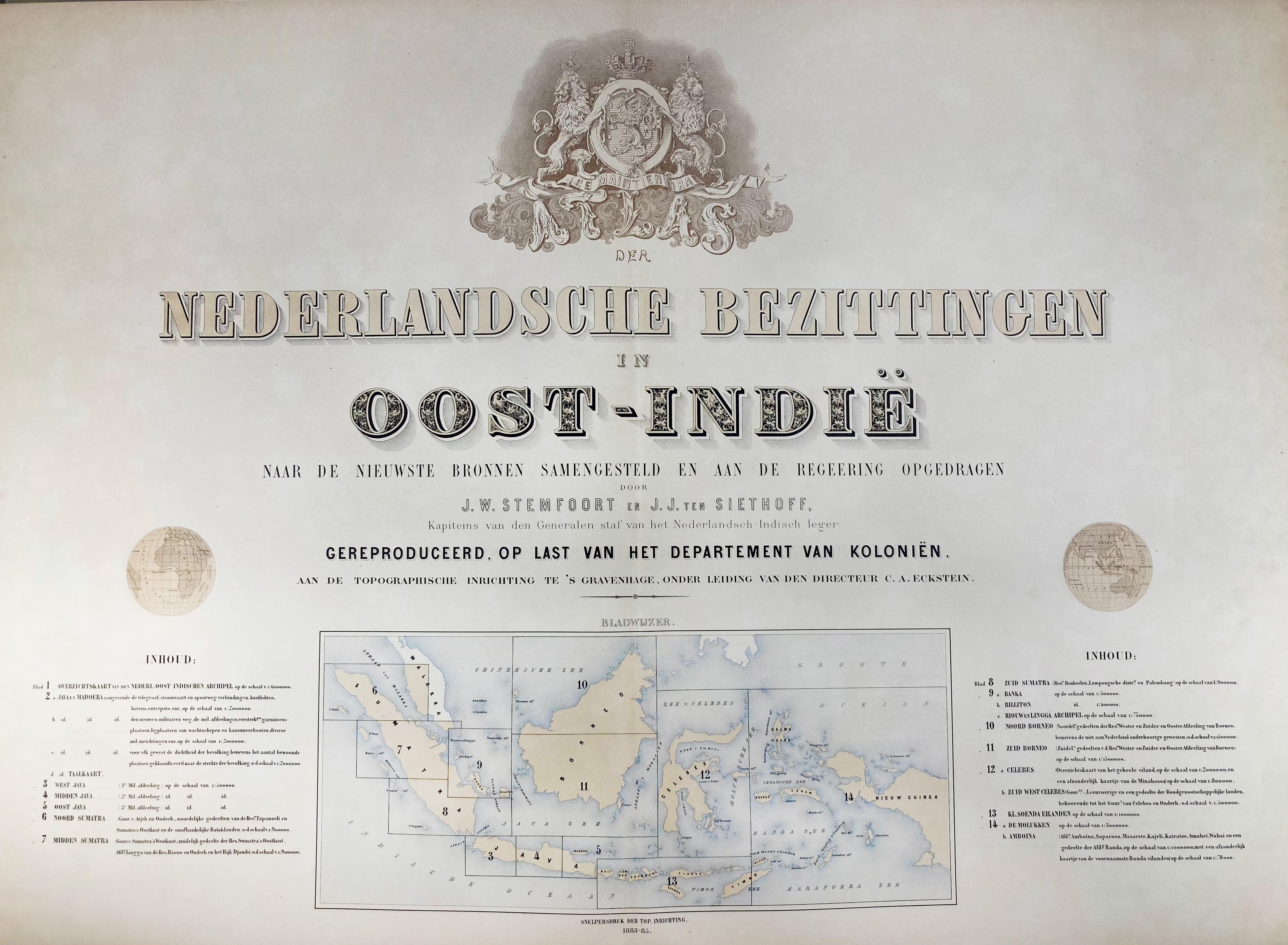
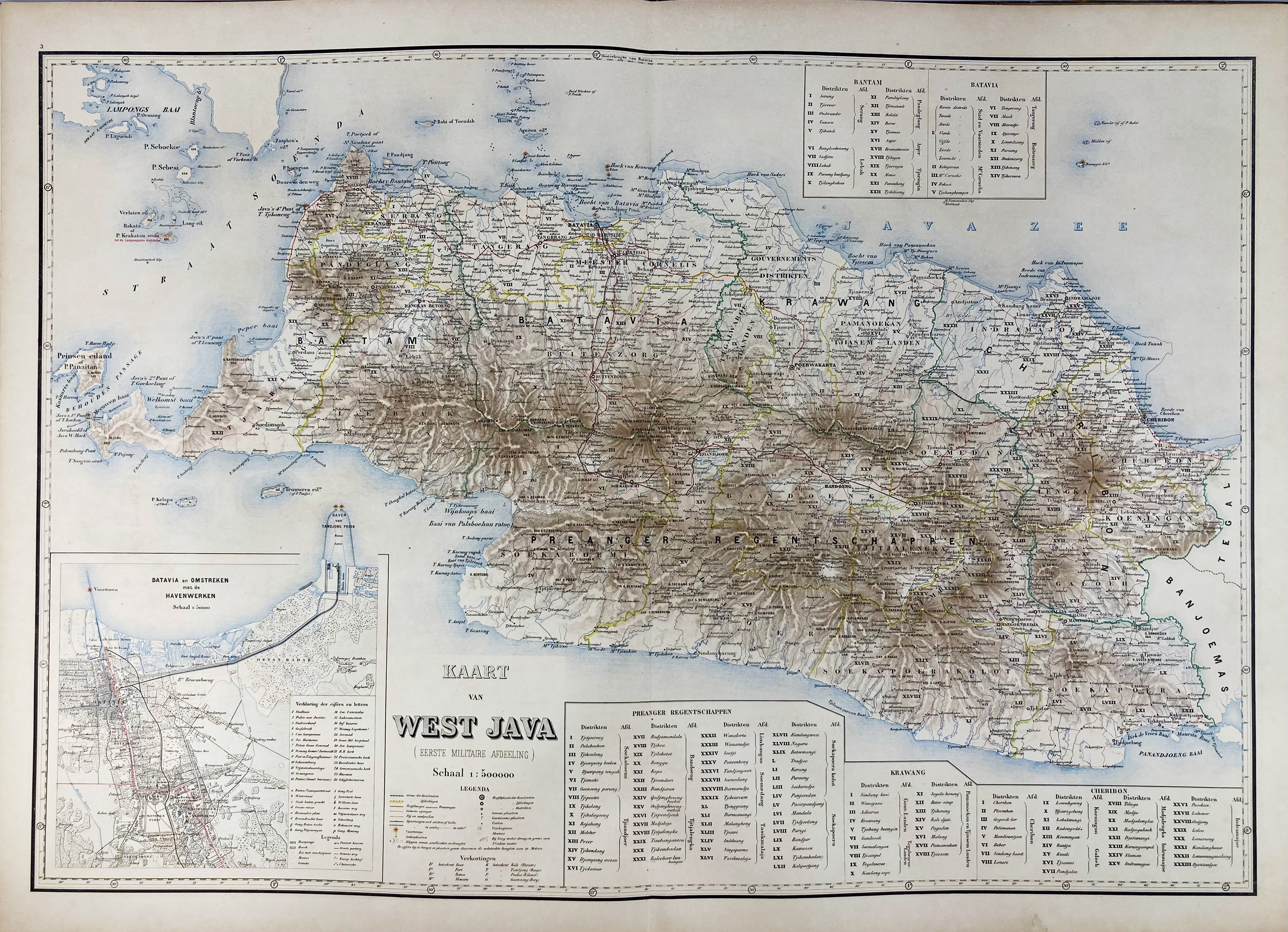
MALAY ARCHIPELAGO -- STEMFOORT, J.W. & J.J. ten SIETHOFF. Atlas der Nederlandsche bezittingen in Oost-Indië naar de nieuwste bronnen samengest. (…). Gereprod. op last v.h. Dept. v. Koloniën, aan de Topogr. Inrichting te 's Gravenhage, o.l.v. C.A. Eckstein. 's-Grav., 1883-85. W. cold. lithogr. double-p. ti. w. inset general map and legenda, and 14 fine cold. lithogr. double-p. maps (image size c. 580 x 850 mm!). Lge-fol. Ohcl. w. corners. (Binding a bit chafed along borders, book block solid, but (almost) loose in binding (linen spine weak/a bit dam.), some very mild foxing in places, but altog. a v.g. copy).
Fine and elaborate atlas which was government-commissioned, intended for use i.a. by the Dutch colonial administration. It presents a comprehensive cartographic overview of the Dutch East Indies, the territories that now make up Indonesia. The cartography reflects a transition from exploratory sketches to scientific, geodetic mapping, incorporating coordinates and standardized scales. - Koeman VI, Stem A1.€ 400
result € 0
Back