Lot 523
523
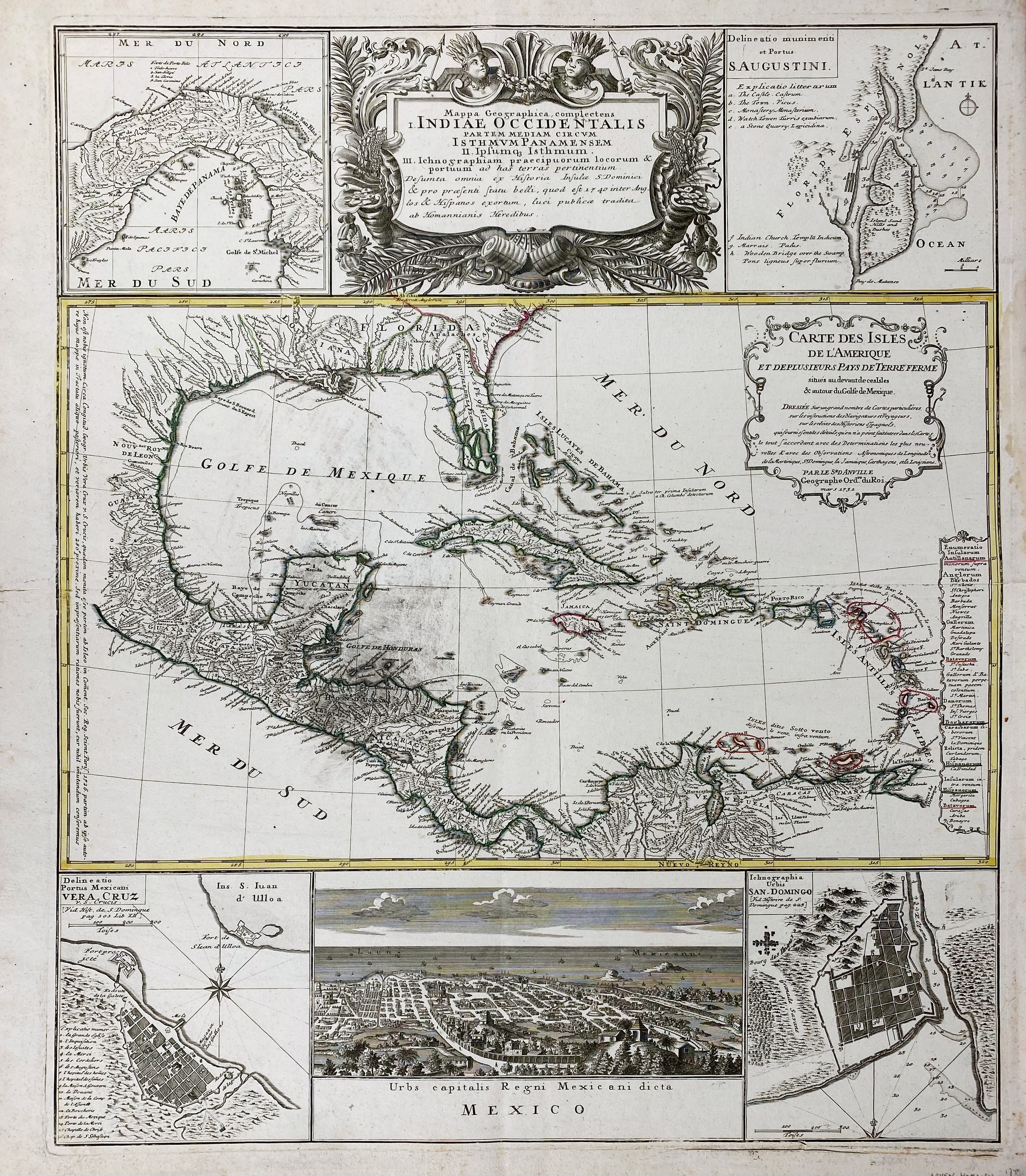
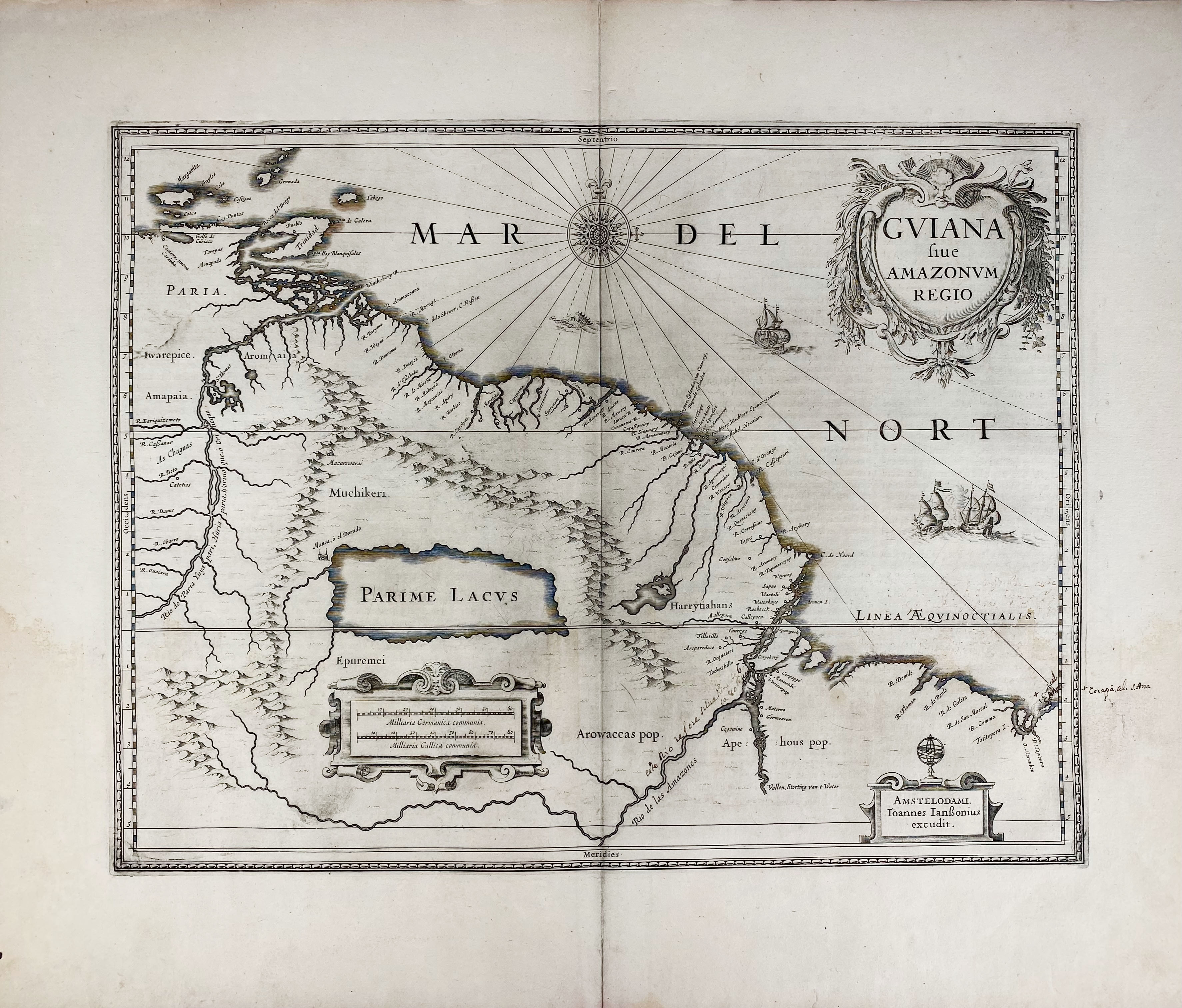
WEST INDIES -- "MAPPA GEOGRAPHICA complectens I. Indiae Occidentalis partem mediam circum Isthmum Panamensem (…)." Nuremberg, Homann Heirs, (c. 1740). Engr. map of the Caribbean and Gulf of Mexico, partly cold. in outlines. 575 x 485 mm. (Some marg. stains and sm. tears, light foxing spots). -- Added: "GUIANA sive Amazonum Regio". Amst, J. Janssonius, (c. 1653-66). Plain engr. map w. compass rose, scale indicator and 2 cartouches. 381 x 496 mm. (Faintly stained, w. some (removed) annot. in an old hand). -- (2).
Ad 1: The large central map is titled 'Carte de Isles de l’Amerique et Deplusieurs Pays Terre Ferme' and credits D’Anville for the cartography. It is surrounded by 5 smaller insets that include the Isthmus of Panama, one of the earliest obtainable plans of St. Augustine, a bird’s eye view of Mexico City, and plans of Vera Cruz and San Domingo. Ad 2: Spanish text on v°. V.d. Krogt I, 9840:1.2.€ 200
result € 220
Back