Lot 486
486
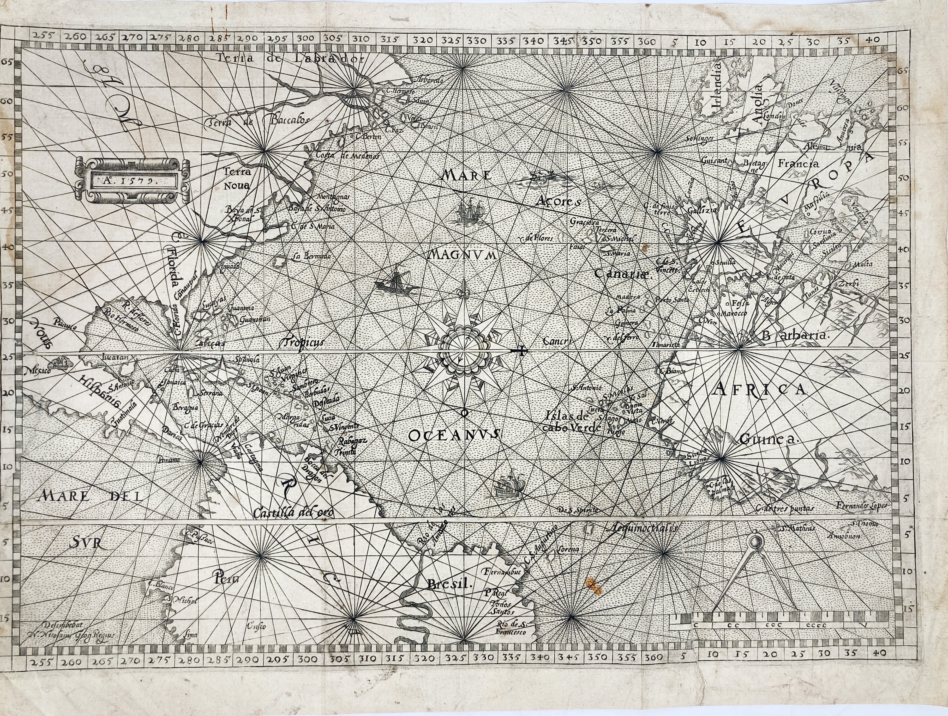
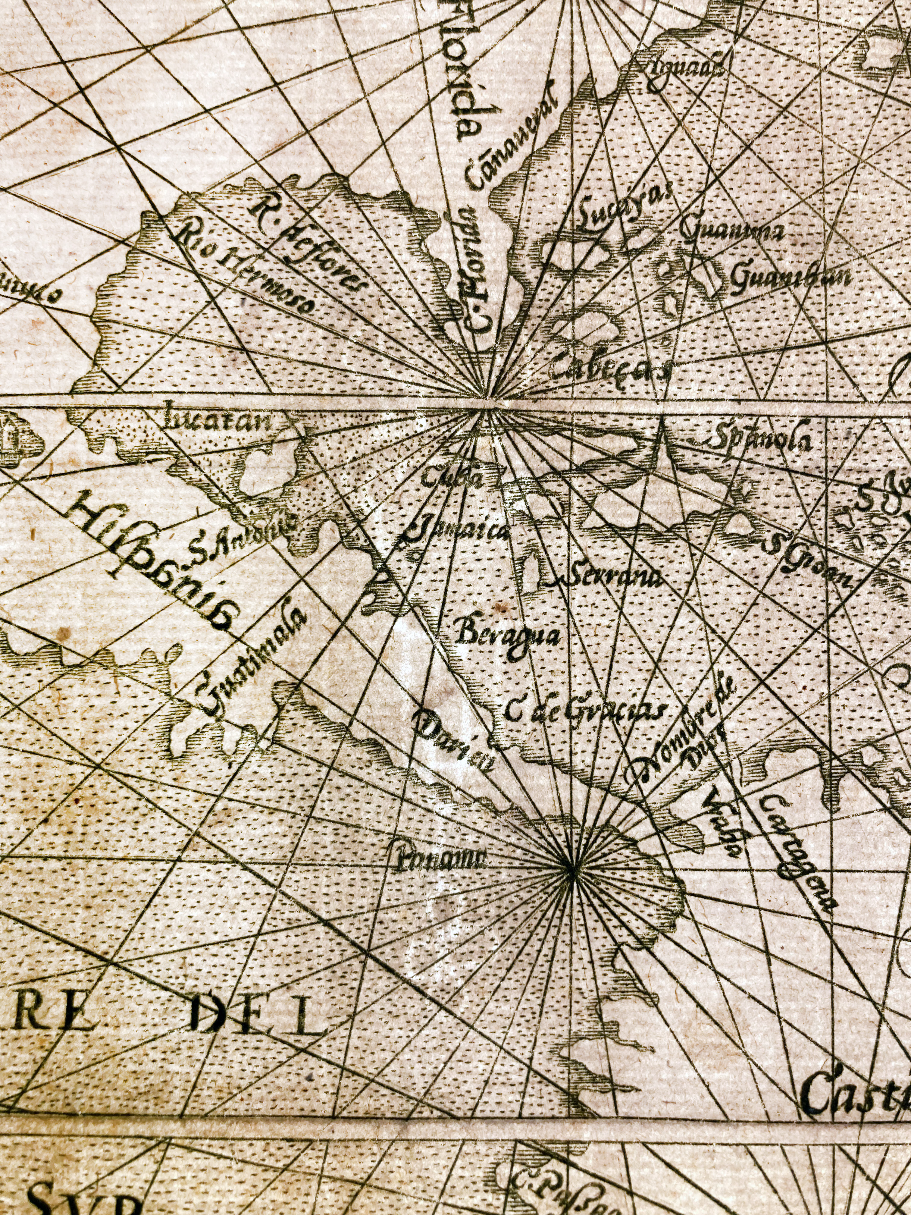
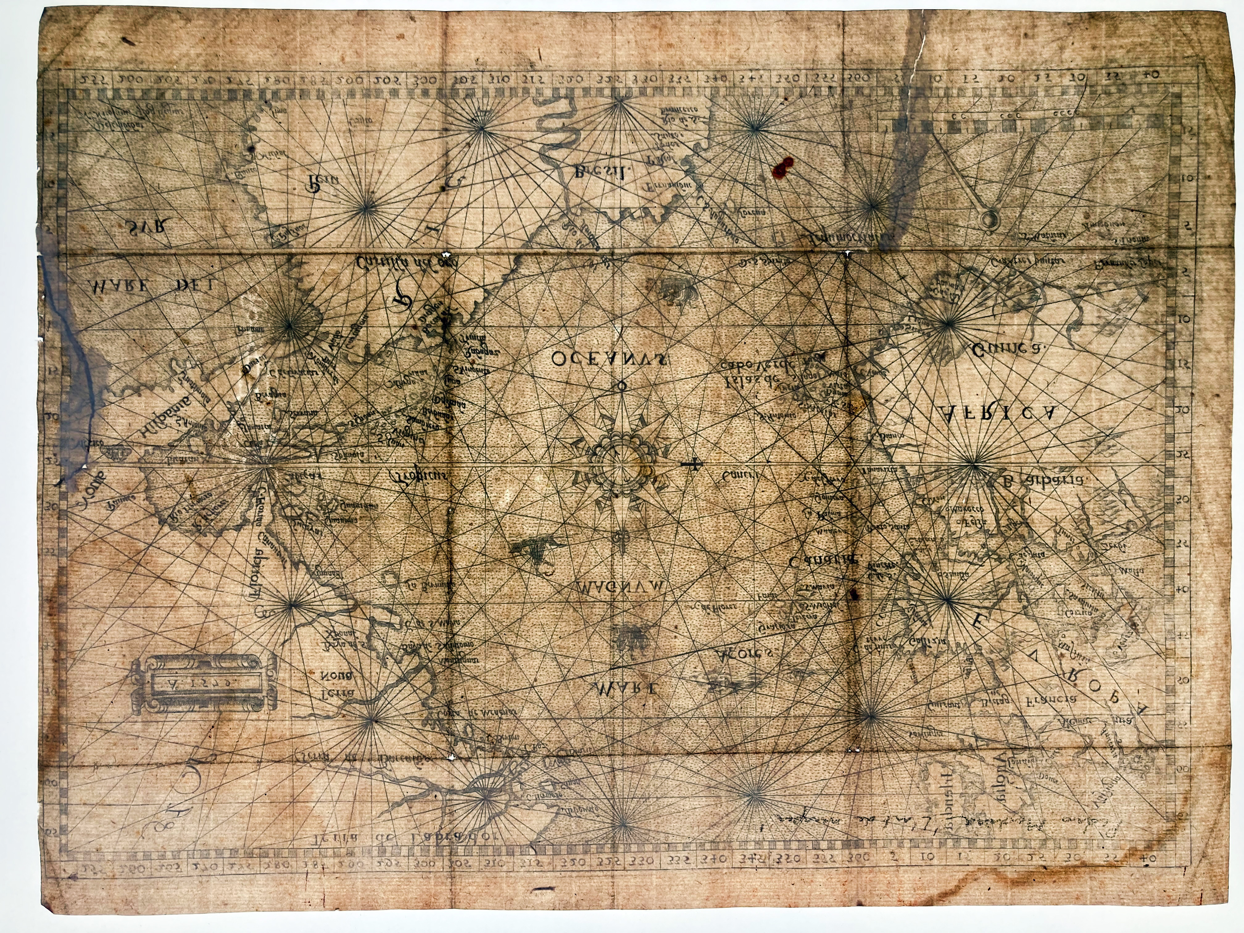
NORTH ATLANTIC -- (NORTH ATLANTIC CHART). 1579 (=Antwerp, 1580). Engr. sea chart by Nicolas de Nicolai w. scale indicator and compass rose, annotated in the plate: "Describebat N. Nicolaius Geog. Regius". 246 x 352 mm. (2 tears closed on v°, a bit stained, 4 very tiny holes at the intersection of folds, left outer margin short).
Third state of an excessively rare map of the New World and the Atlantic Ocean. Where previously "Nouveau Monde" was engraved in the upper left cartouche this text was erased (still partly readable) and replaced by the date "1579". The equator is made visible by means of a horizontal double line. Nicolas de Nicolay (1517-1583), French geographer and traveler from Dauphiné. In 1556, he received the official title of "geographer to the king." Nicolay had traveled extensively in Northern Europe (Germany, Denmark, Livonia, Sweden, England, Scotland) on diplomatic missions. In 1551, Henry II ordered Nicolas de Nicolay to accompany Gabriel Aramon on an embassy to the Grand Turk Suleiman the Magnificent. - According to Burden 53 this ("extremely rare") map was published in a Dutch edition of Pedro de Medina's work 'L'Arte del navegar', published in Antwerp by H. Hendricksen, 1580; see also Bibl. Belgica IV, p. 312; Sabin not listing any of the Dutch translations. This third state has "Terra de Labrador" in lowercase as a distinguishing feature.€ 2000
result € 5000
Back