Lot 405
405
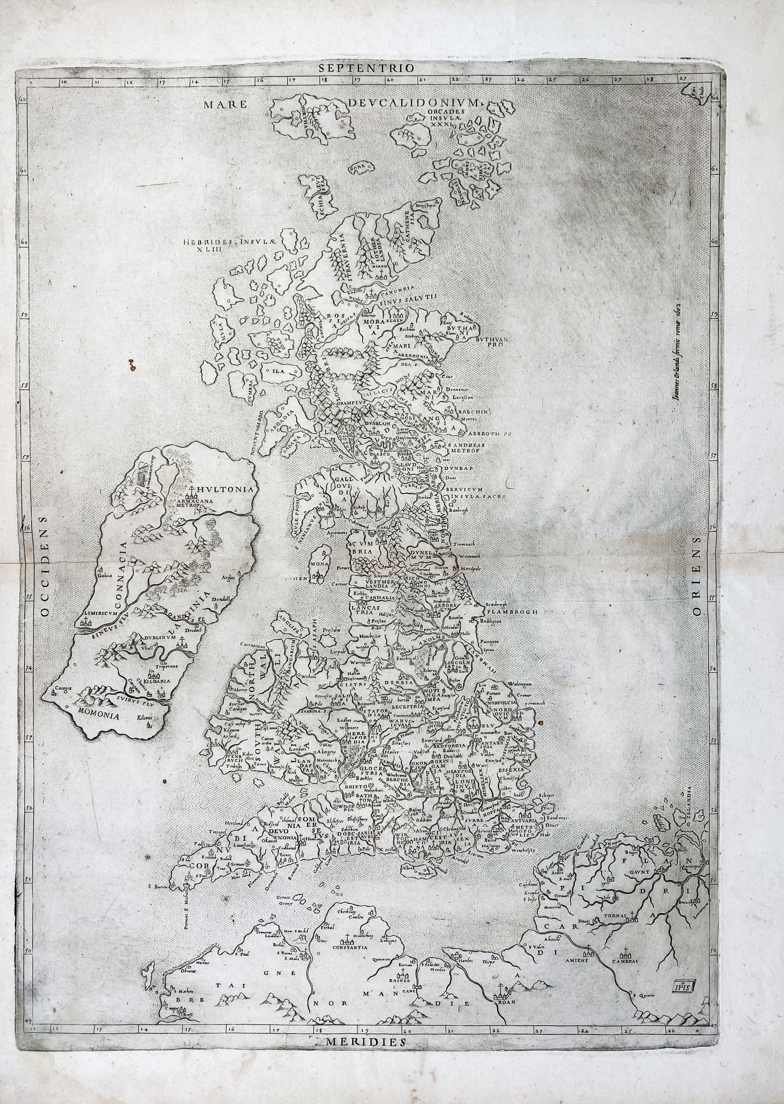
GREAT BRITAIN -- ("BRITANNIA INSULA quae duo regna continent Angliam et Scotiam cum Hibernia"). Roma, G. Orlandi, 1602. Engr. map of the British Isles with the North being at the top. 491 x 354 mm. (Faint marg. stain, sl. browned/foxed).
Reissue by Giovanni Orlandi of the 1556 map, which was the second Rome printing of George Lily's important map, the first with a different orientation: from east-west to a north-south alignment. All the text panels are removed from the 1602 edition. - Cf. Tooley nrs. 269 (1556).€ 400
result € 3800
Back