Lot 374
374
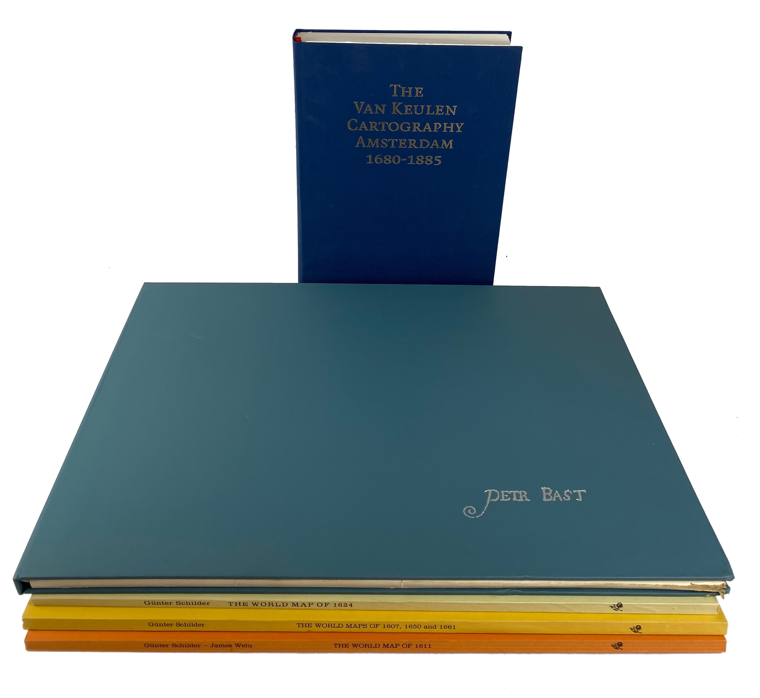
VRIES, D. de, G. SCHILDER, (a.o.). The Van Keulen cartography Amsterdam 1680-1885. (&) Indexsheets (loosely added). Alphen a/d Rijn, 2005. Fol. Ocl. -- G. SCHILDER. The world map of 1624 by Willem Jansz. Blaeu & Jodocus Hondius. - Id. Three world maps by Francois v.d. Hoeye of 1661, Willem Janszoon (Blaeu) of 1607, Claes Janszoon Visscher of 1650. - Id. & J. WELU. The world map of 1611 by Pieter van den Keere. - Amst., N. Israel, 1977-81. 3 (of 4) vols. Full size facsimile of the maps involved plus comment. text. Lge-fol. Owrps. -- Added: G. KEYES. Pieter Bast. 1981. W. 37 b/w plates, loose as issued. Lge-obl.-fol. In ocl. portfol. -- (5).
€ 100
result € 70
Back