Lot 1050
1050
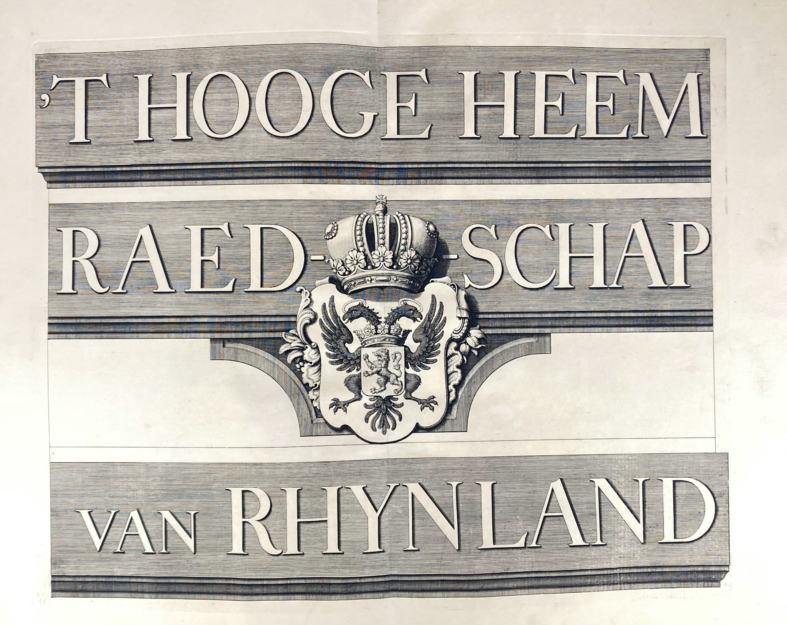
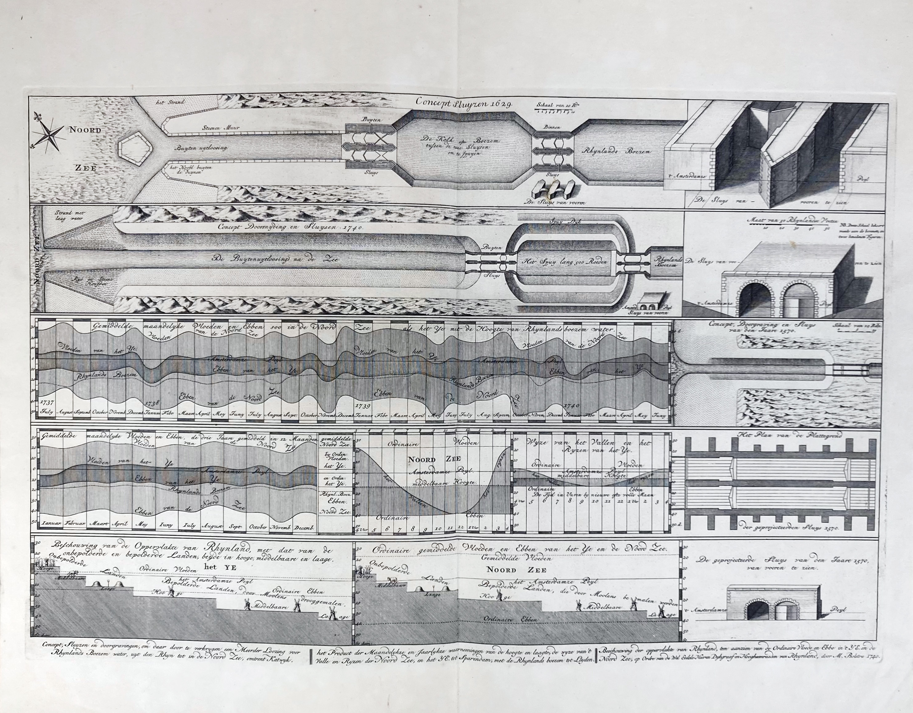
POLDER MAPS -- RIJNLAND -- (DOU, J.J. & S. v. BROECKHUYSEN). 't Hooge Heemraedschap van Rhynland. (...) vernieuwd, geamplieerd en gecorrigeerd (d. M. Bolstra)). (Amst., I. Tirion, 1746). W. engr. title on 1 double leaf, 12 engr. maps on double leaves, 1 engr. map of Haarlemmermeer on 1 double leaf & 1 engr. table/plan on 1 double leaf. Lge-fol. Cont. hcf. w. red label. (Upper corner title p. cut off, otherwise exceptionally clean & well-preserved).
Third, corrected edition of these fine, uncoloured maps in a very fine condition. The last plate represents the 'Concept sluijzen 1629' near Katwijk. The maps can be assembled into a large wall map of approx. 186 x 168 cm. Donkersloot-De Vrij, 715 mentions the name of the publisher, who can not be found on the maps themselves. She also states that the edition was limited to 650 copies only. - Koeman, Geschiedenis van de kartografie van Nederland, p. 138.€ 1000
result € 1300
Back