Lot 557
557
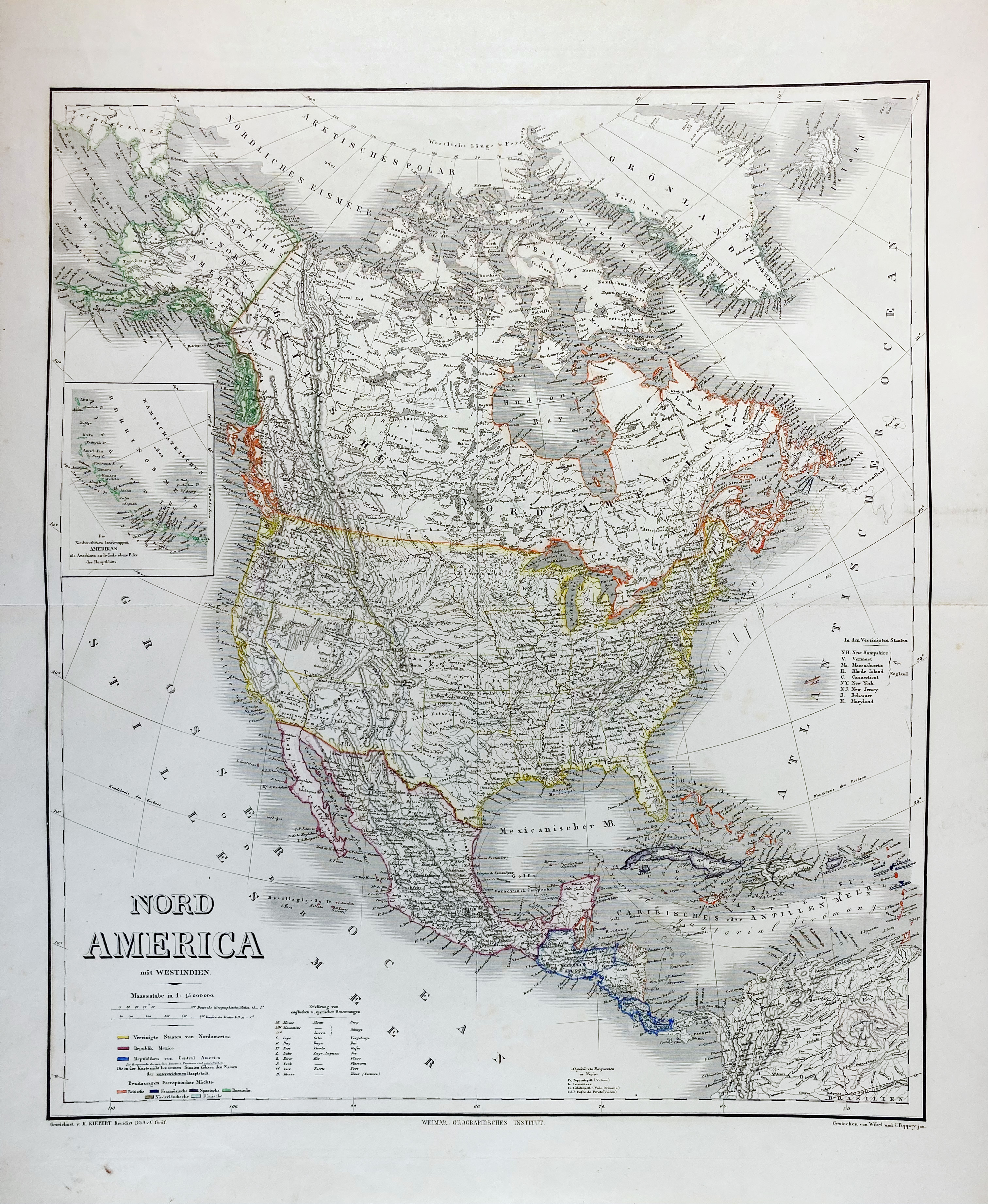
VARIA -- "NORD AMERICA mit Westindien" - "DIE VEREINIGTEN STAATEN von Nordamerica nebst Canada" - "AFRICA" - "VORDER-ASIEN oder Iran, Turan, Arabien, Kleinasien und die Kaukasus Länder" - "DIE SCHWEIZ" - "DIE PREUSSISCHEN PROVINZEN Preussen und Posen und das Königreich Polen" - DAS KÖNIGREICH HELLAS oder Griechenland und die Republik der sieben ionischen Inseln" - Weimar, Geogr. Institut, 1859. 7 large sized engr. maps from: 'Hand-atlas der Erde' by H. Kiepert, (a.o.), all cold. in outlines. 590 x 710 mm (paper size) each. (Last mentioned w. tear running into image, clumsily rep., others in v.g. condition). -- (7).
€ 200
result € 0
Back