Lot 554
554
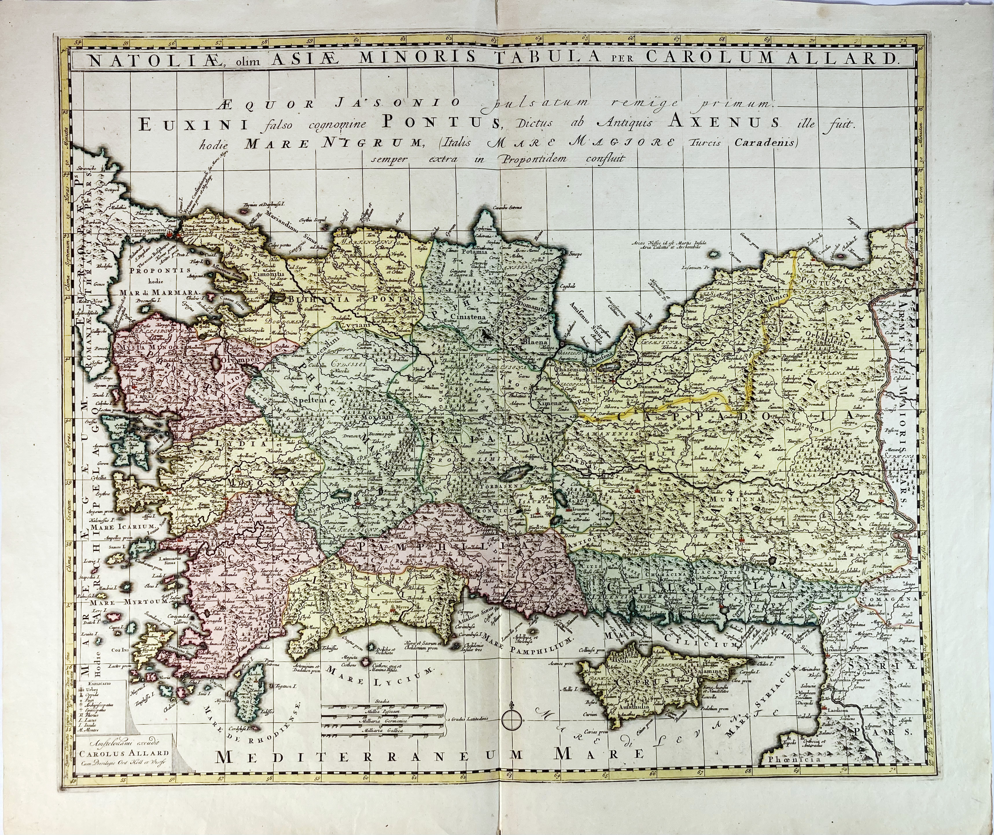
TURKEY -- "NATOLIAE, olim Asiae Minoris Tabula". Amst., C. Allard, n.d. (c. 1697). Engr. map of Turkey in cont. colouring. 483 x 560 mm.
Koeman I, p. 31 & 36: "(…) maps by Allard (…) are very decorative, well-composed and up-to-date".€ 120
result € 90
Back