Lot 502
502
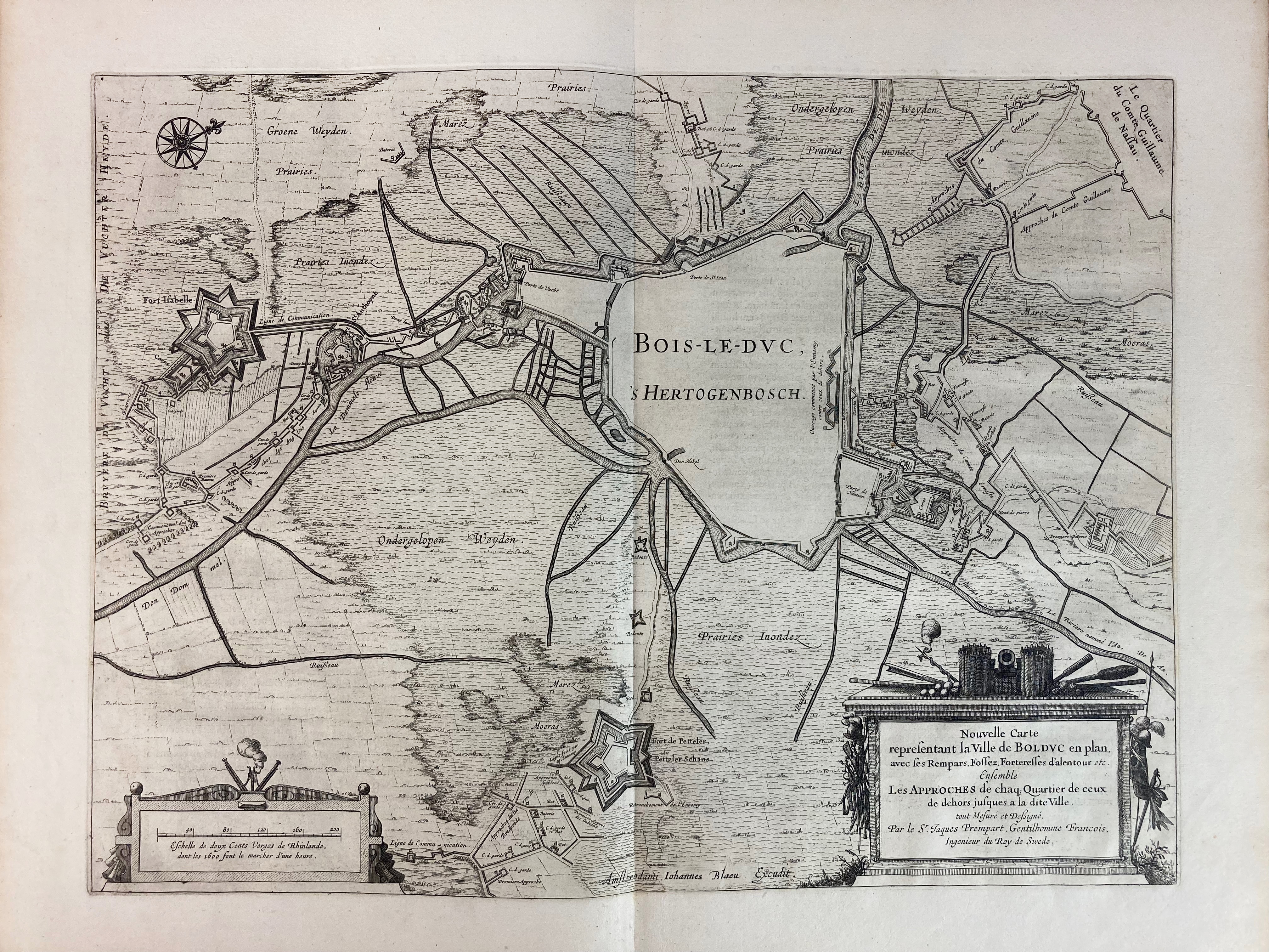
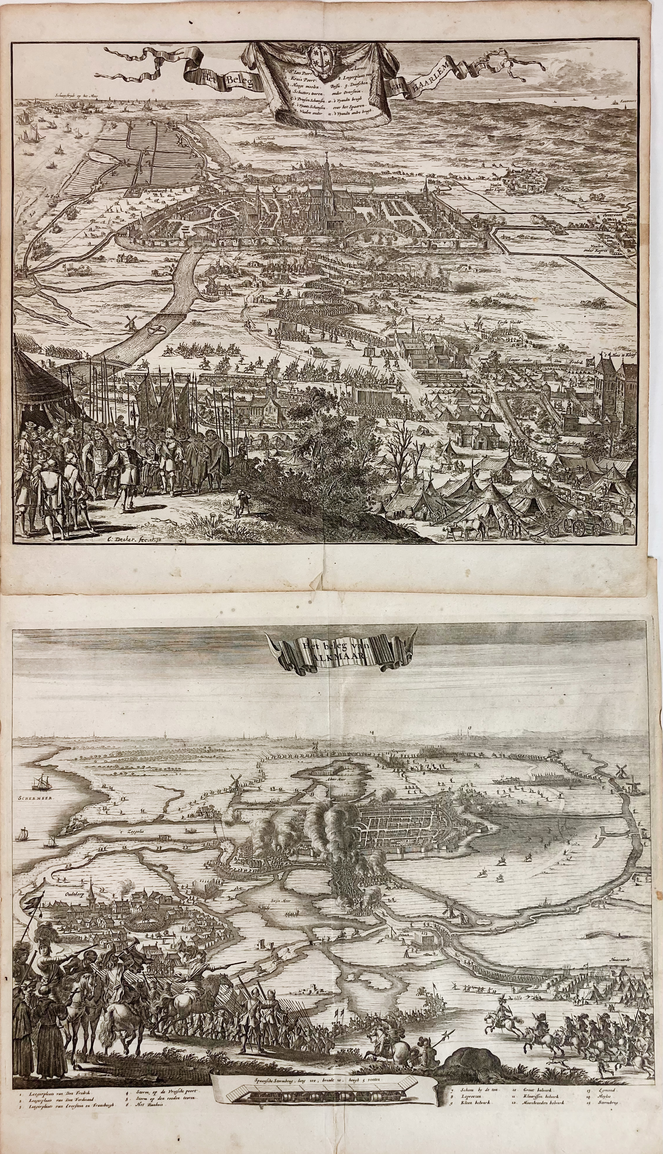
LOW COUNTRIES -- CITY SIEGES/FORTIFICATIONS -- "NOUVELLE CARTE representant la Ville de Bolduc en plan, avec ses Rempars, Fossez, Forterelles d'alentour, etc. (…)". Amst., Joh. Blaeu, n.d. (1649). Plain engr. map of 's-Hertogenbosch w. surroundings after J. Prempart. 390 x 518 mm. -- Added: "HET BELEG VAN HAARLEM" - "HET BELEG VAN ALKMAAR" - (Amst., 1703). 2 engr. bird's eye views by C. Decker on the sieges of Haarlem and Alkmaar, deriving from 'Geschiedenissen der Vereenigde Nederlanden, sedert den aanvang van die Republyk (…)' by J. Le Clerc. Each 274 x 360 mm. -- And 1 o. (4).
€ 90
result € 80
Back

