Lot 485
485
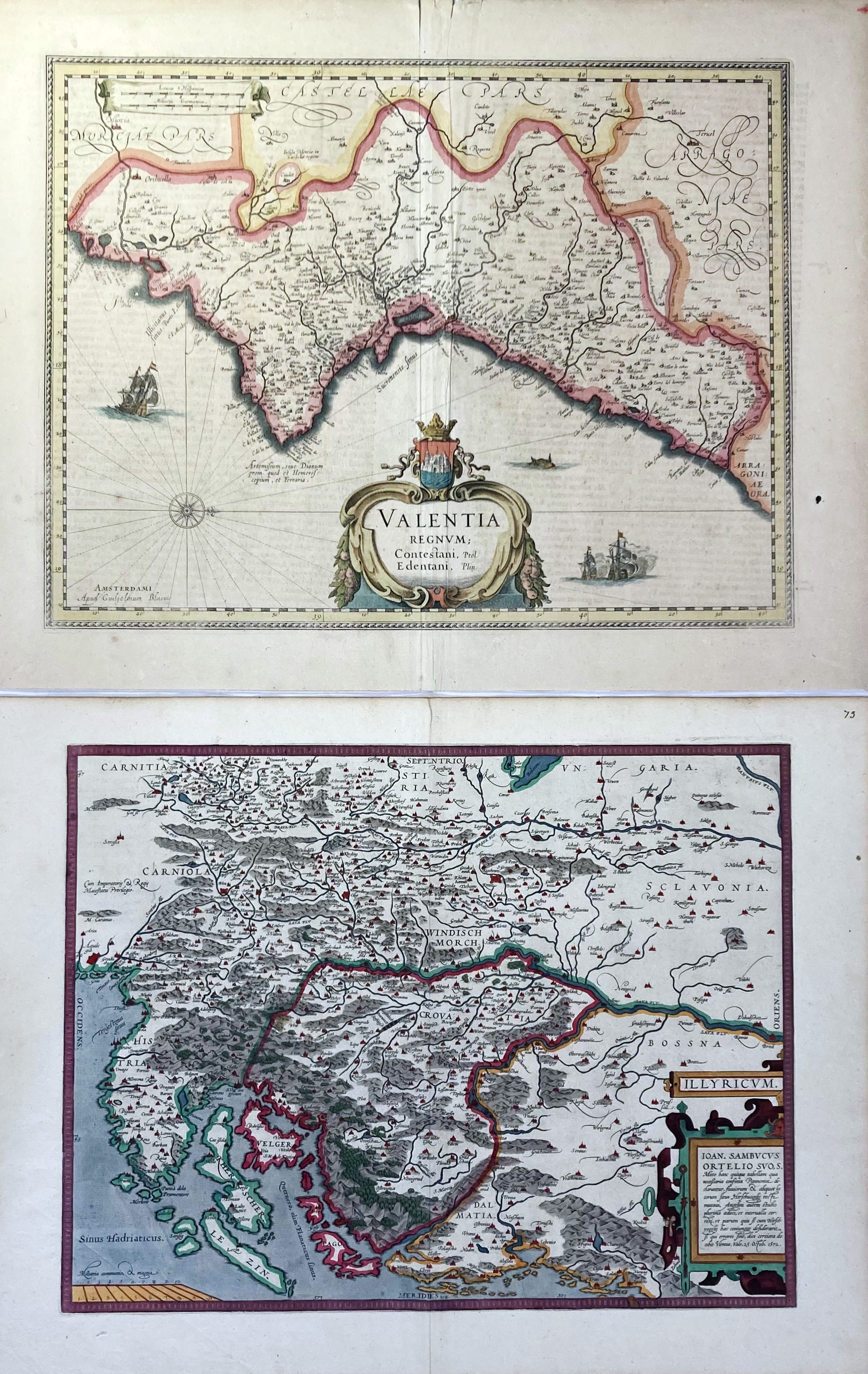
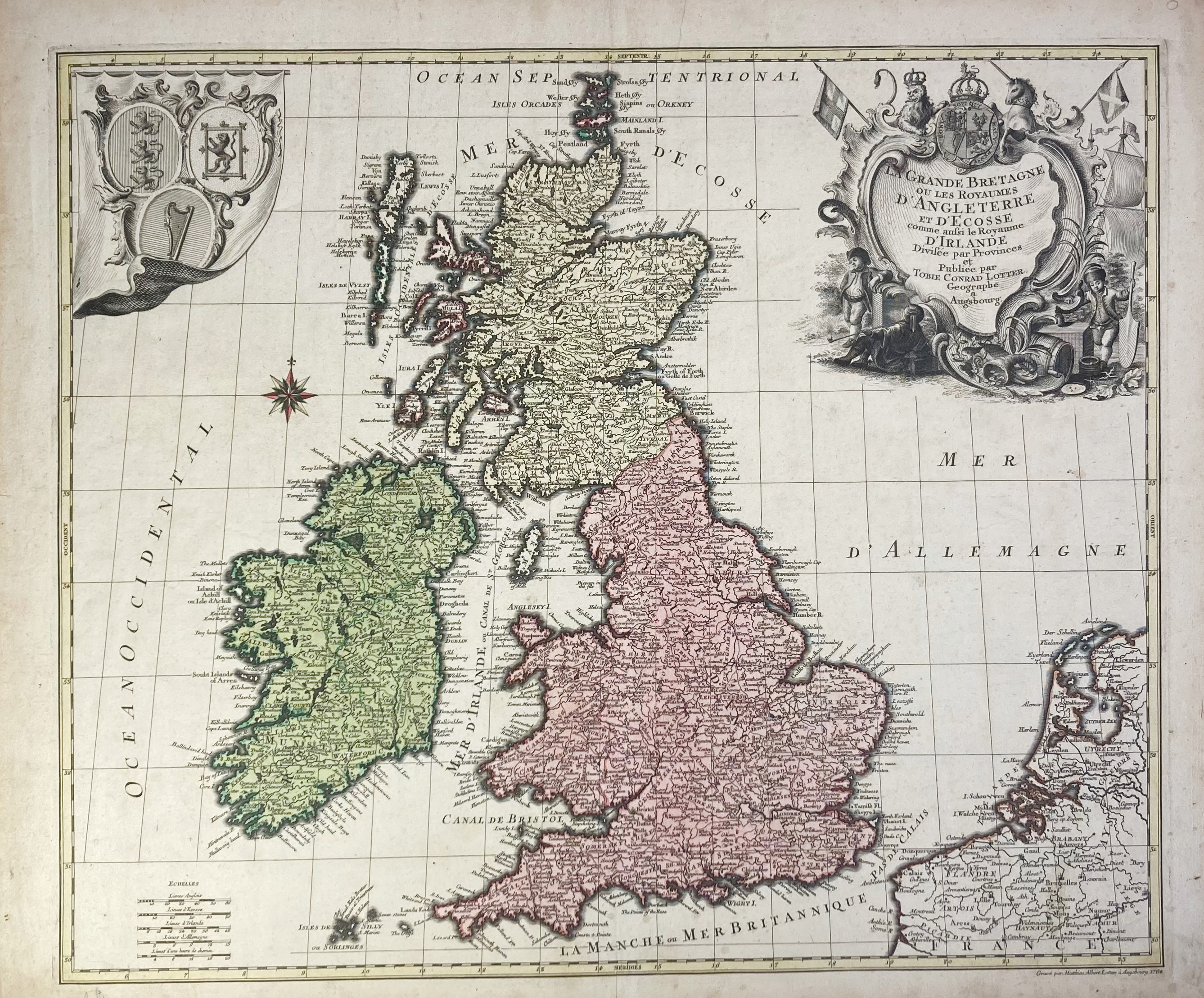
EUROPE -- "VALENTIA REGNUM (…)". Amst., G. Blaeu, (1635). Handcold. engr. map w. compass rose, sea monster, ships in full sea and cartouche. 385 x 500 mm. (A few sm. marg. tears/chips, sm. stain in right margin, rep. on fold, sl. browned). -- "ILLYRICUM". (Antw., Ortelius, 1579). Handcold. engr. map after J. Sambucus from Ortelius’s 'Theatrum Orbis Terrarum'. 365 x 470 mm. -- "LA GRANDE BRETAGNE ou les Royaumes d'Angleterre et d'Ecosse comme aussi le Royaume D'Irlande divisée par Provinces". Augsburg, (c. 1764). Handcold. engr. map by T.L. Lotter. 495 x 580 mm. (Margins a bit thumbed/soiled in places). -- And 2 o. (5).
Ad 1: Dutch text on v°. V.d. Krogt II, 6155:2. Ad 2: Latin text on v°. V.d. Broecke, 144 (1579L(B)73).€ 180
result € 190
Back

