Lot 476
476
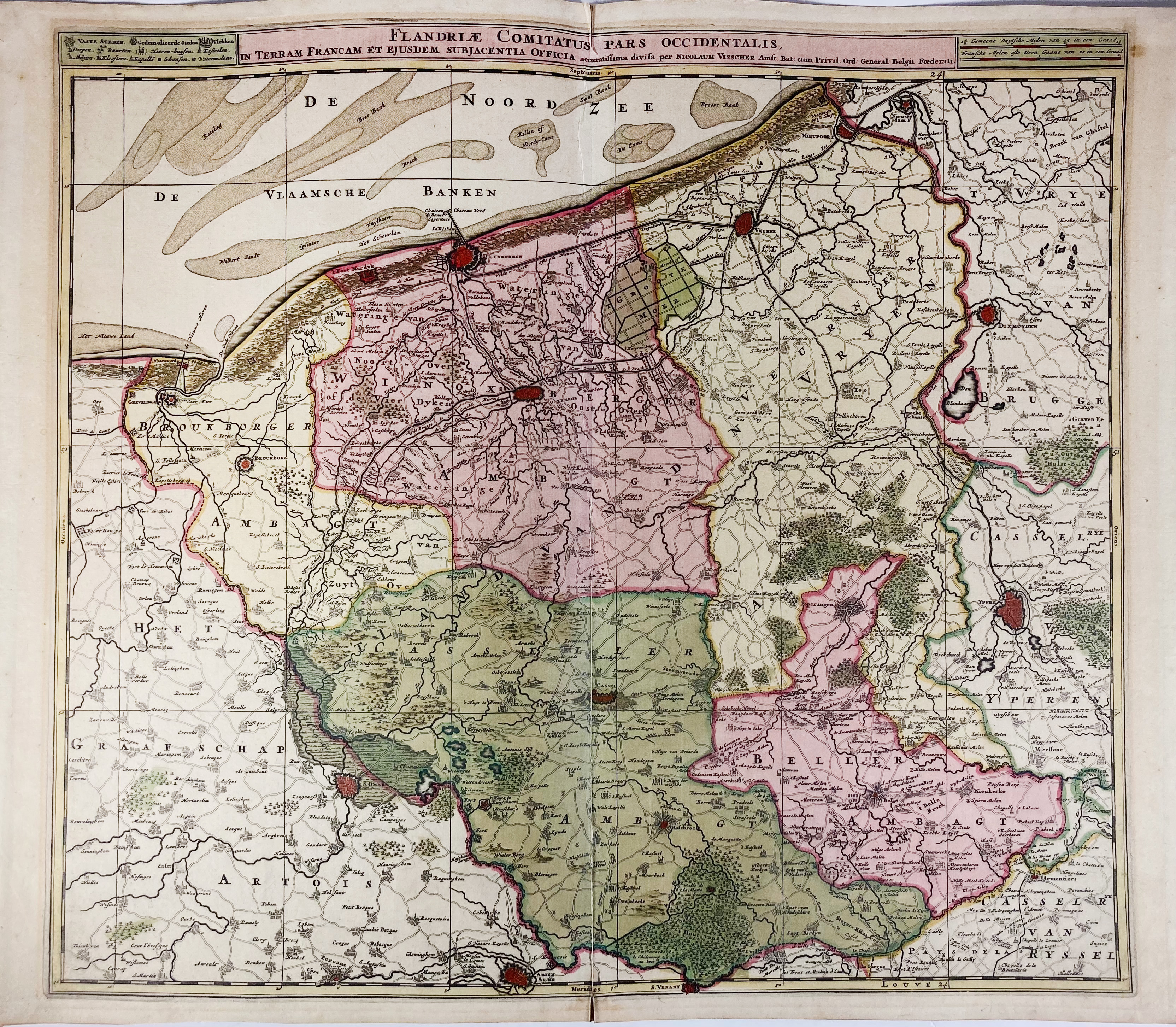
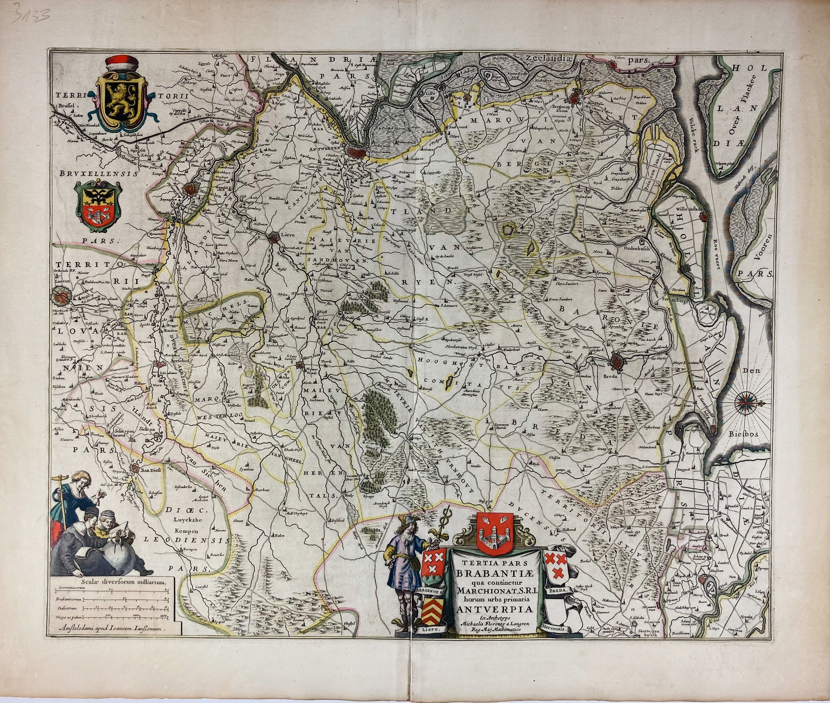
BELGIUM -- "FLANDRIÆ COMITATUS Pars Occidentalis, (…)". Amst., N. Visscher, (c. 1698). Engr. map in cont. colouring. 510 x 570 mm. (A bit age-toned, traces of former framing, lower part central fold split). -- Added: "TERTIA PARS BRABANTIÆ qua continetur Marchionat. S.R.I. horum urbs primaria Antverpia". Amst., J. Janssonius, (1652-58). Engr. map in cont. colouring. 420 x 522 mm. -- And 5 o. maps of (parts of) Belgium, published by Visscher, Danckerts, Blaeu and Ottens. (7).
€ 300
result € 280
Back