Lot 999
999
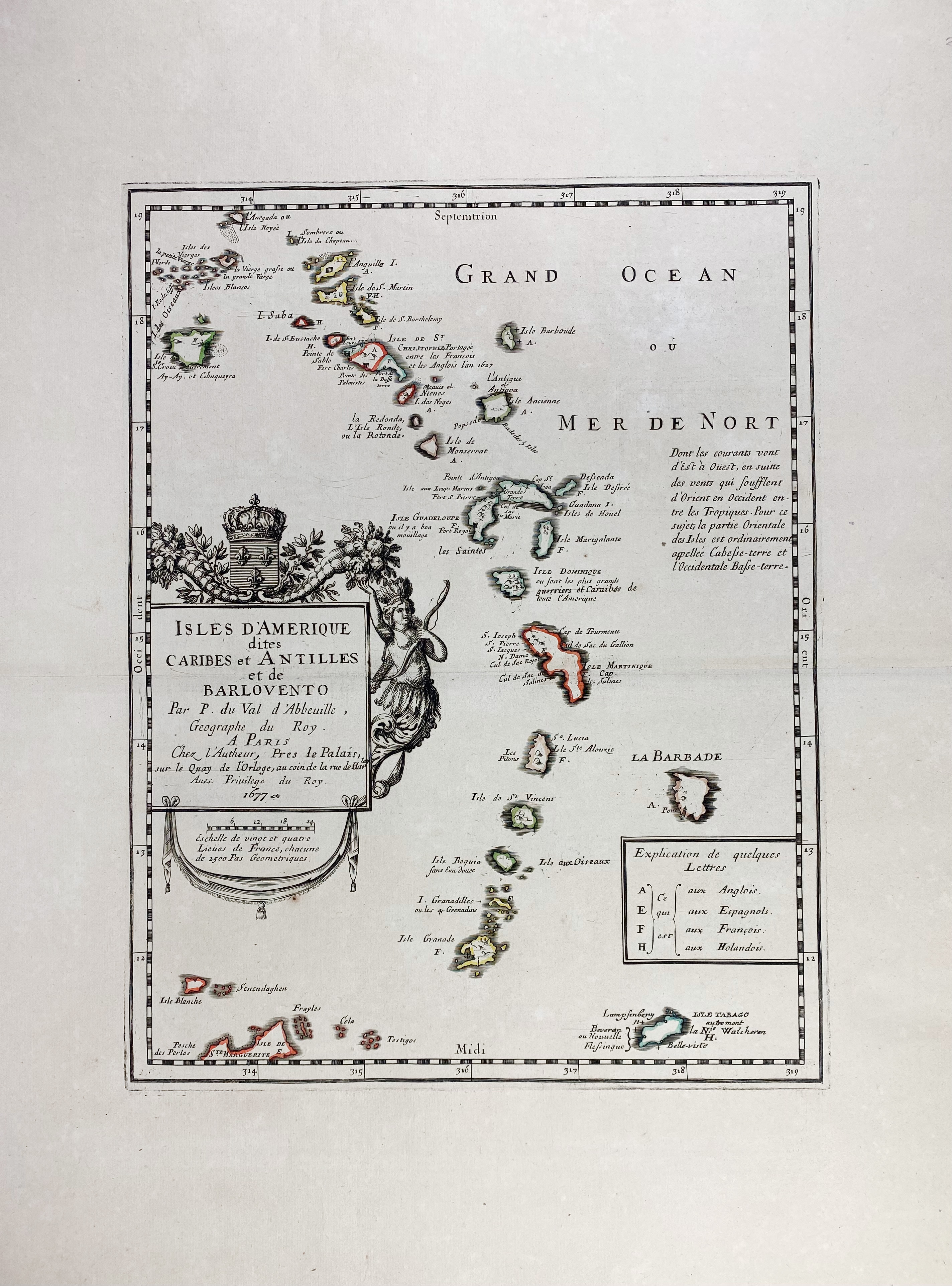
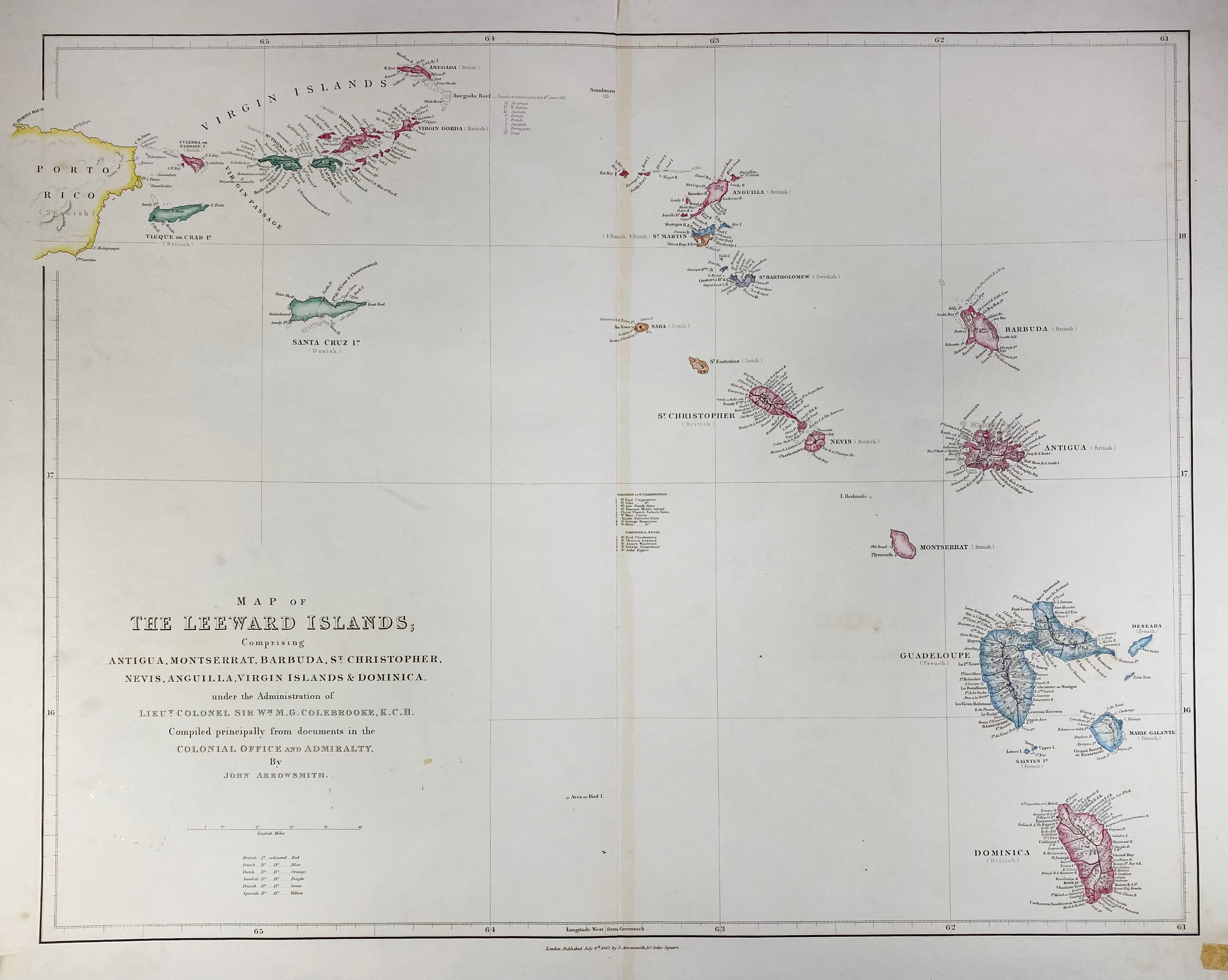
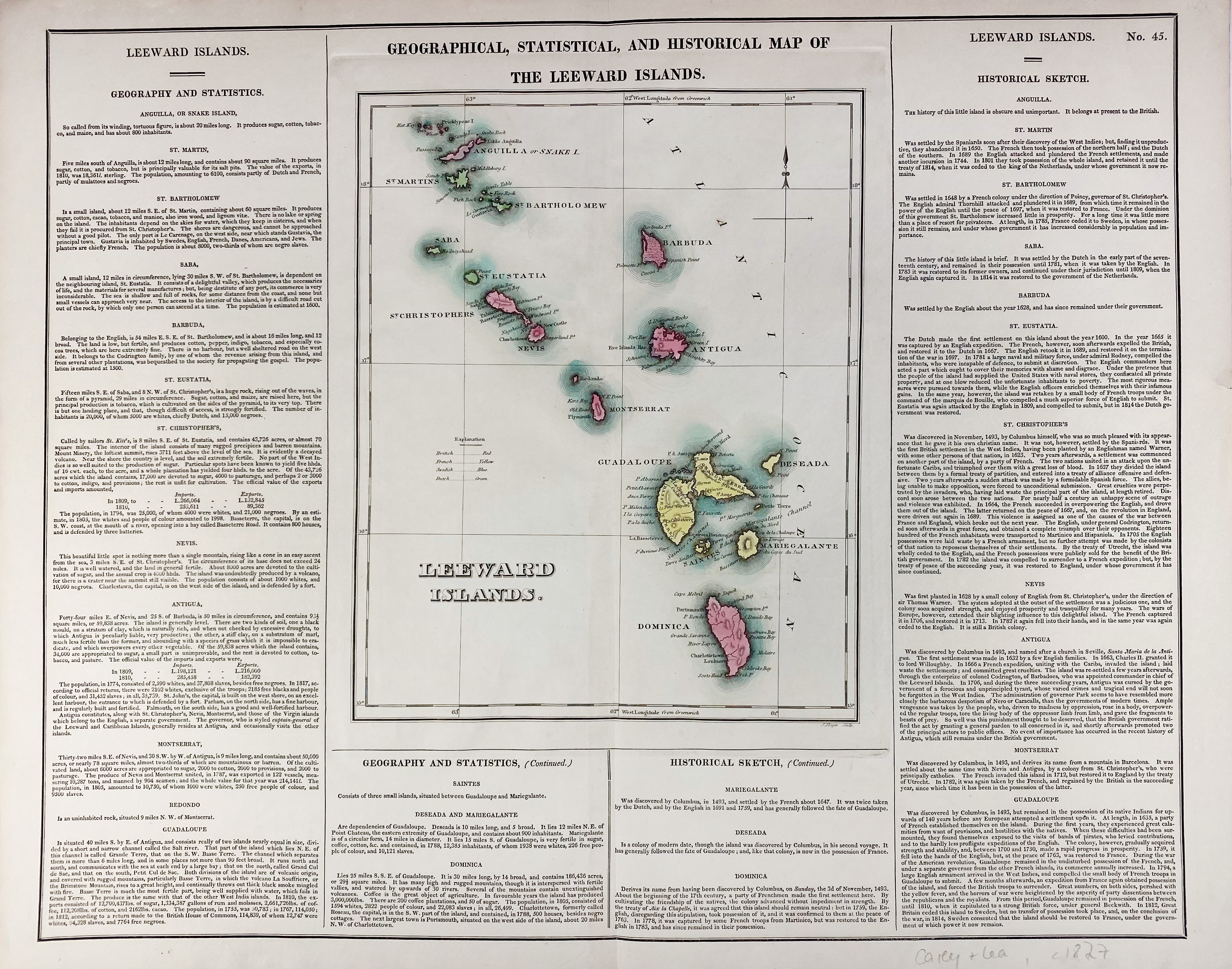
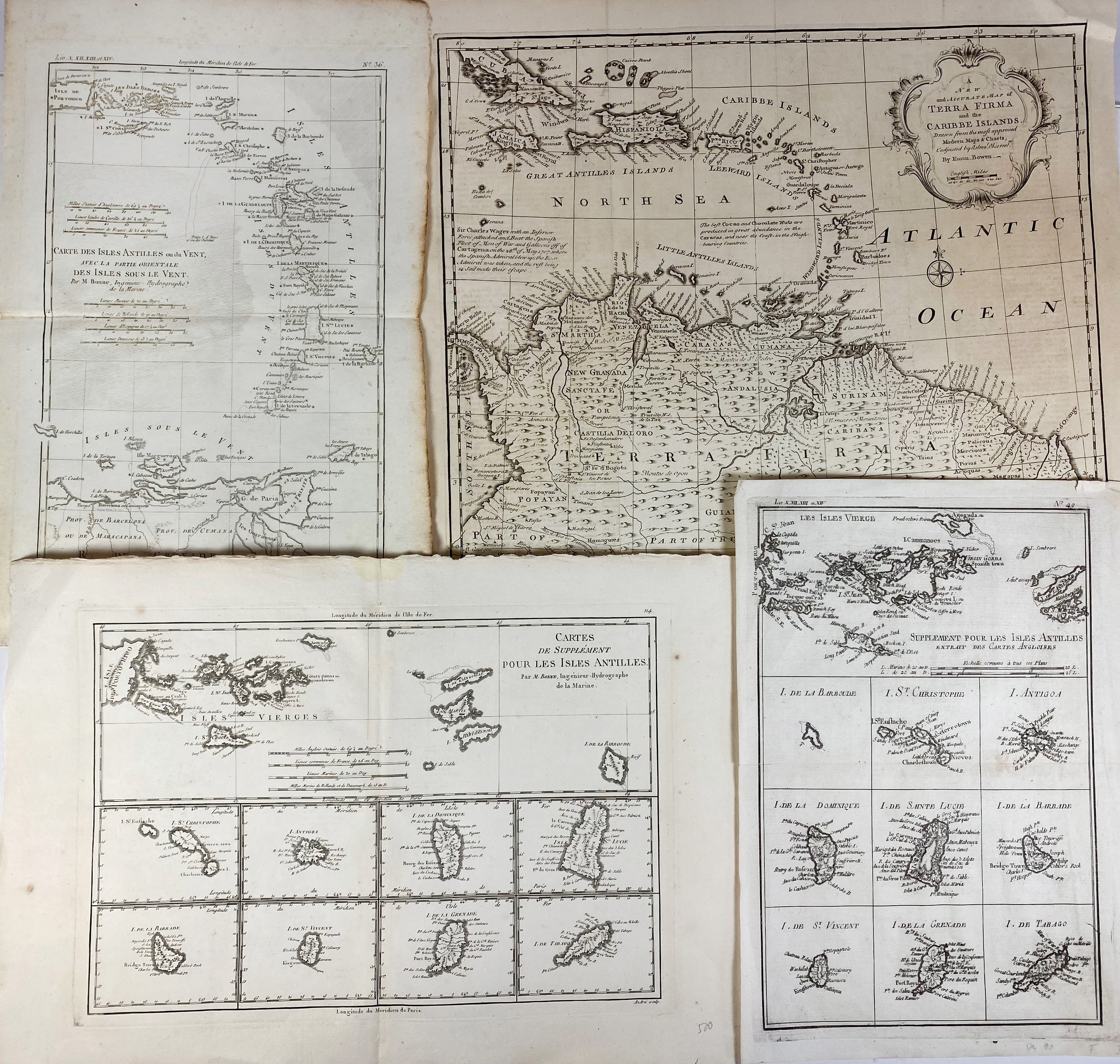
SOUTH AMERICA -- CARIBBEAN -- "ISLES D'AMERIQUE dites Caribes et Antilles et de Barlovento. Par., 1677. Engr. map by P. du Val d'Abbeville, cold. in outlines. 345 x 265 mm. -- "MAP OF THE LEEWARD ISLANDS". Lond., 1842. Engr. handcold. map by J. Arrowsmith. 463 x 590 mm. (Margins split in places, lower blank corners cut and with small piece of tape in richt corner). -- "GEOGRAHICAL, STATISTICAL, and historical map of the Leeward Islands". (Lond., c. 1827). Handcold. engr. map surrounded by text. 290 x 235 mm (image size). -- "A NEW AND ACCURATE MAP OF TERRA FIRMA and the Caribbe Islands". (1747). Engr. map by E. Bowen. 357 x 423 mm. -- And 3 o. smaller maps. (7).
€ 180
result € 140
Back


