Lot 995
995
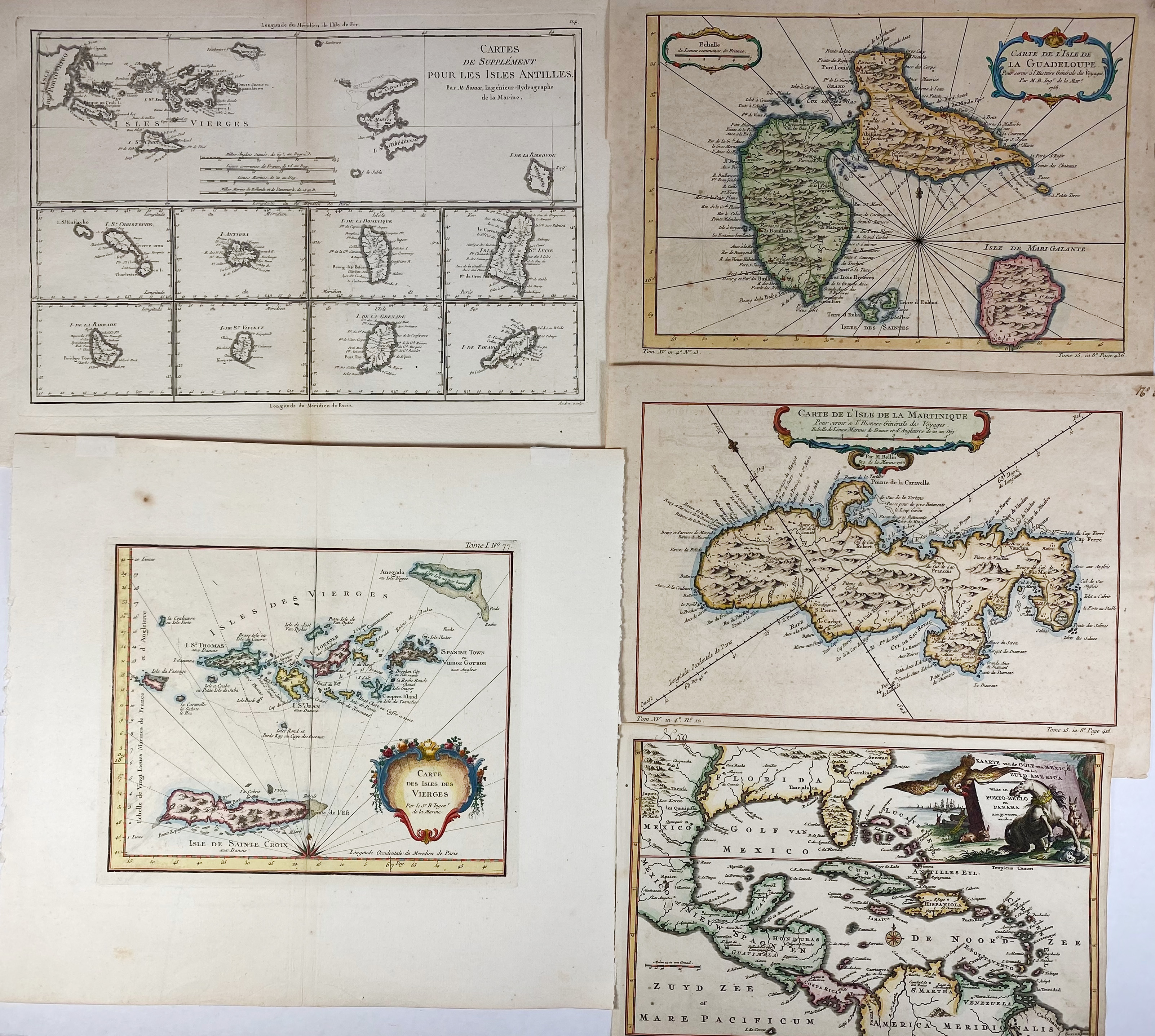
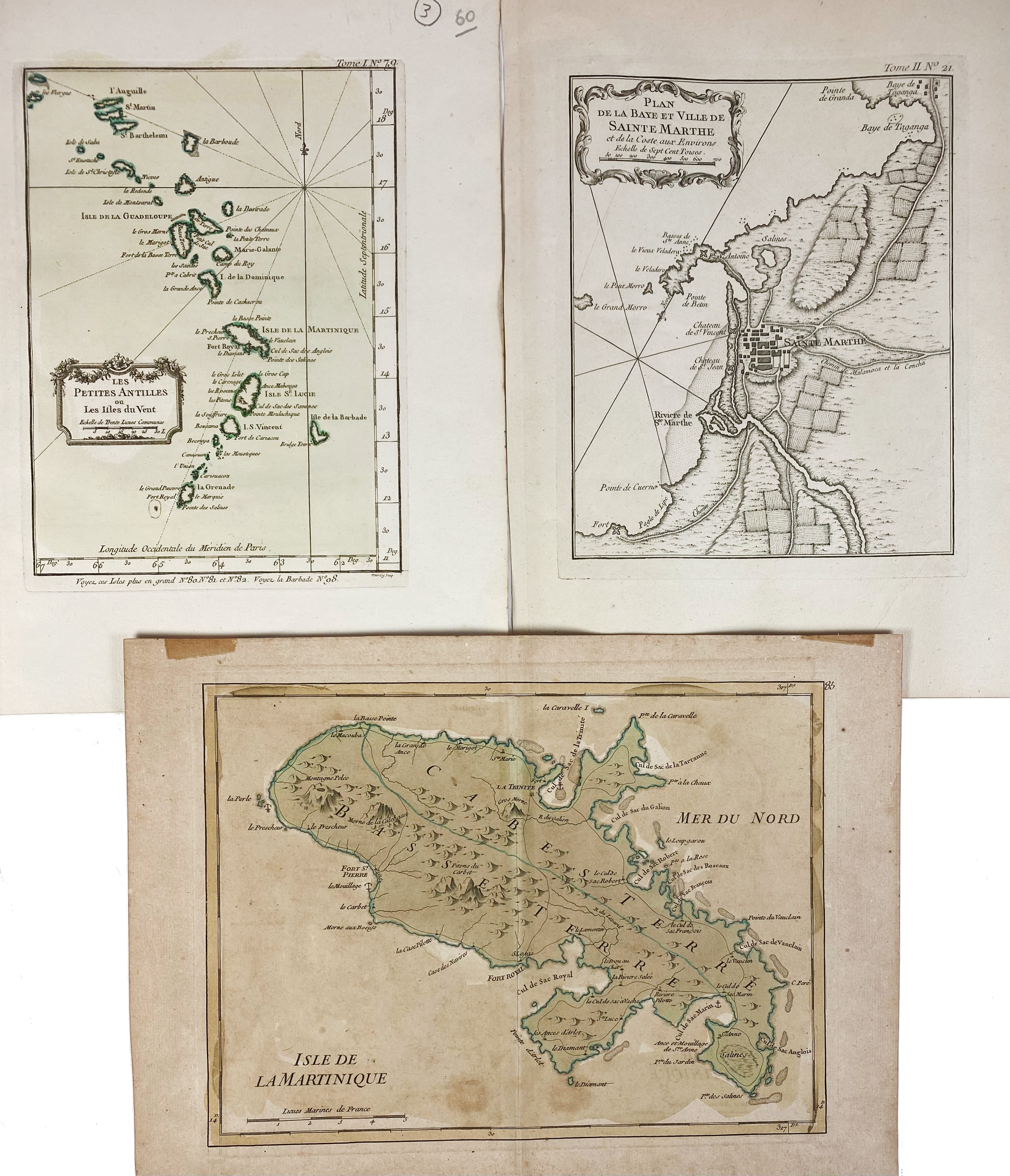
SOUTH AMERICA -- CARIBBEAN -- "CARTE DE L'ISLE de la Martinique". (Par., 1764). Handcold. engr. map by J.N. Bellin. 216 x 320 mm. (A bit browned/foxed). -- "CARTE DE L'ISLE de la Guadeloupe". (Par., 1764). Handcold. engr. map by J.N. Bellin. 218 x 323 mm. (A bit browned/foxed). -- "CARTE DES ISLES DES VIERGES". Par., (1764). Handcold. engr. map by J.N. Bellin. 210 x 255 mm. -- "PETITES ANTILLES ou les Isles du Vent". Par., (1764). Handcold. engr. map by J.N. Bellin. 230 x 170 mm. -- And 4 o. (8).
€ 240
result € 240
Back

