Lot 969
969
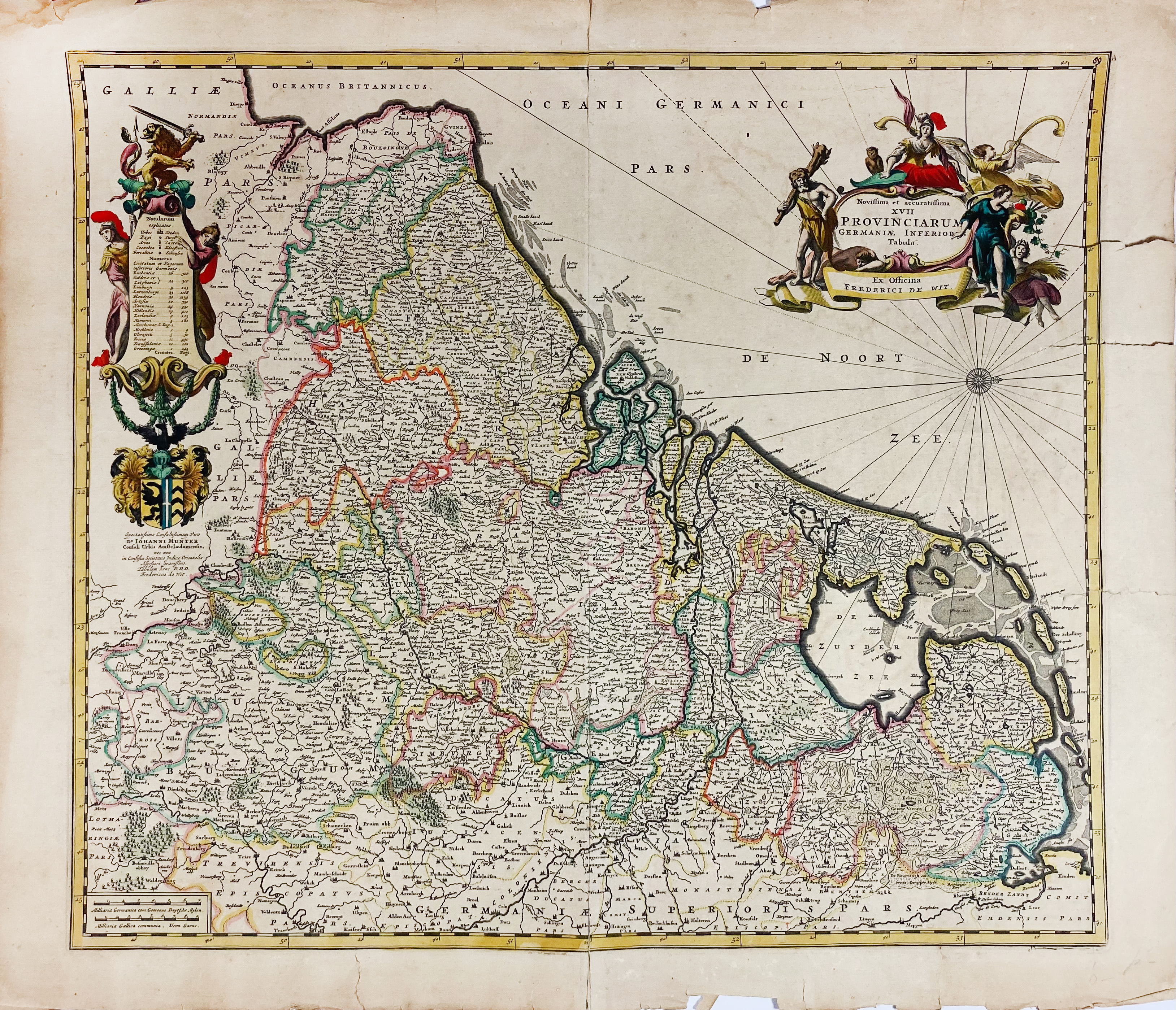
LOW COUNTRIES -- "NOVISSIMA ET ACCURATISSIMA XVII Provinciarum Germaniæ Inferioris Tabula". (Amst.), F. de Wit, n.d. (c. 1680). Engr. map in cont. colouring. 480 x 555 mm. (A bit browned, for a large part split on central vertical fold, and w. 3 tears in right outer margin running into image). - Sold w.a.f., not subject to return.
€ 100
result € 80
Back
