Lot 965
965
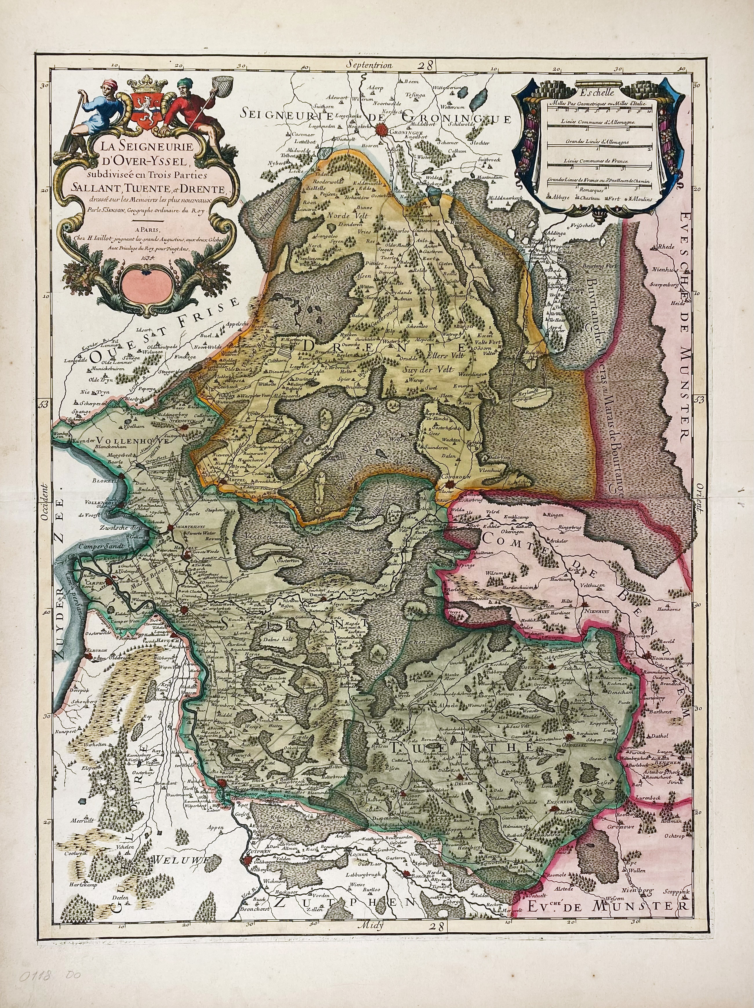
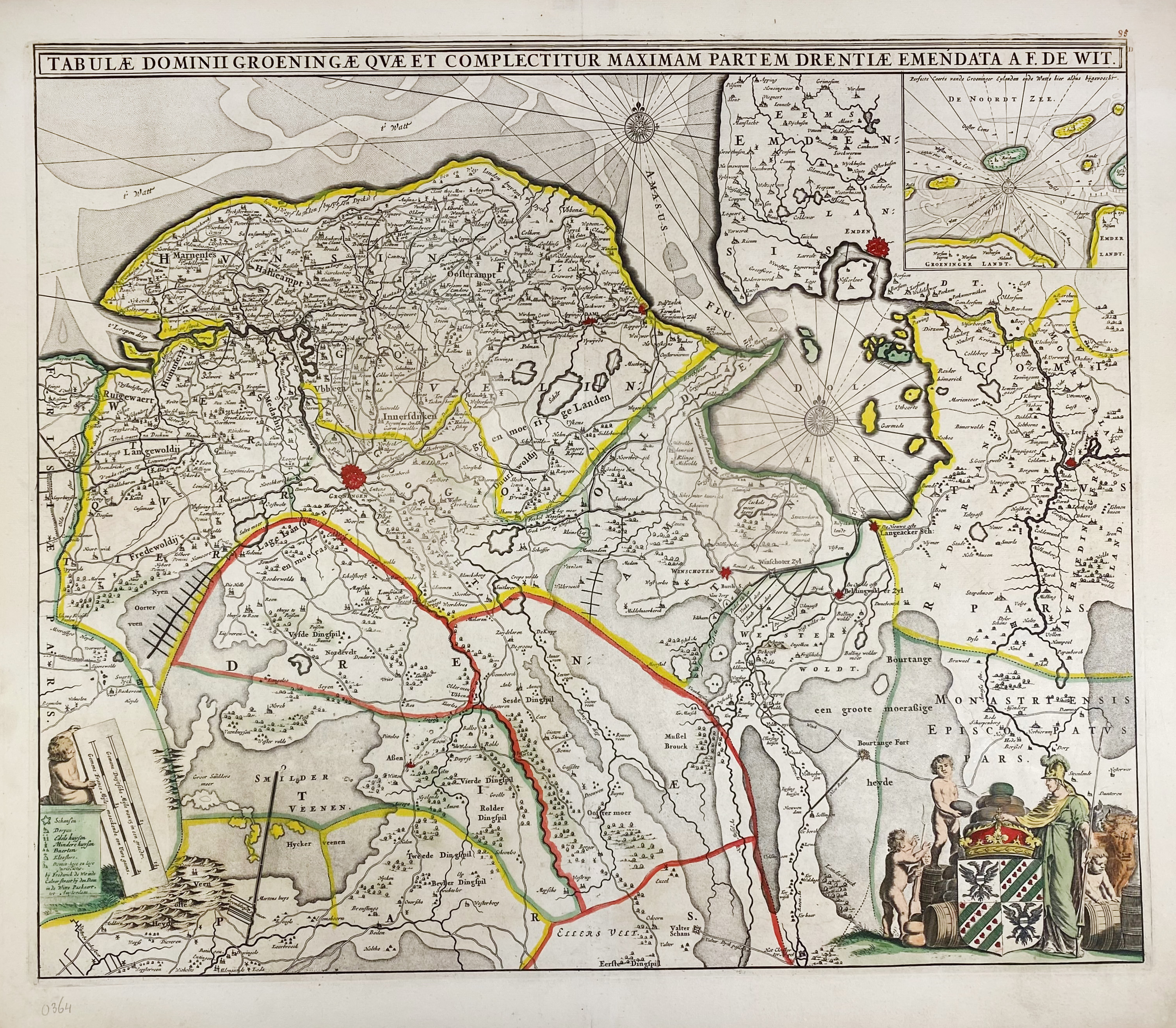
LOW COUNTRIES -- "LA SEIGNEURIE D'OVER-YSSEL subdivisée en trois parties Sallant, Twente, et Drente". Paris, H. Jaillot, 1674. Handcold. engr. map w. 2 cartouches by Sanson. 563 x 428 mm. (Some tiny holes in right blank margin, a bit browned). -- "TABULAE DOMINII GROENINGAE quae et complectitur maximam partem Drentiae". Amst., F. de Wit, (c. 1671). Partly handcold. engr. map w. 2 cartouches, inset map of the Wadden Islands and 2 compass roses. 467 x 553 mm. (2 parts a bit faded/faintly stained). Vredenberg-Alink IV A 24. -- (2).
€ 180
result € 140
Back

