Lot 924
924
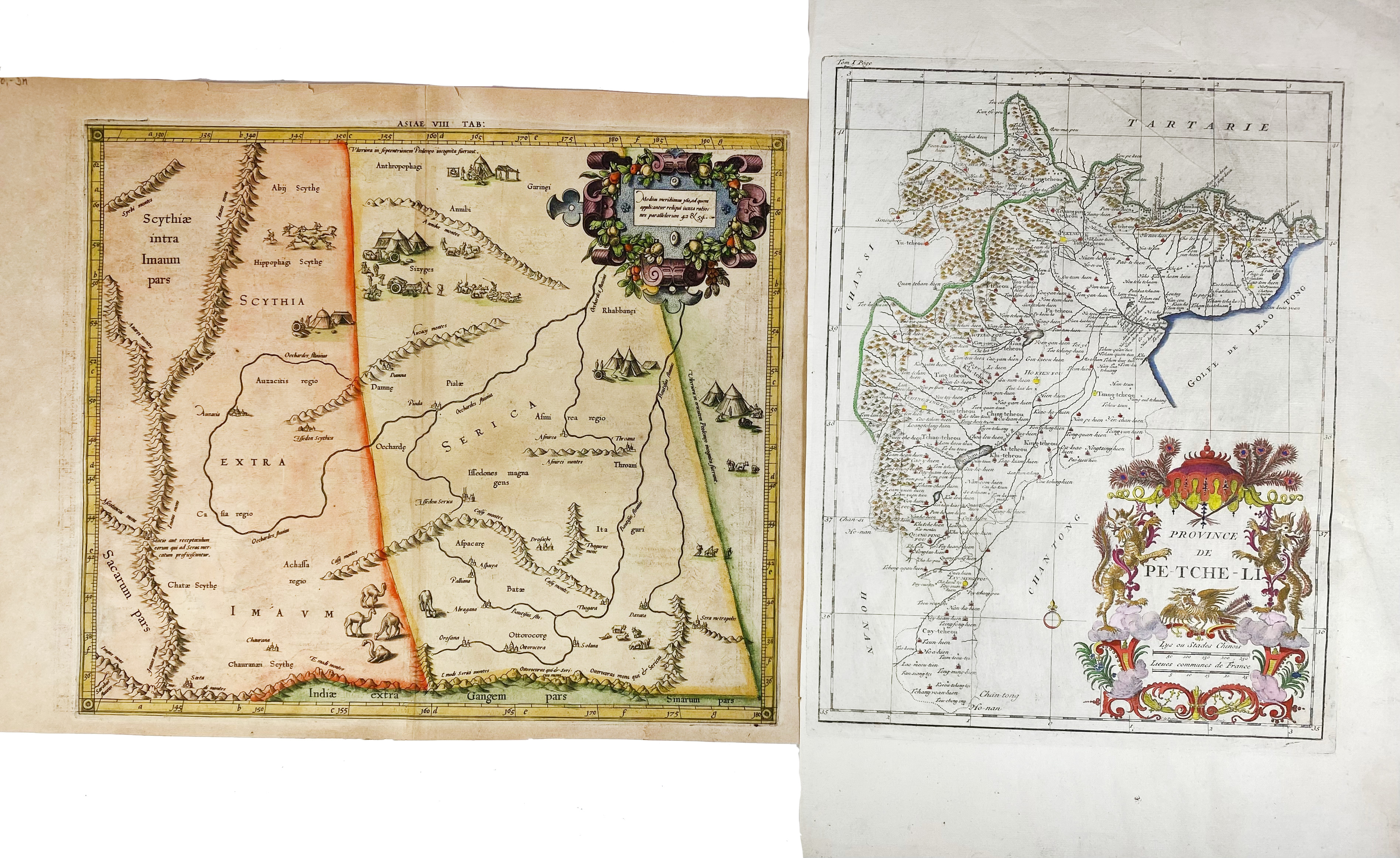
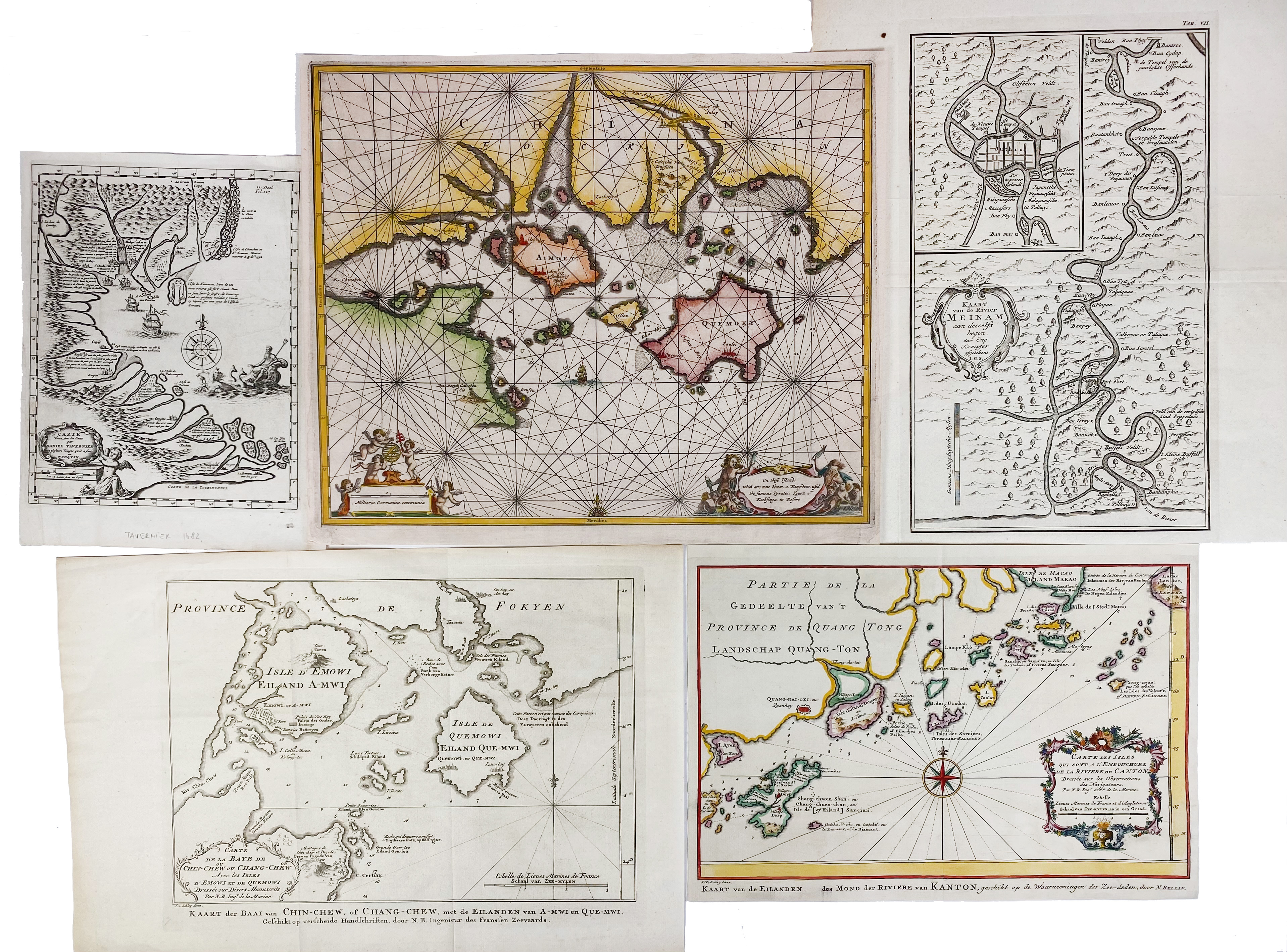
ASIA -- CHINA -- "ASIAE VIII TAB:". (c. 1600). Handcold. engr. map of Central Asia (& Western China). 344 x 405 mm. (A few sm. marg. tears, a bit browned). -- "PROVINCE de Pe-Tche-Li". (Par., c. 1740). Handcold. engr. map. 390 x 305 mm. (Some creases, rep. on v°). -- And 5 o. smaller maps of China. (7).
Ad 1: V.d. Krogt I, 0928:1.1.€ 180
result € 190
Back

