Lot 919
919
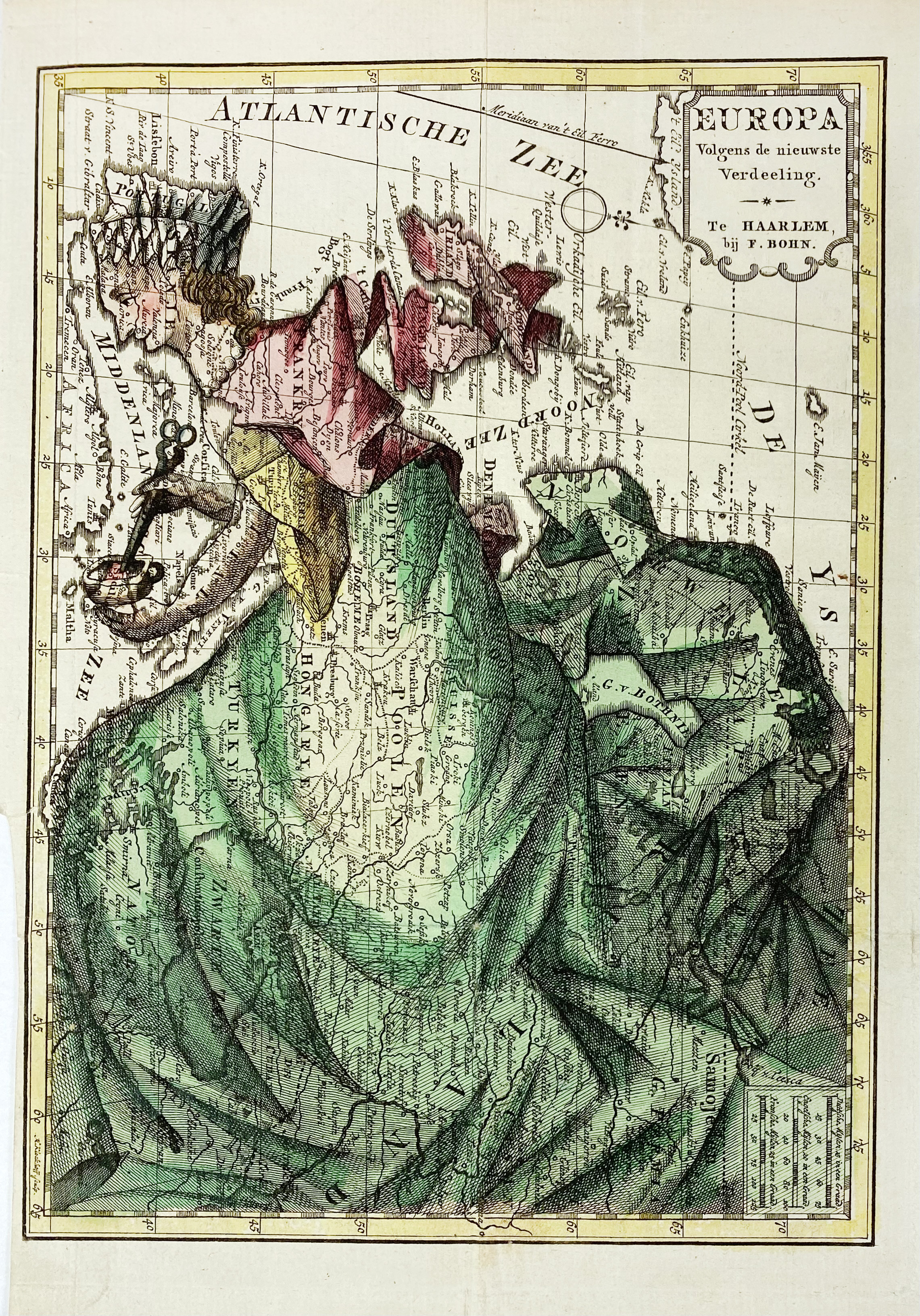
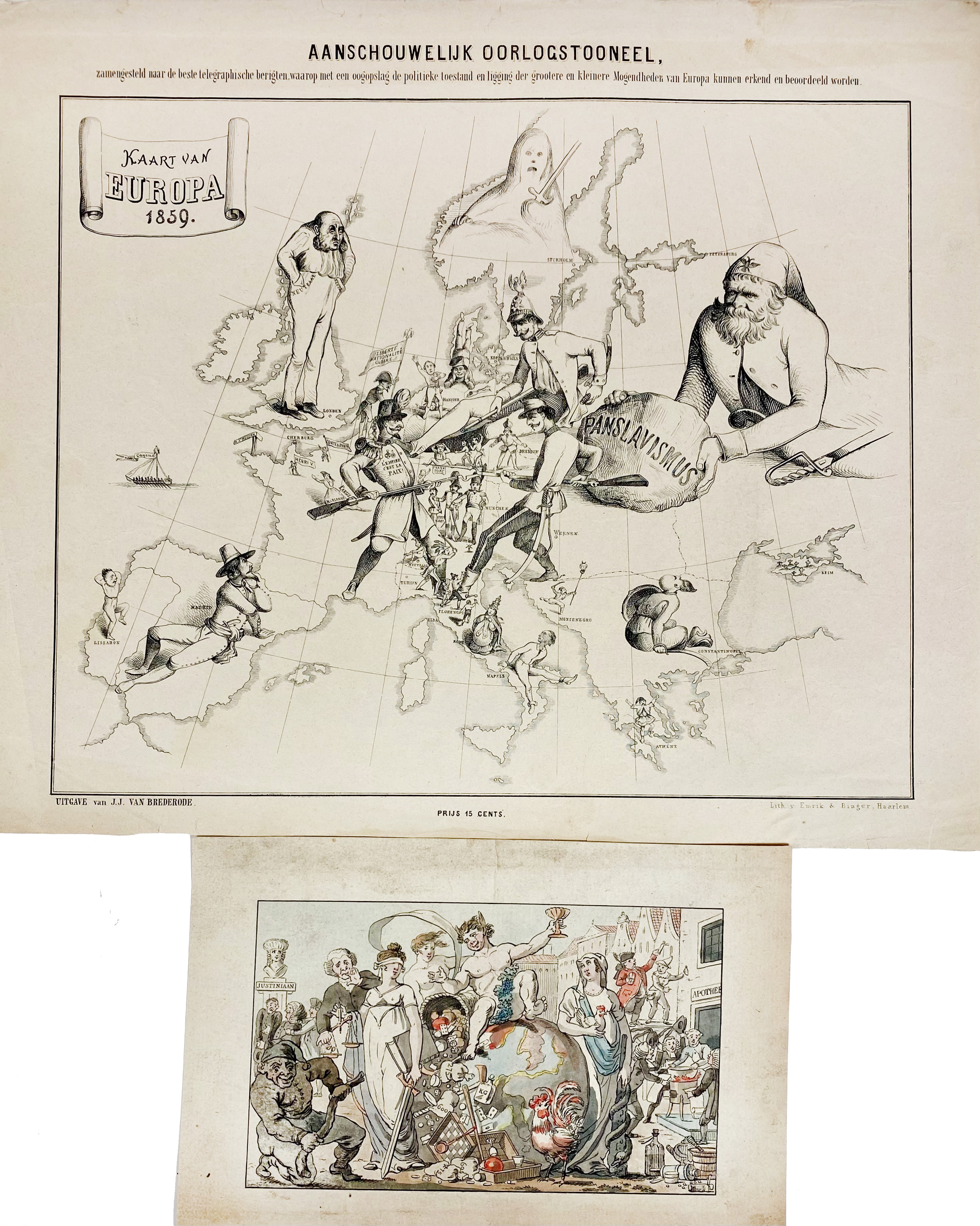
ALLEGORICAL MAP -- "EUROPA Volgens de nieuwste Verdeeling". Haarlem, F. Bohn, (1794). Cont. handcold. allegorical engr. map. 237 x 167 mm. (Left blank margin (partly) cut short and w. 2 tiny tears, sm. repair on v° right margin). -- And 2 o. caricatural plates. (3).
The allegorical map shows Europe as a regal queen, but this anti-Napoleonic image demotes Europa from a virgin queen to a homely middle-aged housewife. The figure is superimposed over a map that includes a surprising amount of detail. Spain & Portugal comprise her head, Italy is her left arm, stirring with her right arm (Corsica and Sardinia) in a pot (Sicily). Her scarf forms the British Isles, and the rest of the continent is encompassed in her flowing dress.€ 200
result € 420
Back

