Lot 597
597
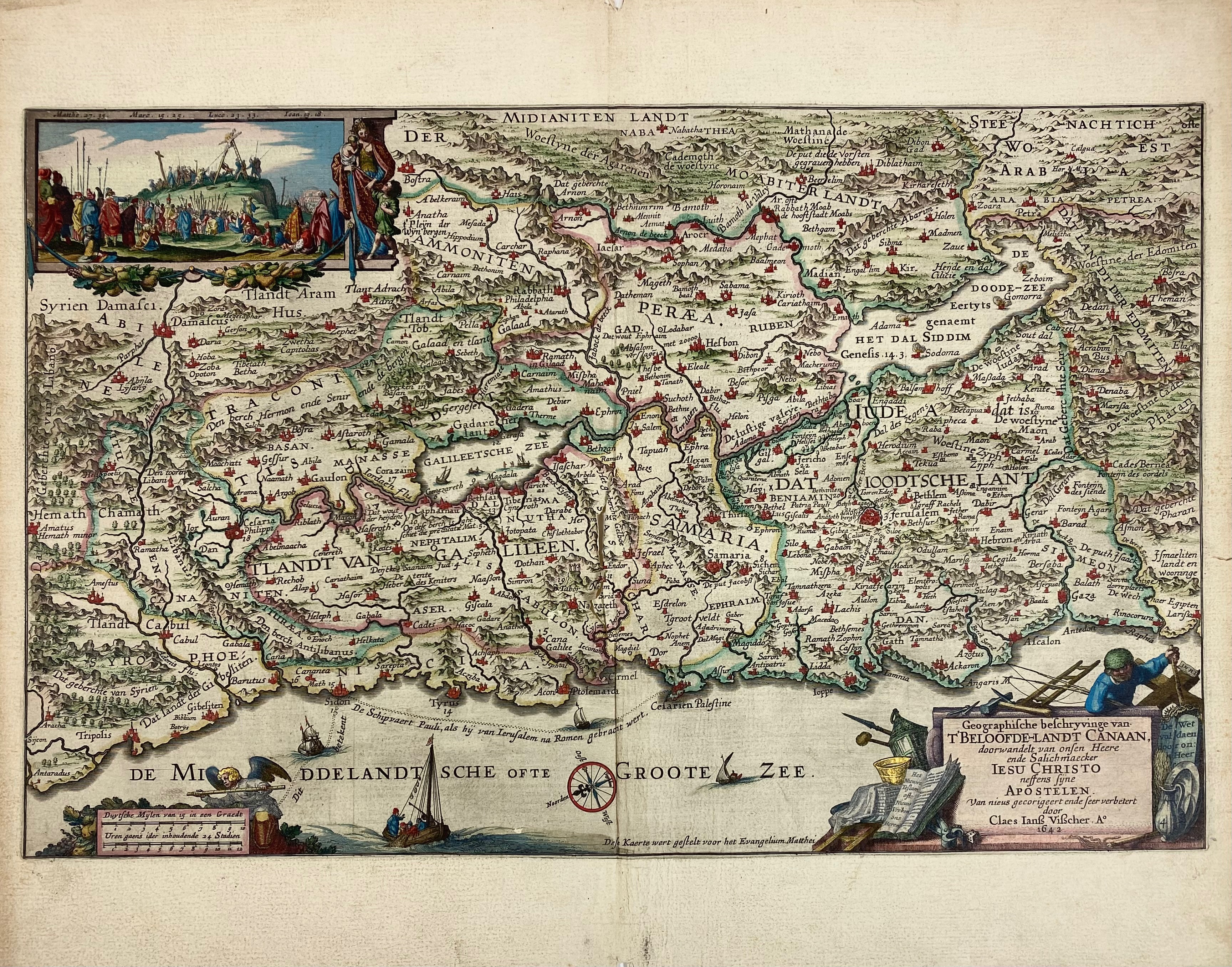
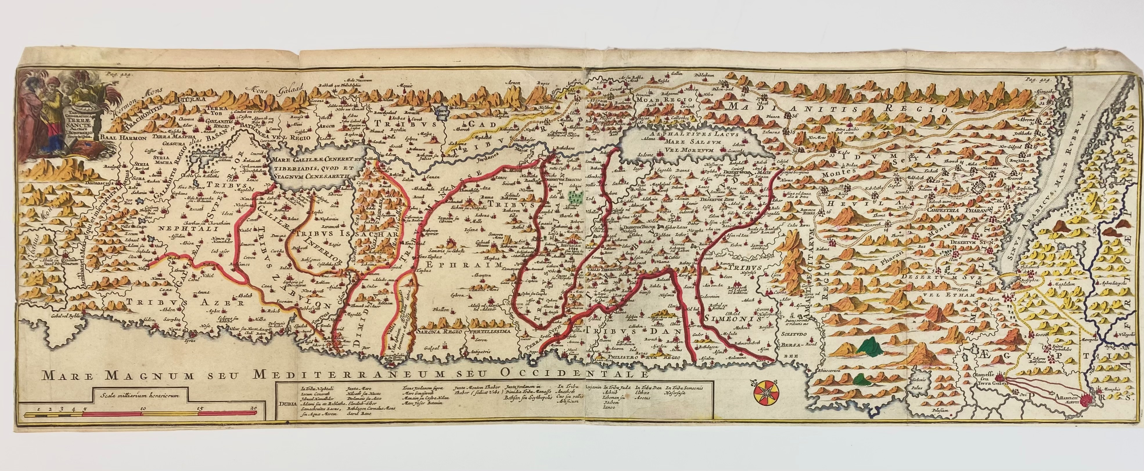
NEAR EAST/MIDDLE EAST -- "GEOGRAPHISCHE BESCHRYVINGE van t'Beloofde-Landt Canaan". (Amst.), 1642. Engraved double-page map by C.J. Visscher of the Holy Land with a crucifixion scene at upper left, in cont. handcolouring. 302 x 472 mm. (Torn on centerfold, but repairable, blank margin a bit creased/chipped). -- "TABULA GEOGRAPHICA Terrae Sanctae". Auctore J. Bonfrerio. (Leeuw., F. Halma, 1709). Engr. map of the Holy Land, in later handcolouring, on 2 conjoined sheets. 210 x 660 mm. (Margins cut short (partly to plate edge), small marg. rep., a few small creases). -- Added: 2 o. (damaged) maps. -- (4).
Poortman & Augusteijn 88-5 (first state); 167-3a.€ 150
result € 220
Back