Lot 584
584
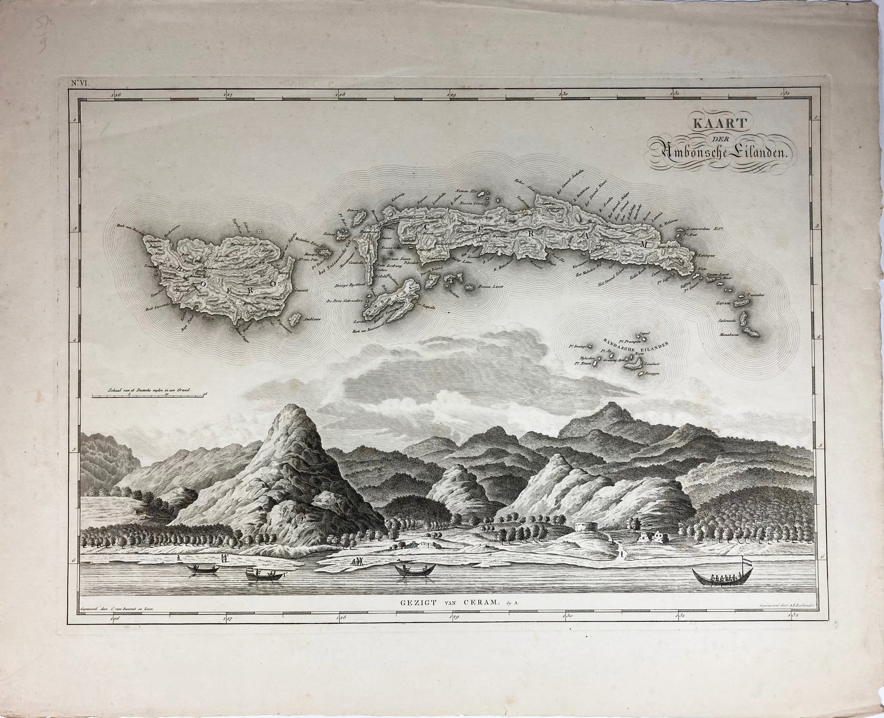
MALAY ARCHIPELAGO -- "KAART DER AMBONSCHE EILANDEN/gezigt van Ceram". (1818). Fine plain engr. view by C. v. Baarsel and Son and A.L. Zeelander after of Ceram and map of Ambon, Ceram, Boero, and the Banda islands in the Moluccas. 397 x 537 mm.
Map nr. 6 (of 12) from J. v.d. Bosch's 'Atlas der Overzeesche Bezittingen', 1818.€ 150
result € 220
Back
