Lot 572
572
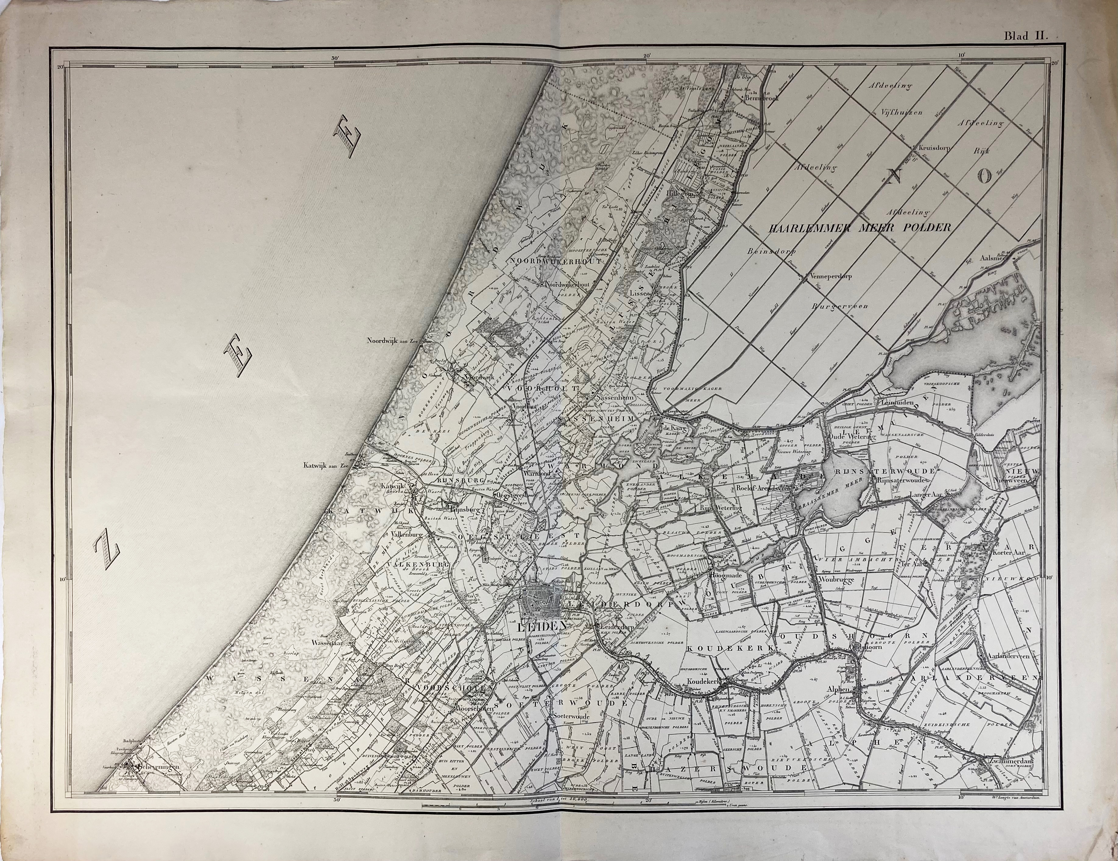
LOW COUNTRIES -- "KAART VAN DE PROVINCIE ZUID HOLLAND. Opgemaakt op last van de Provinciale Staten". ('s-Grav.), 1867. W. double-p. title and 8 double-p. lithogr. maps, each 600 x 790 mm, of the province of Zuid-Holland which all 9 can be conjoined to form 1 large map. Lge-fol. (Small tear in centre of ti.-p., small hole in map 9 (left outer quadrant)). In modern clamshell cloth portfol. w. gilt lettering on spine.
Maps produced in a similar way and on the same scale (1:50,000) as the 'Topographische Militaire Kaart v.h. Koningrijk der Nederlanden'.€ 200
result € 220
Back
