Lot 520
520
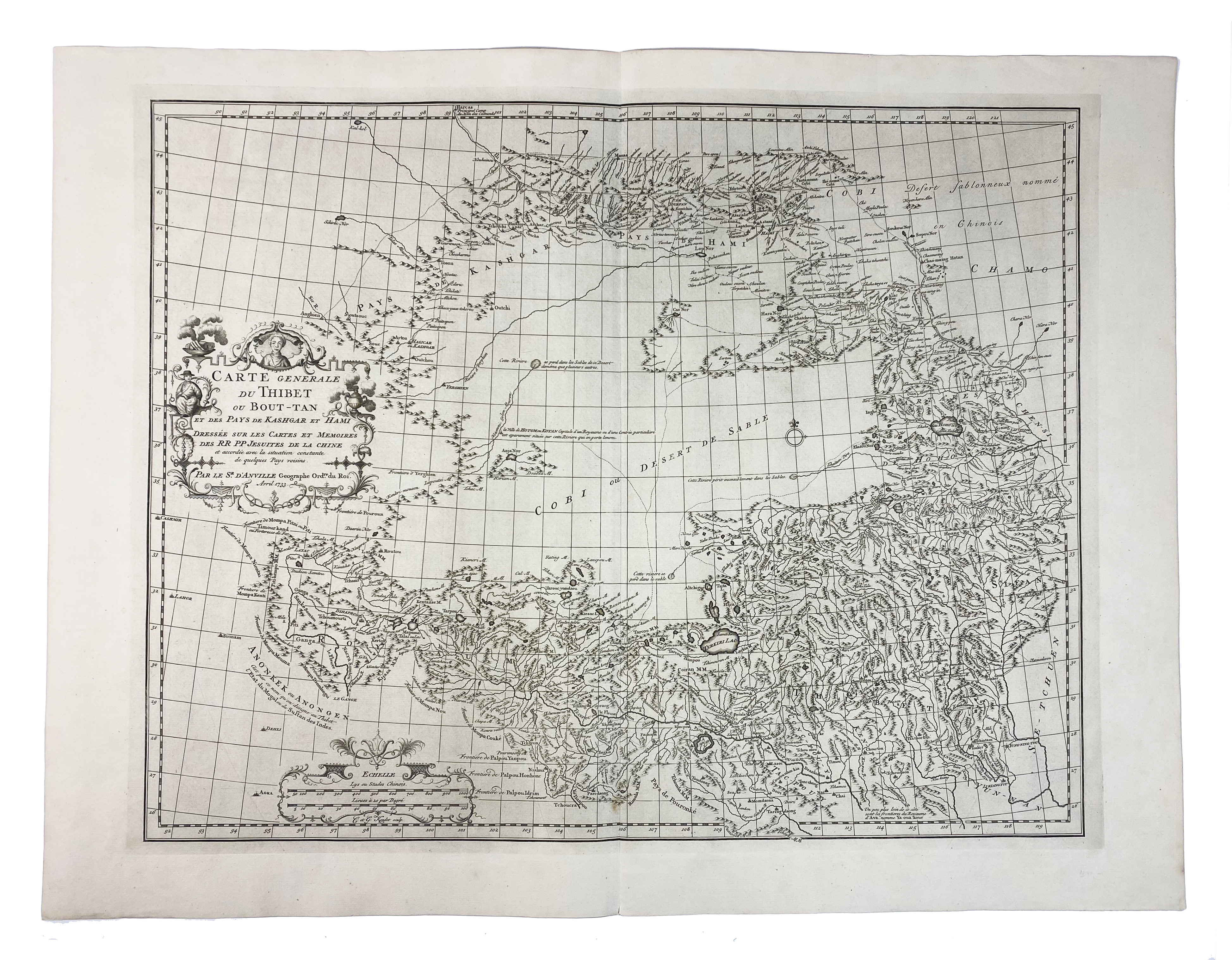
ASIA -- TIBET -- "CARTE GENERALE du Tibet ou Bout-Tan et des pays de Kashgar et Hami". (The Hague), 1733. Engr. plain map w. cartouche by J.B.B. d'Anville. 470 x 600 mm.
From D'Anville's Nouvel Atlas de la Chine (The Hague, 1737). This map is the first accurate cartographic depiction of Tibet available in the western world. - In very good condition.€ 200
result € 160
Back
