Lot 497
497
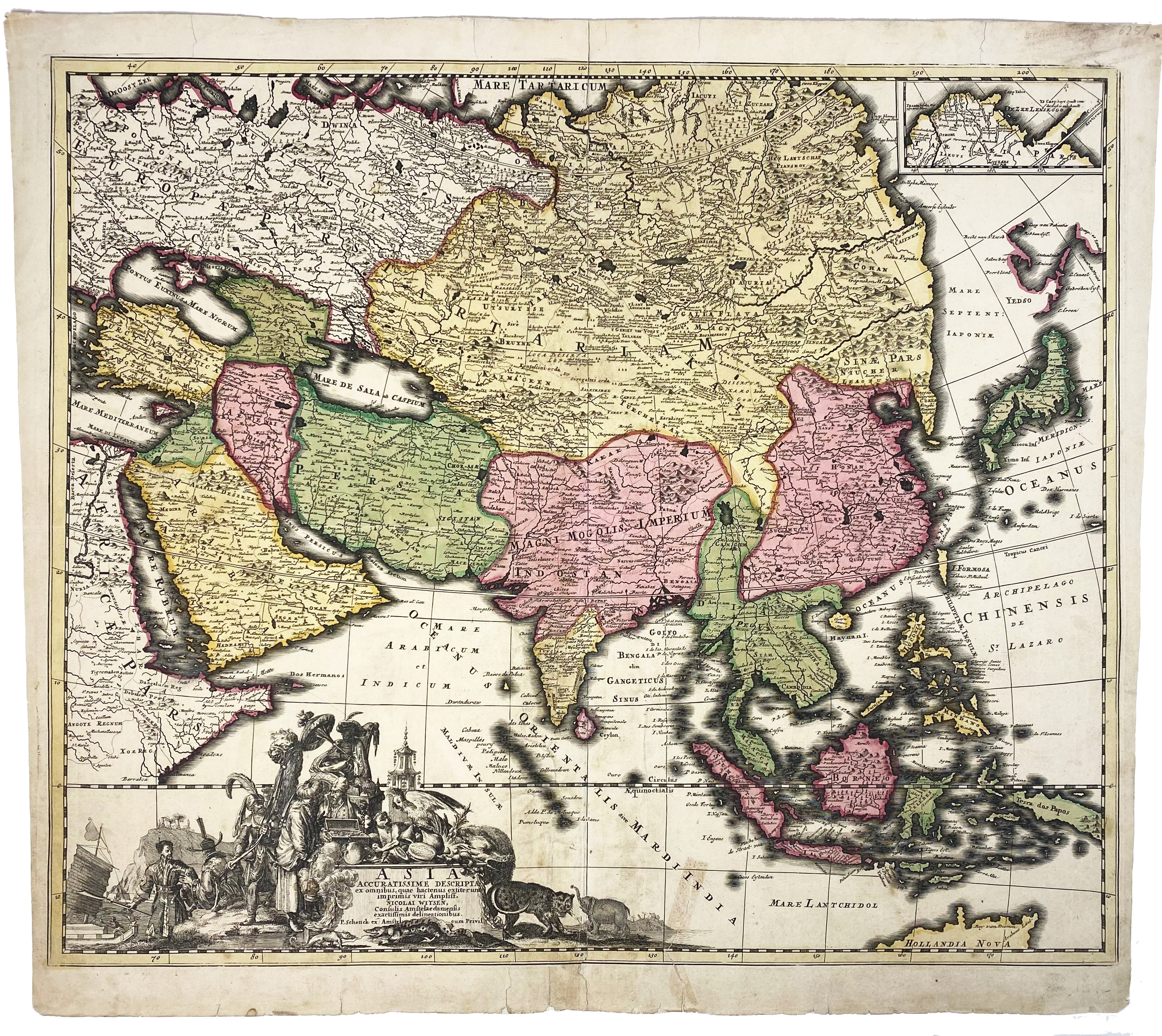
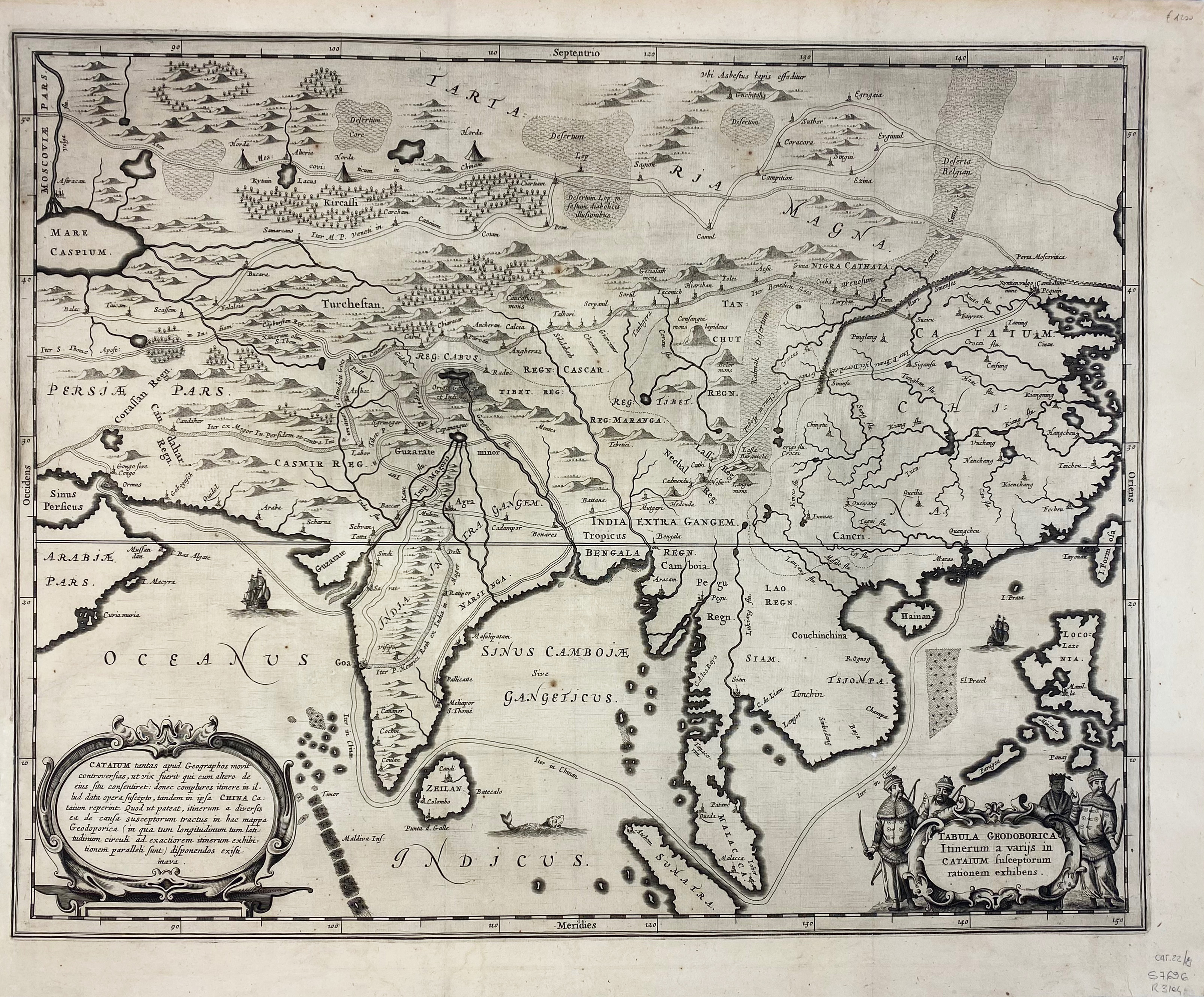
ASIA -- "ASIA ACCURATISSIME DESCRIPTA". Engr. map by N. Witsen, in cont. handcolouring, w. dec. cartouche. Amst., P. Schenck, (c. 1700). 490 x 587 mm. (Some repaired tears/small holes, a few small stains, remnant of tape & of previous hinges). -- "TABULA GEODOBORICA Itinerum a Varijs in Cataium Susceptorum Rationem Exhibens". (c. 1667). Engr. map of Asia depicts the land and sea routes from the Middle East to China and northern Asia. Embellished with two cartouches and Chinese merchants. From Kirchner's 'China Illustrata'. 417 x 525 mm. -- (2).
€ 300
result € 500
Back