Lot 609
609
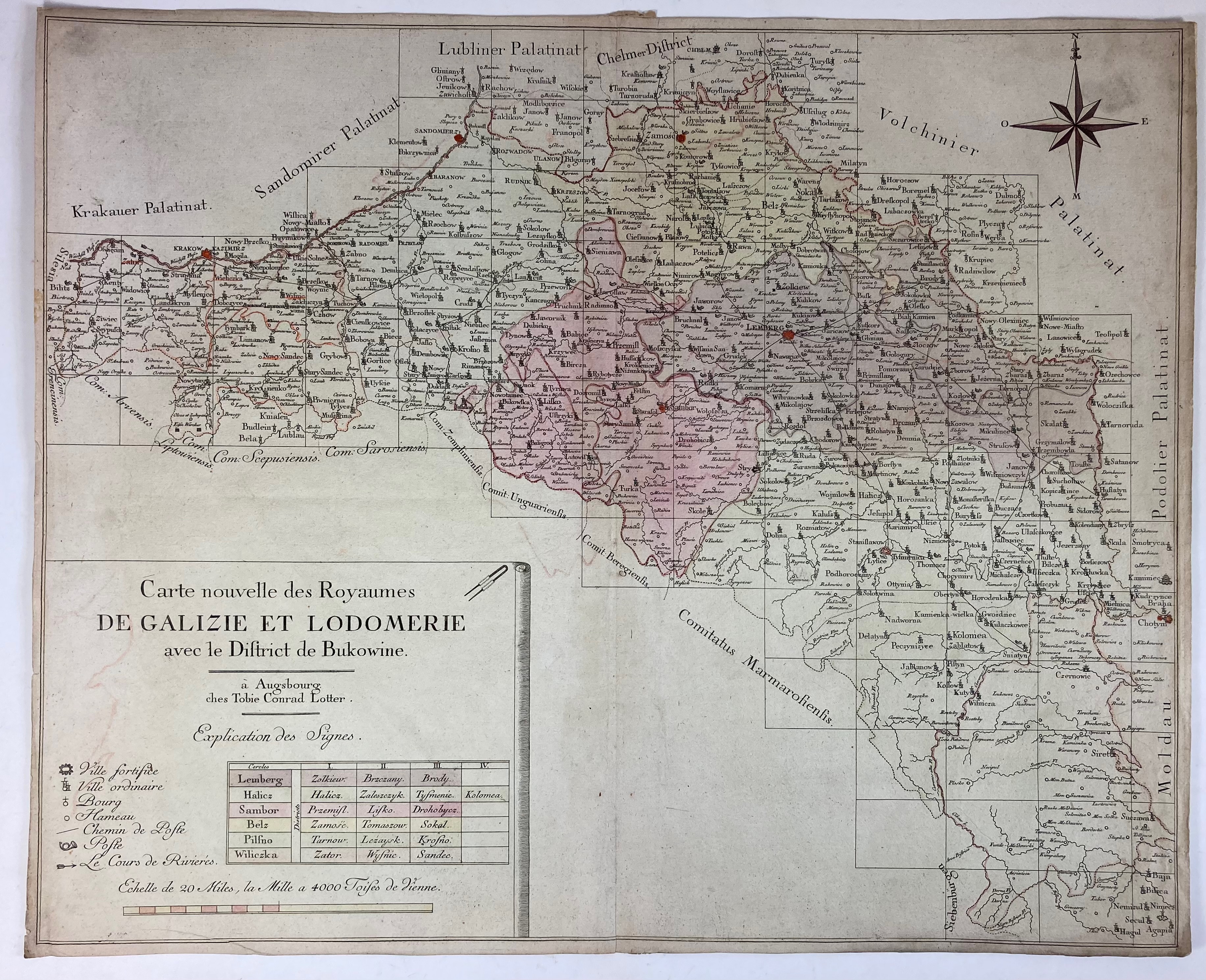
EASTERN EUROPE -- "CARTE NOUVELLE DES ROYAUMES DE GALIZIE et Lodomerie avec le District de Bukowine". Augsburg, T.C. Lotter, n.d. (c. 1760). Sparsely cold. engr. map w. scale indicator and compass rose. 490 x 605 mm. (Margins short).
Map showing the Kingdom of Galicia and Lodomeria, which was a crown land of the Habsburg Monarchy, acquired during the first partition of Poland and extending southeast to Bukowina, which is shown here shortly before the beginning of the Turkish occupation in 1769.€ 150
result € 220
Back