Lot 1029
1029
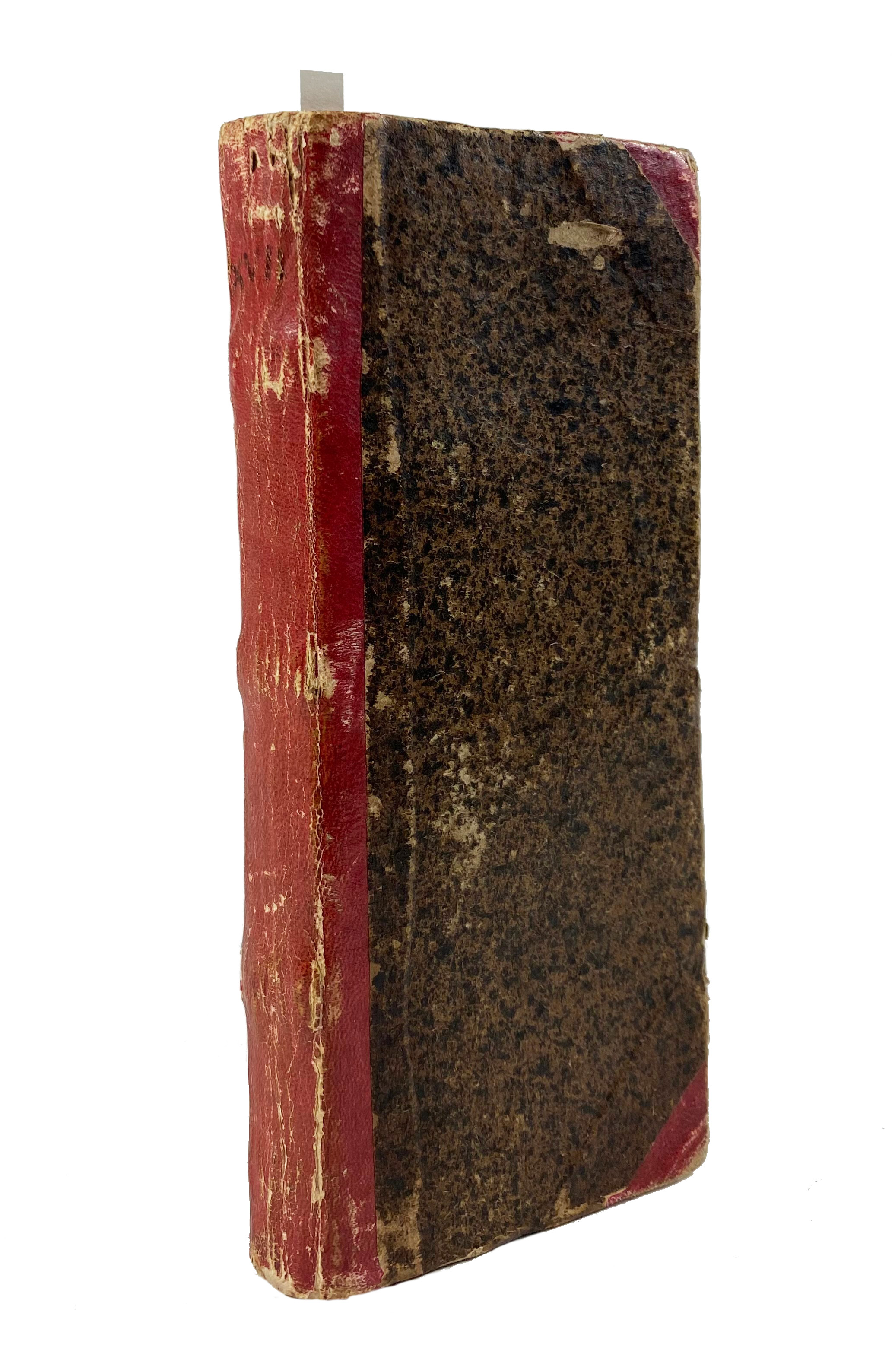
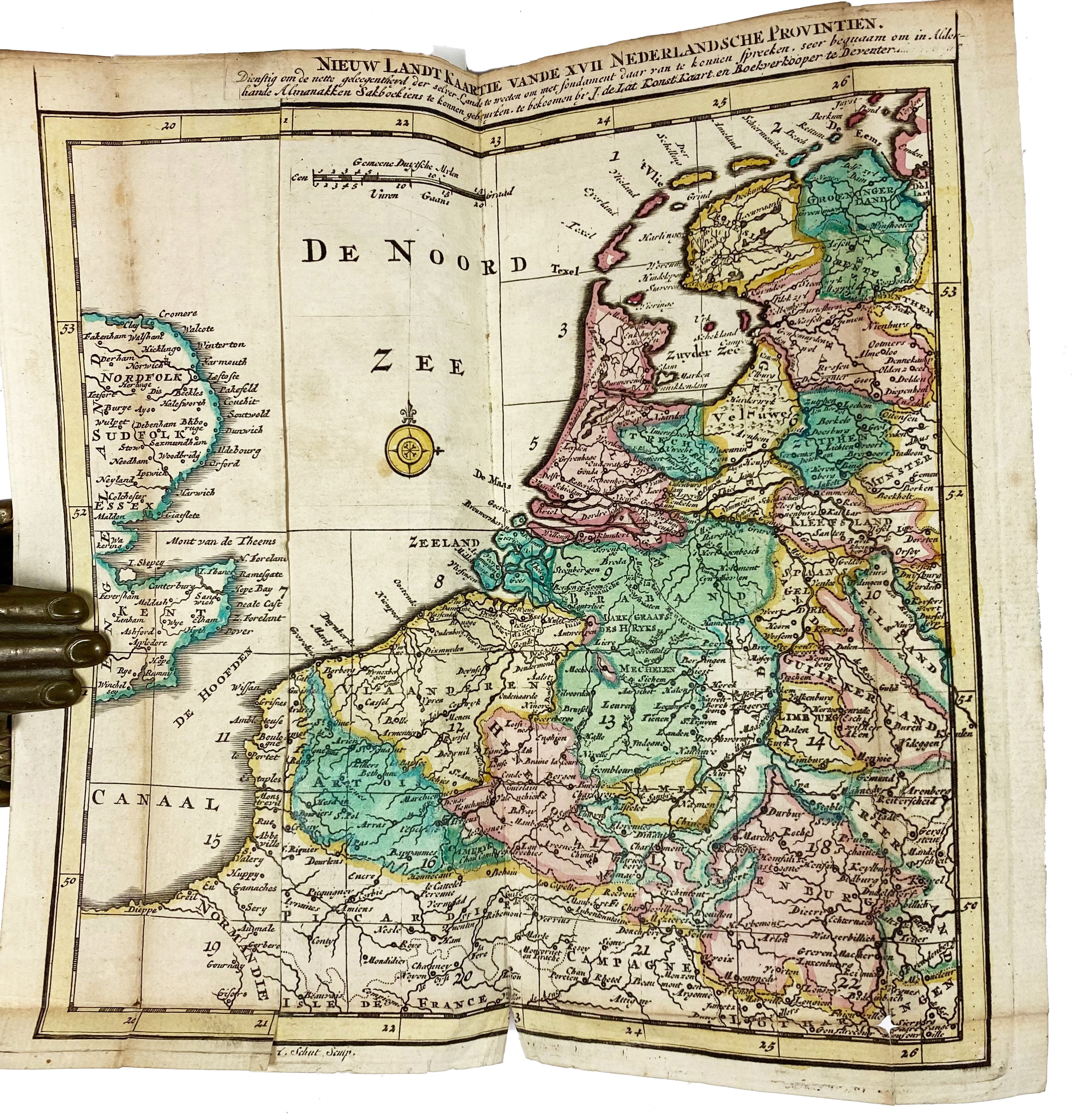
(LAT, J. de). Nieuw en Beknopt Kaart-Boekje, vertoonende de XVII. Nederlandse Provintien. Deventer, Joan de Lat, 1741. (16) pp. W. a fold. general map of the Netherlands, 22 fold. maps and 2 distance tables, all nicely cold. by hand. Narrow-8°. Cont. h. roan. (Some maps split on folds, some small rep. to last distance table, slightly browned, but a good copy).
Koeman II, Lat1a, note.€ 400
result € 500
Back

